Benbow State Recreation Area
Photo Gallery

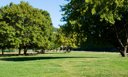
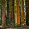
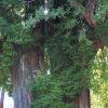
About Benbow State Recreation Area in Garberville, California
Benbow State Recreation Area in the Shelter Cove area is one of the many attractions, parks, and things to do in California. The map below will show you where Benbow State Recreation Area is located and also provide driving directions. For more information, contact them at (707) 923-3238 or on their website. Below is a list of the nearest beaches to Benbow State Recreation Area and other nearby attractions.
- Address
- 4889 Redwood Hwy
Garberville, CA 95542 - Phone
- (707) 923-3238
- Website
- Visit website

 56°F
56°FNearby Beaches
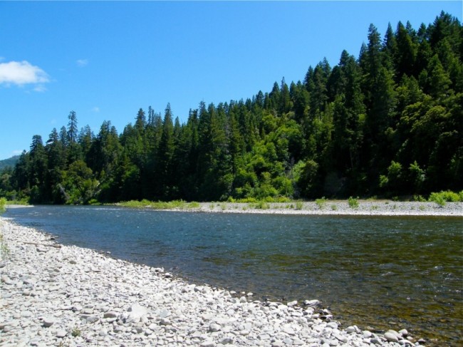
Jones Beach
10.8 miles away
Jones Beach is located below Jones Beach Camp on the bluff between two creek drainages in Sinkyone Wilderness State...

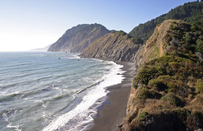
Needle Rock Beach
10.9 miles away
Needle Rock Beach is near the Needle Rock Visitor Center at Sinkyone Wilderness State Park. From the visitor center...
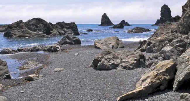
Bear Harbor Beach
11.2 miles away
Bear Harbor Beach is a small south-facing beach in Sinkyone Wilderness State Park. This dark sand beach is somewhat...
Nearby Attractions
Avenue of the Giants Scenic Drive
7.4 miles away
Avenue of the Giants is a 31 mile long scenic drive that uses roads that parallel Highway 101 between...
Nearby Lodging

Reviews
There are no reviews yet. Be the first one to write one.