Salmon Creek Falls
Photo Gallery
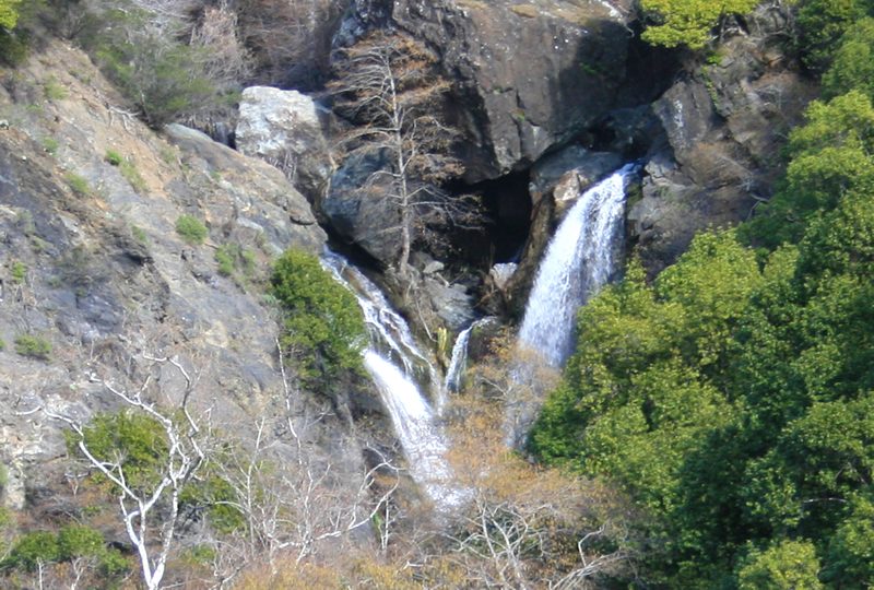
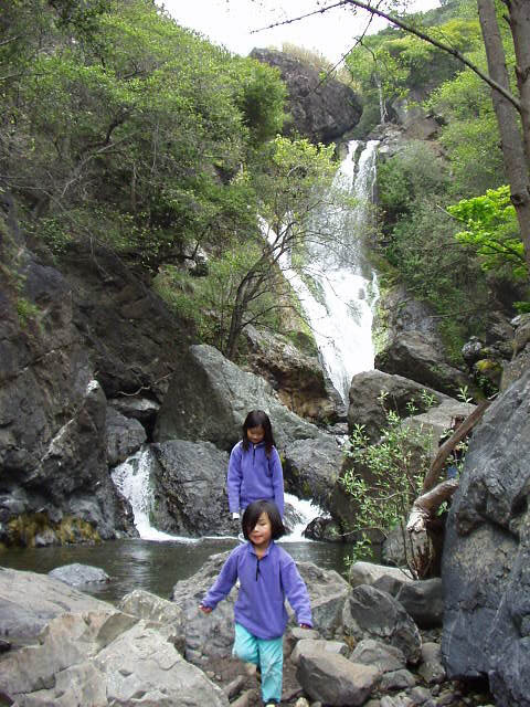
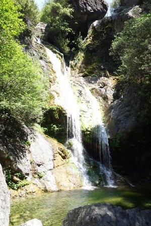
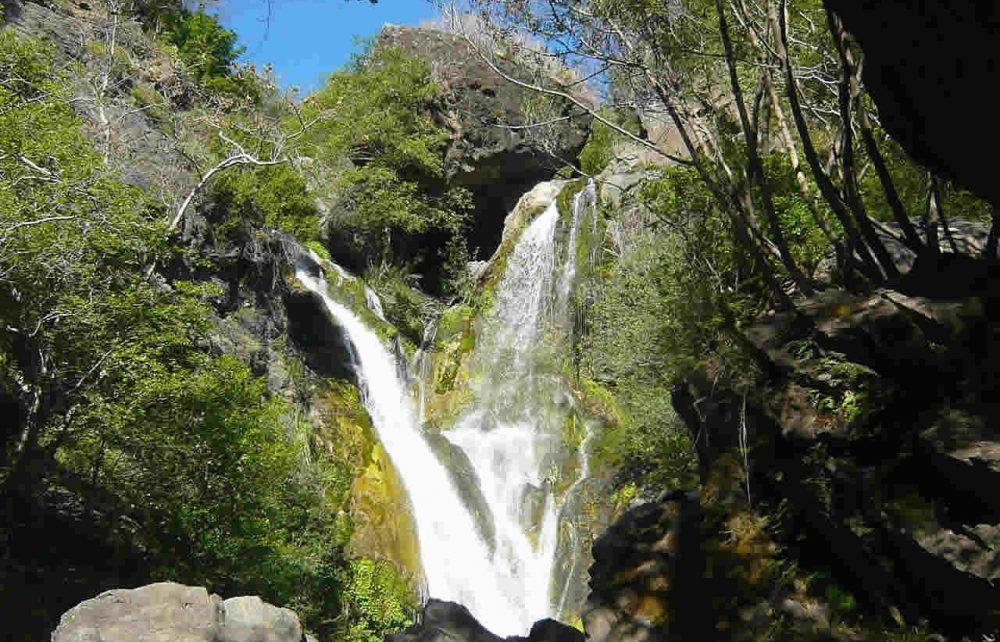
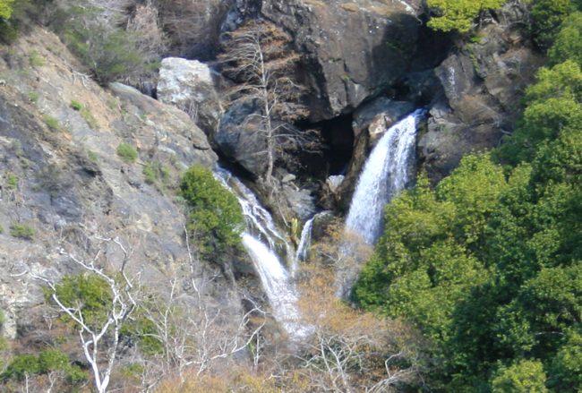

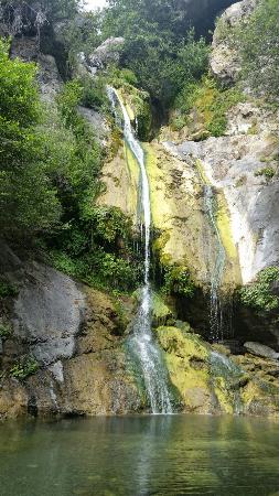
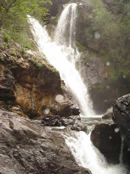
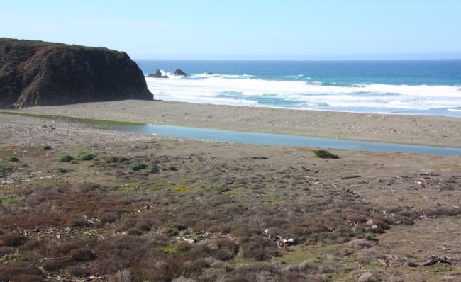
About Salmon Creek Falls in Big Sur, California
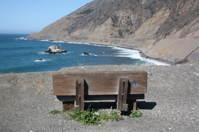
On your drive up the Big Sur Coast stop off at the Salmon Creek Ranger Station and do a short hike up the Salmon Creek Falls. It’s only about a quarter mile up to the falls from a short trail that begins at the sharp bend in the highway near the ranger station. From the station the Buckeye Trail climbs high up into the mountains to the north above the ocean. In the other direction the Salmon Creek Trail begins south then turns inland to follow the creek valley above the falls. There are several ways to venture deep into the Silver Peak Wilderness in Los Padres National Forest if you want a bigger hike or even a backpacking trip. For most of us, the short walk to the falls is enough to satisfy our need to see nature along this scenic coast.
- Address
- 76800 Highway 1
Big Sur, CA 93920 - Website
- Visit website

 51°F
51°FNearby Beaches
Young Creek Beach at Ragged Point Inn
2.4 miles away
Young Creek Beach is the official name of the beach below the Ragged Point Inn and Resort on the...
San Carpoforo Creek Beach
3.4 miles away
The San Carpoforo Creek Beach Access is the northernmost portion of the state-owned properties in Hearst San Simeon State Park....
Alder Creek Beach
3.6 miles away
About seven miles north of the San Luis Obispo and Monterey County line is a spot along Highway 1...
Nearby Attractions
Nacimiento-Fergusson Road
11.9 miles away
Nacimiento-Fergusson Road is quite an adventure. It starts at the Big Sur Coast on Highway 1 between Gorda Springs Resort and...

Hearst San Simeon State Historical Monument
12.1 miles away
On a hilltop overlooking the Pacific Ocean in the Santa Lucia Mountains five miles inland and 1,600 feet above...
Nearby Lodging

Ragged Point Inn
2.5 miles away
Ragged Point is located on the Big Sur Coast 15 miles north of San Simeon’s Hearst Castle and midway...

Gorda Springs Resort
5.7 miles away
Gorda Springs by the Sea is located in the Big Sur area of the winding coastal Highway 1. Just...
Related Articles

Reviews
There are no reviews yet. Be the first one to write one.