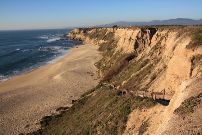
Big Flat on the Lost Coast Trail
Photo Gallery


About Big Flat on the Lost Coast Trail in Honeydew, California
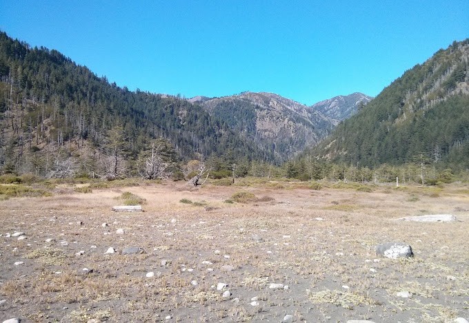
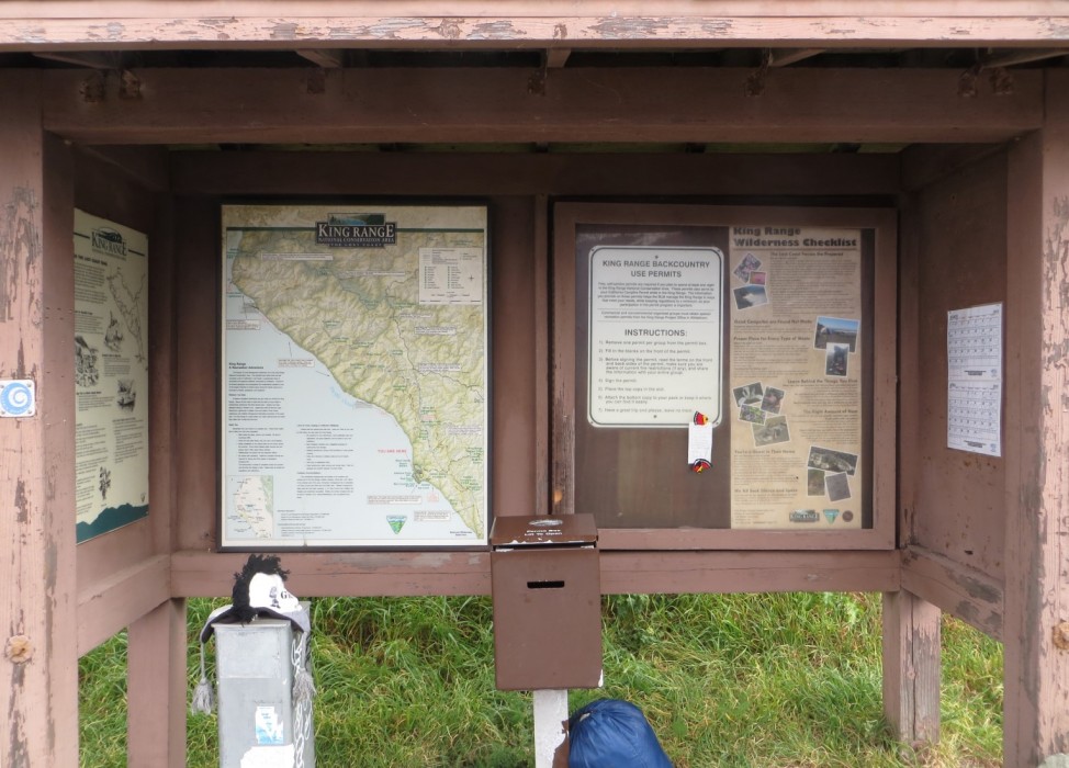
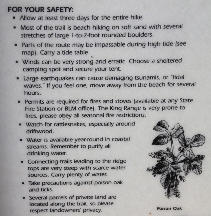
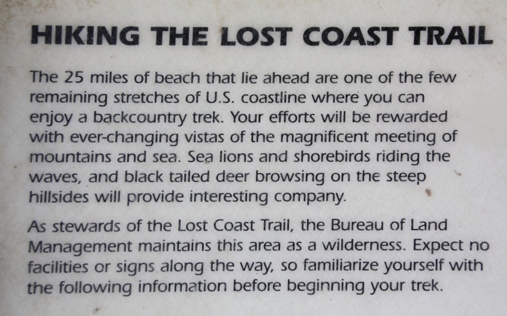
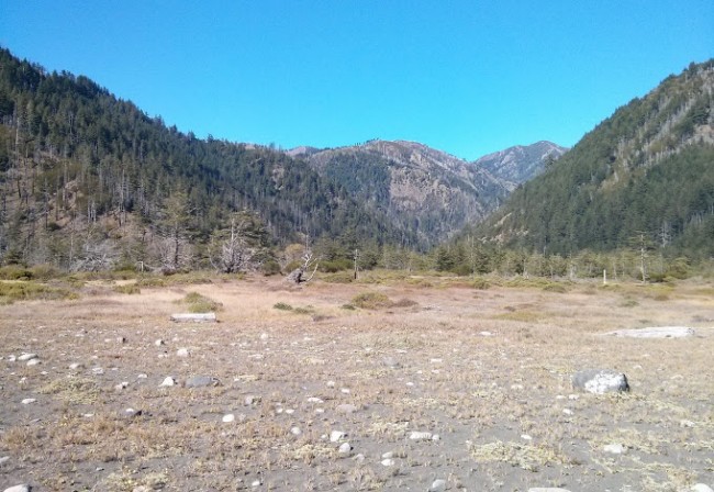
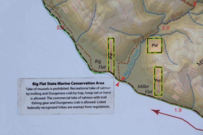
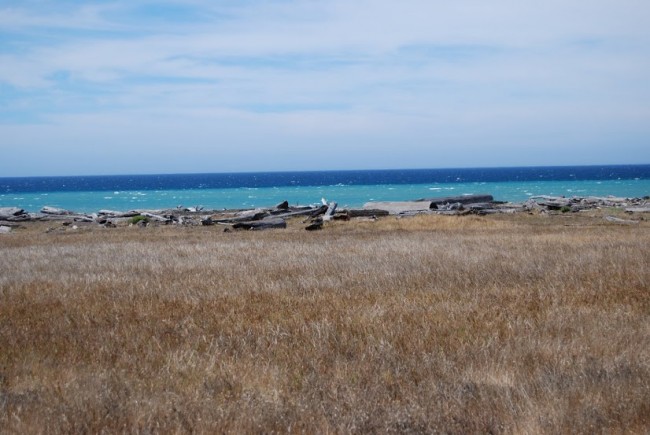
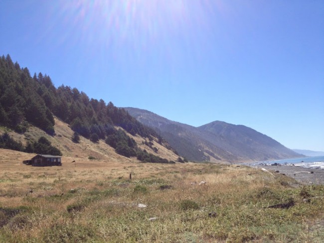
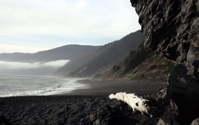
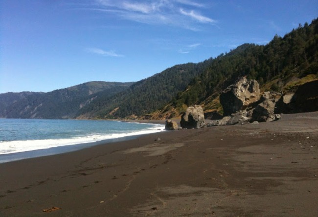
Big Flat Beach is a backpacking stop along The Lost Coast Trail in Humboldt County. Big Flat and Miller Flat make up this wide sandy, rocky, driftwoody spot at the mouth of Big Flat Creek. There is a plane landing strip in the flats and private parcels near the creek. This area is located about 12 coastal miles north of the town of Shelter Cove. It’s possible to walk on the beach to here from Black Sands Beach in Shelter Cove, but you must avoid high tides. It’s also possible to hike down to this spot from the North Slide Peak or Lightning Trailhead which would be a shorter trip (9 and 10 miles respectively), but much harder due to the extreme elevation change. This remote region is called the King Range National Conservation Area. It is managed by the Bureau of Land Management so visit their website for trail maps if you want to head out here. Free overnight backcountry permits are available at the trailheads and BLM offices. They are required for anyone staying within the King Range. Bears are known to frequent Big Flat and Miller Flat so prepare accordingly and note that bear canisters are required if camping.
- Address
- Smith Etter Rd
Honeydew, CA 95545 - Park Name
- King Range National Conservation Area
- Other Names
- Miller Flat
- Owner
- BLM
- Pet Details
- No dogs allowed on the beach
- Fees
- Free backcountry permits issued at trailheads
- Activities
- Backpacking, Camping, Beachcombing
- Amenities
- Wilderness Campsites, Creek, Driftwood, Trails

 52°F
52°FNearby Beaches
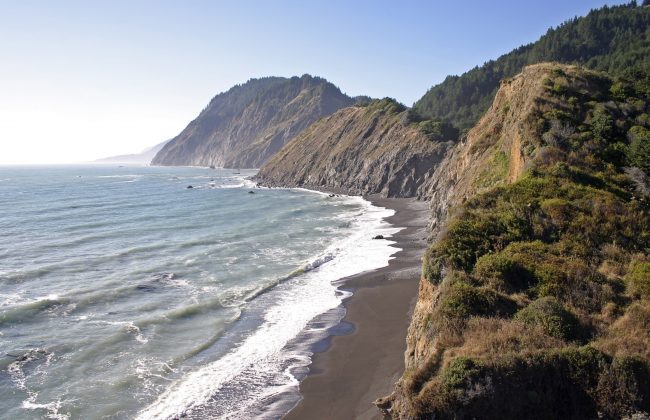
Spanish Flat on the Lost Coast Trail
4.9 miles away
Spanish Flat Beach in King Range National Conservation Area is a coastal backpacking camp along The Lost Coast Trail...
Black Sands Beach of Shelter Cove
6.7 miles away
Black Sands Beach is the south end of a long walkable coastline that is over 20 miles long between...
Little Black Sands Beach
7 miles away
Little Black Sands Beach is located at the north end of the small resort town of Shelter Cove. It’s...
Nearby Attractions
King Range National Conservation Area
6.9 miles away
If you are looking to explore California’s Lost Coast but not willing to commit to the epic backpacking route,...
Honeydew Country Store
7.3 miles away
Honeydew Country Store is a small general store and deli (with burgers too) on the way to Mattole River...
Nearby Lodging
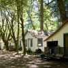
Mattole River Organic Farms Country Cabins
6.5 miles away
The well-appointed campgrounds of Mattole River Organic Farms and Country Cabins generate an appealing destination for visitors to Northern...

The Spyglass Inn
7.2 miles away
With four generous suites overlooking ocean views, the luxurious Spyglass Inn promotes spectacular scenery, tucked away along the remote...
Related Articles
Related Maps
Reviews
There are no reviews yet. Be the first one to write one.