Border Field State Park Beach
Photo Gallery


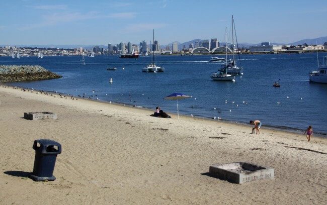
About Border Field State Park Beach in San Diego, California
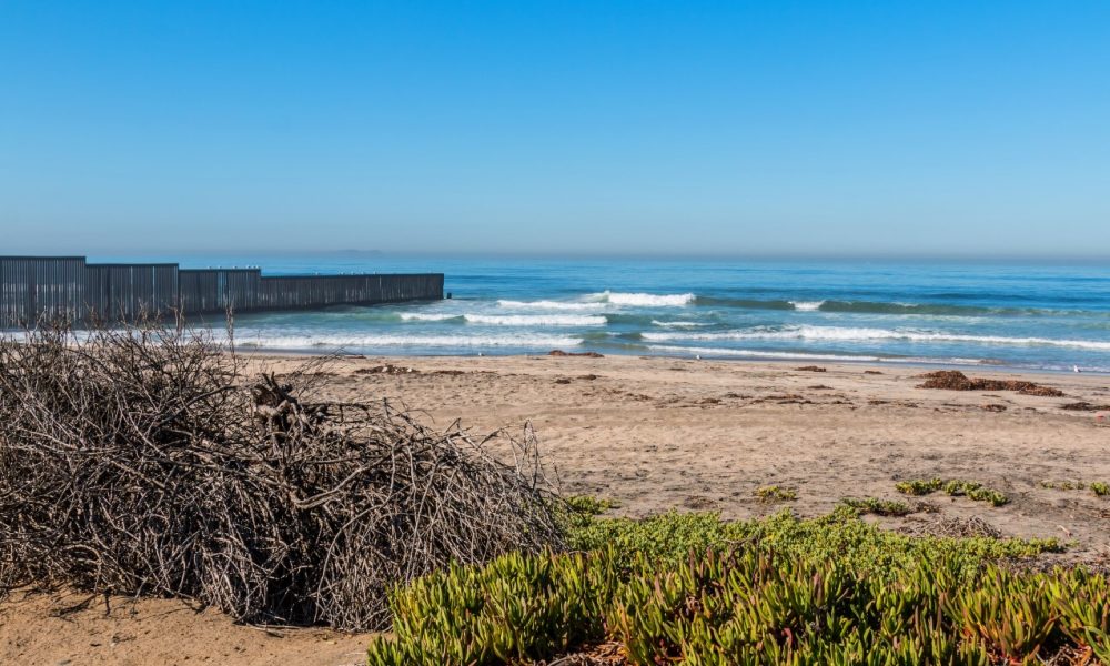
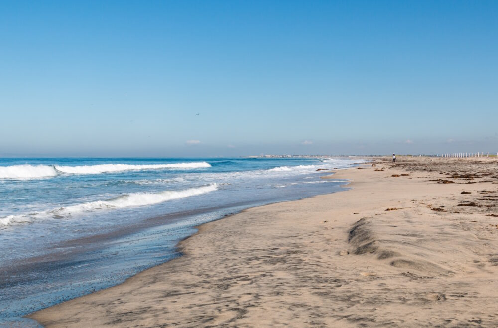
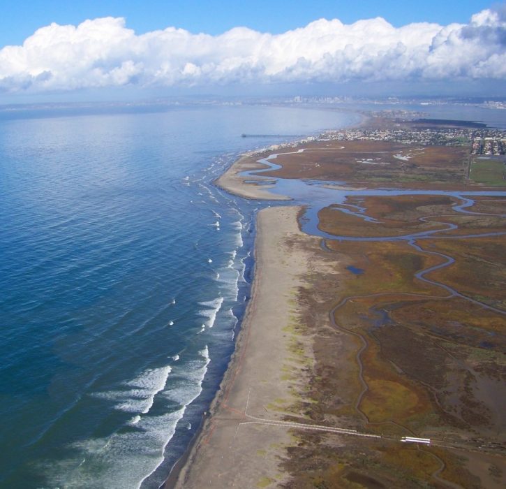
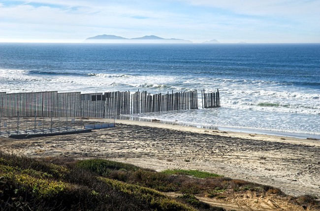
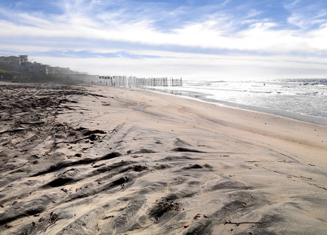
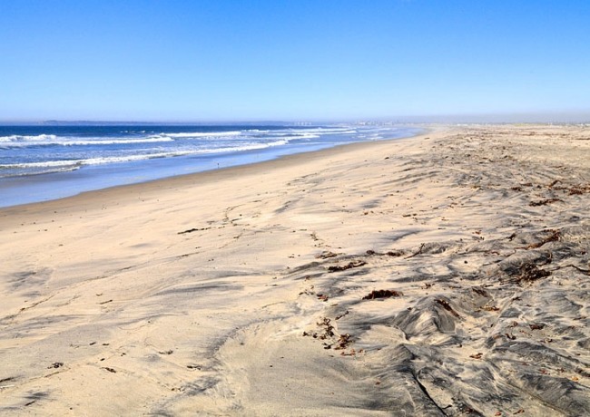
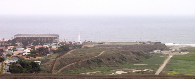
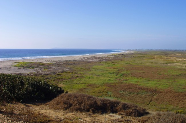
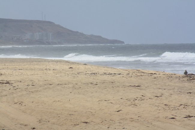
The beach at Border Field State Park is the southernmost beach in California. This beach starts at the Mexican border and continues north to the mouth of the Tijuana River. Because the river is too high to wade across and is backed by wetlands, it requires driving around the estuary to reach the beach at Border Field State Park.
Border Field State Park and the adjacent Tijuana River National Estuarine Research Reserve are jointly managed by the state of California. For information about this unique state park and the reserve, stop into the Tijuana Estuary Visitor Center located at 301 Caspian Way in Imperial Beach.
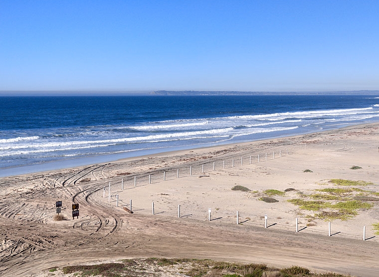
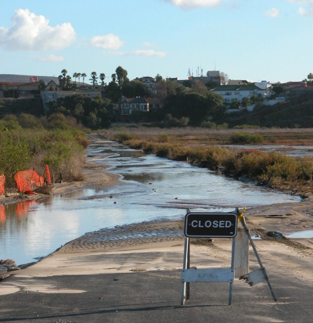
Monument Mesa in Border Field SP is located in the southwest corner of the park next to the border fence. This developed area has picnic areas, BBQ grills, restrooms, a grass park, and accessible trails. Unfortunately the Border Field State Park roads and entrances are regularly closed due to flooding, especially in the winter months, so check ahead for their status. Even when the roads are in good shape the state park typically only opens the gates on the weekends. If gates are closed to vehicles, then you can still park near the gates and walk into the park during daylight hours. It’s about a mile from the entrance gate to the beach straight ahead.
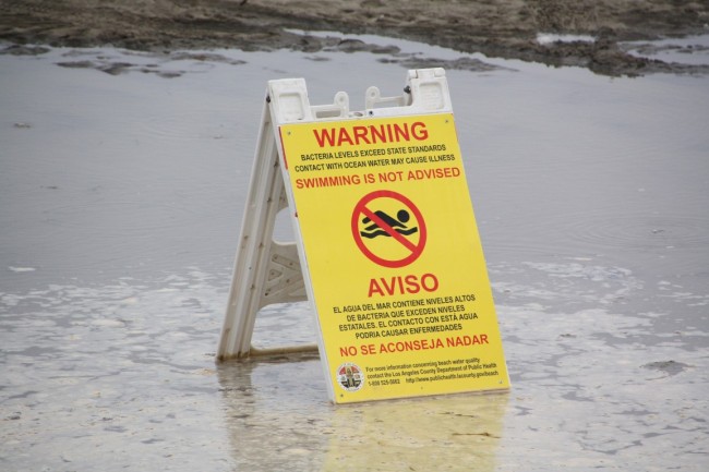
To get to Border Field State Park, drive south on I-5 from the San Diego area and then take the Dairy Mart Road exit and drive west to the end (it becomes Monument Road). Signs spell out warnings of sewage contamination in the ocean water so do not swim here.
When Border Field State Park is closed, a good alternative beach is on the other side of the river mouth at Tijuana Slough National Wildlife Refuge which can be reached from the end of Seacoast Drive in Imperial Beach.
- Address
- 1500 Monument Rd
San Diego, CA 92154 - Phone
- 619-575-3613
- Park Name
- Border Field State Park
- Other Names
- Desembocadura del Río Tijuana, Monument Hill, Friendship Park
- Owner
- State Park
- Pet Details
- No dogs allowed on the beach, but ok on leash at picnic area
- Fees
- Fee for vehicles to enter, but free to walk in.
- Activities
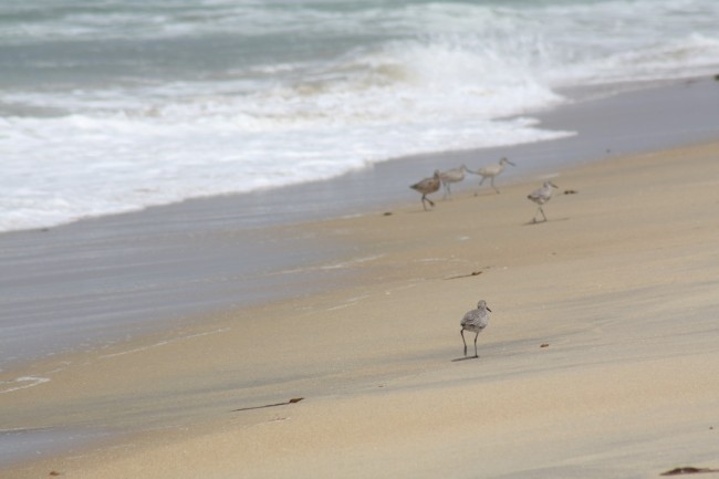
- Birdwatching, Hiking, Picnicking, Equestrian Use, Bonfires, Beach Walking, (no swimming)
- Amenities
- Trails, Wetlands, Restrooms, Fire Pits, Picnic Tables, BBQs, Group Picnic Areas
 67°F
67°FNearby Beaches
Tijuana Slough National Wildlife Refuge
1.8 miles away
Tijuana Slough National Wildlife Refuge is part of Tijuana River National Estuarine Research Reserve, a large protected area of...
South Imperial Beach
2.2 miles away
Imperial Beach continues south of Imperial Beach Boulevard all the way to the southern end of Seacoast Drive. South...
Imperial Beach City Beach
2.6 miles away
Imperial Beach, California has an impressive beach running the length of its waterfront. Imperial Beach City Beach is generally...
Nearby Attractions


Tijuana Estuary Visitor Center
2.3 miles away
Tijuana Estuary Visitor Center is the place to start for a visit to this vast natural setting. The Tijuana...
Nearby Lodging


Related Articles

Reviews
This is a wonderful beach that is underused because it’s hard to get to. Currently the park is closed due to damage from the hurricane. From the State Park website: Effective August 20, 2023: Border Field State Park will be closed due to damage from Hurricane Hillary and cross-border flows related to failure of wastewater treatment plant infrastructure on the border. The roads and trails may be flooded with sewage contaminated water and mud. Out of precaution and public safety, the park is closed to hiking, biking, equestrian activity and vehicles until further notice.