Clam Beach at Fort Ross
Photo Gallery


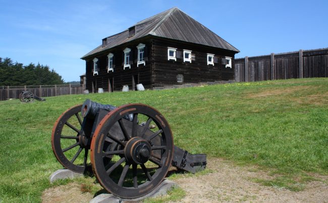
About Clam Beach at Fort Ross in Jenner, California
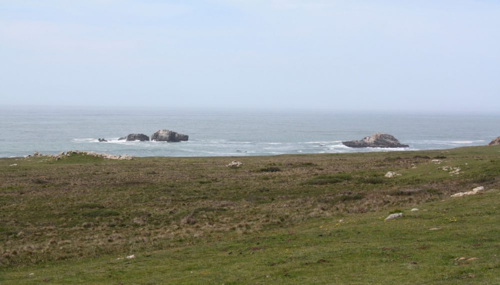
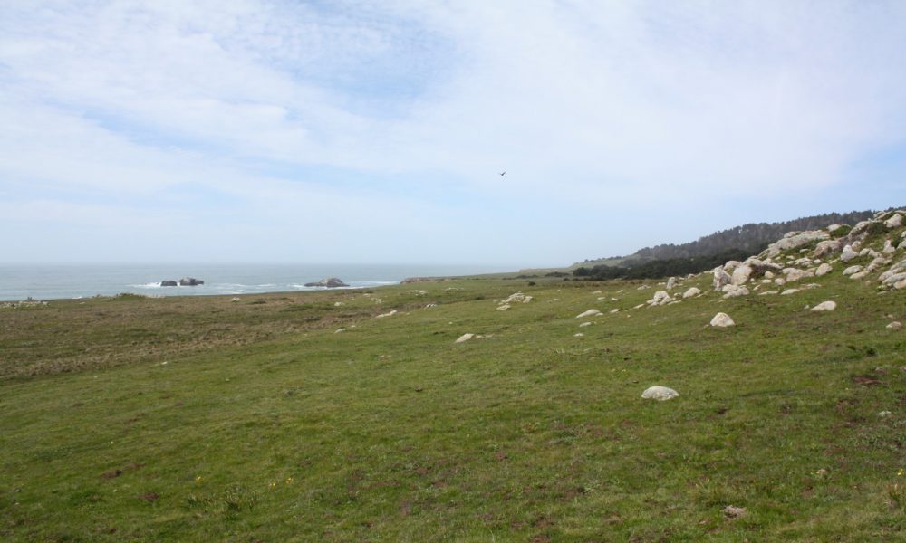
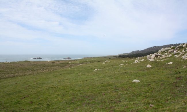
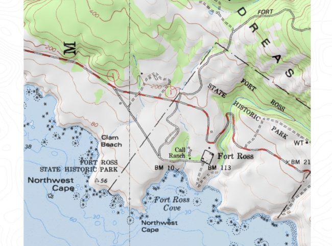
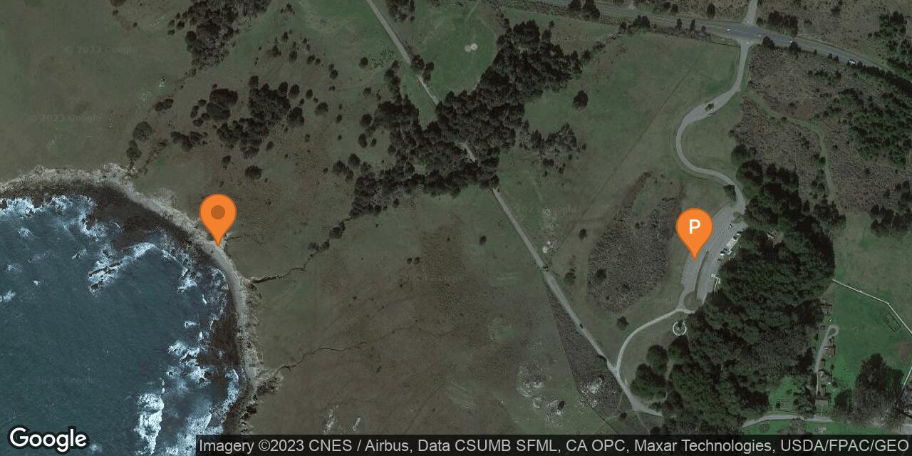
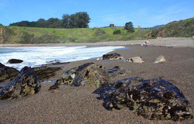
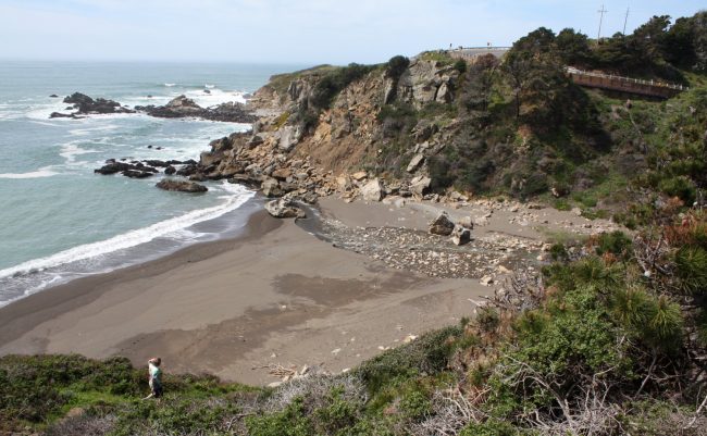
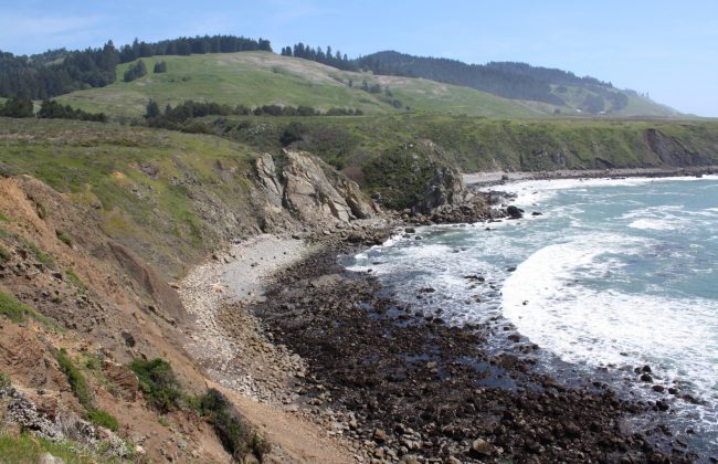
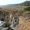
Clam Beach is on the north side of Northwest Cape in Fort Ross State Historic Park. The USGS maps call this stretch of beach below steep towering cliffs “Clam Beach” but it is not labeled on Fort Ross State Park maps (but they do label this area for diving and fishing).
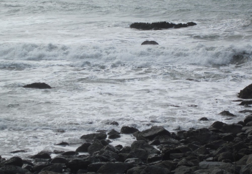
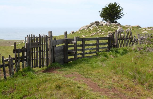
A trail begins at a wooden gate near the main state park parking lot and the Fort Ross Windmill. It crosses the plateau and follows the bluff north toward Clam Beach. Access to the beach is not official or easy to spot, but the main reason to come out here is to hike. If you do find the beach you might be treated to tide pools, especially at low tide. Bring sturdy shoes to walk on this rocky shoreline.
- Address
- 19005 Coast Hwy
Jenner, CA 95450 - Park Name
- Fort Ross State Historic Park
- Owner
- State Park
- Pet Details
- No dogs allowed on the trail or beach
- Fees
- Fee for parking
- Activities
- Hiking, Fishing, Scuba Diving, Beach Exploration, Beachcombing
- Amenities
- Trails, Restrooms, Tide Pools
 49°F
49°FNearby Beaches
Sandy Cove Beach at Fort Ross
0.6 miles away
Sandy Cove Beach is the main beach at Fort Ross State Historical Park. This is a pleasant sandy beach with clear...
Kolmer Gulch Beach
0.7 miles away
Kolmer Gulch Beach is a hard to reach sandy beach at the north end of Fort Ross State Historic...
Fort Ross Campground Beach
1 miles away
There is a rocky driftwood covered beach below the Reef Campground and Day-Use Area at Fort Ross State Historical...
Nearby Attractions
Phillips Gulch Falls
5.8 miles away
A seasonal waterfall pours over a rocky cliff in a hidden part of Salt Point State Park in Sonoma County....
Nearby Lodging
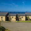
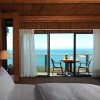
Timber Cove Resort
1.5 miles away
With mesmerizing views overlooking the rugged Sonoma coastline, the naturally sophisticated Timber Cove Resort offers a rejuvenating destination in...
Related Articles
Related Maps
Reviews
There are no reviews yet. Be the first one to write one.