Mattole River Beach
Photo Gallery


About Mattole River Beach in Petrolia, California
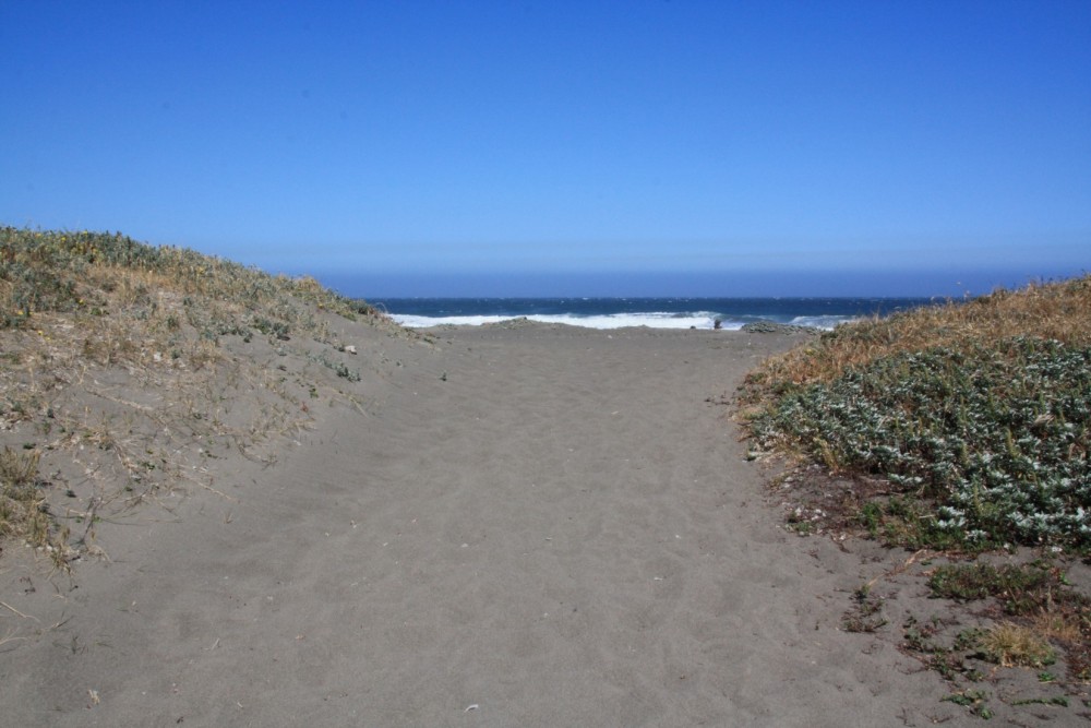
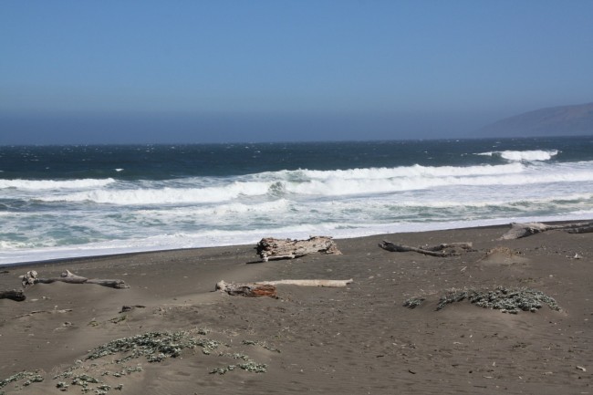
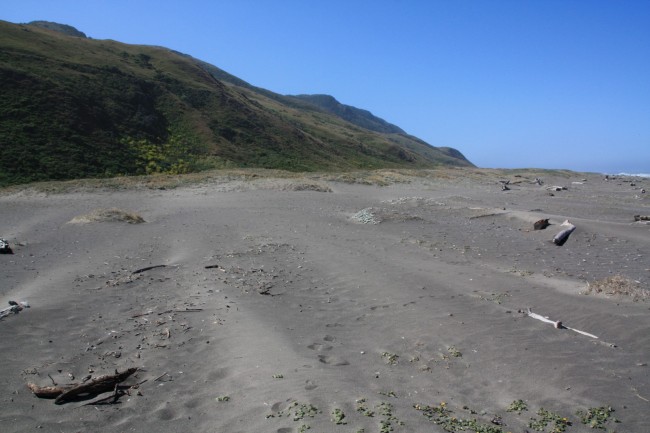
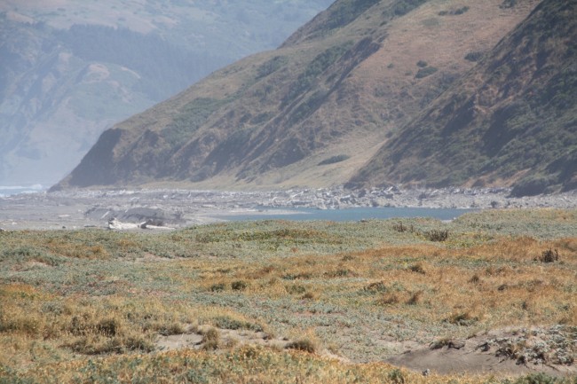
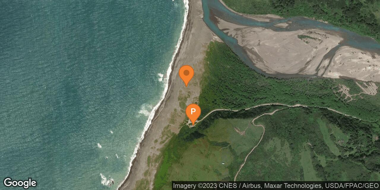
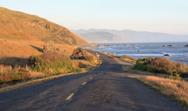
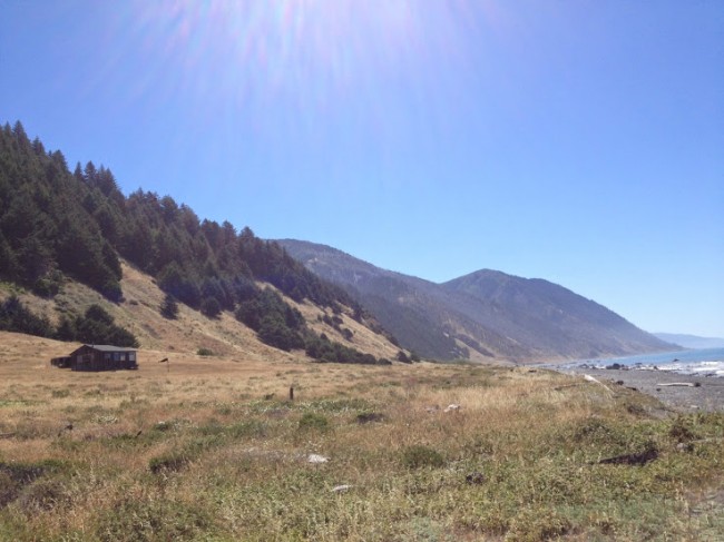
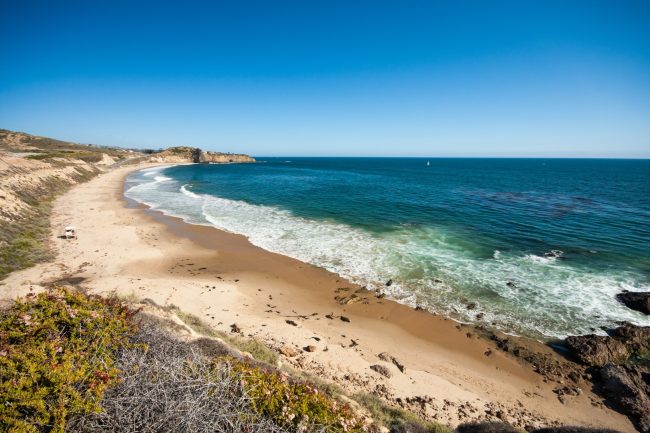
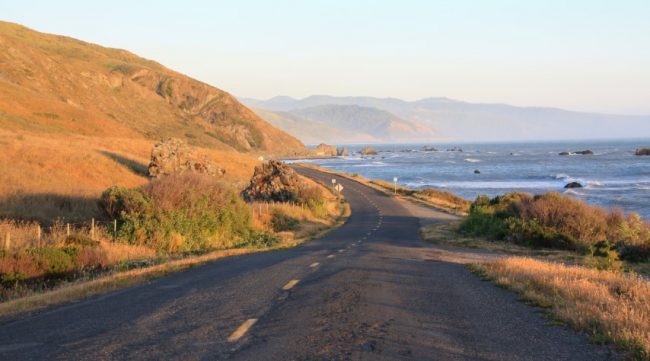
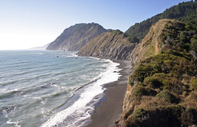
Mattole Beach is at the sandy mouth of the Mattole River at the north end of King Range National Conservation Area. This remote area is reached via a long winding drive down the Mattole Road from either Weott (east) or Ferndale (north). The beach is down Lighthouse Road which begins near the tiny town of Petrolia on the Mattole Road.
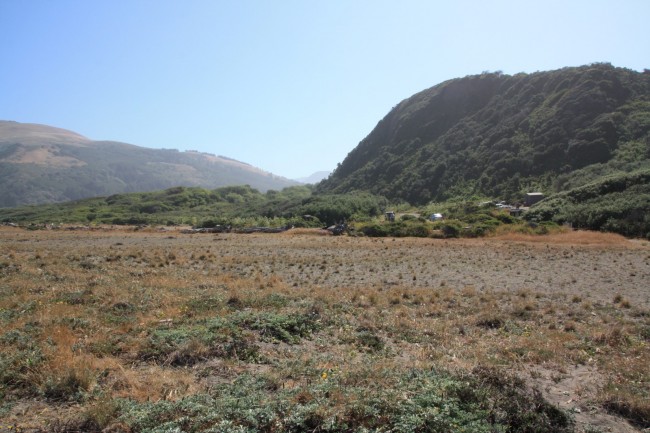
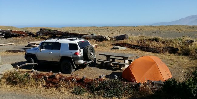
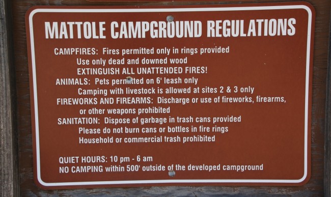
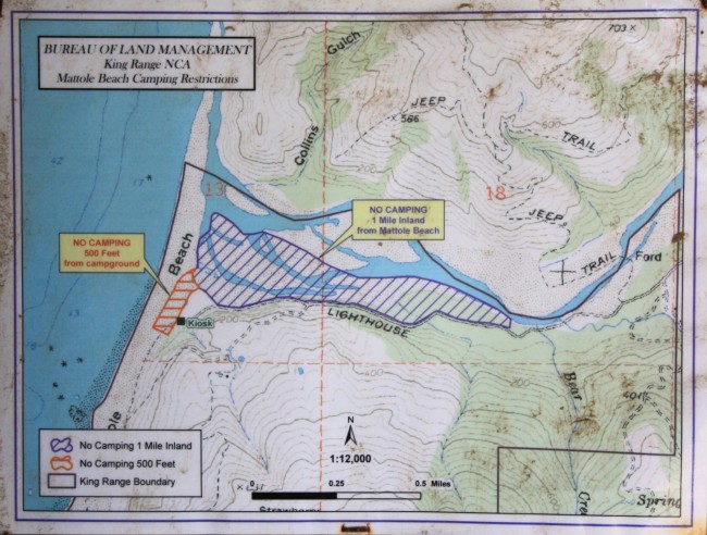
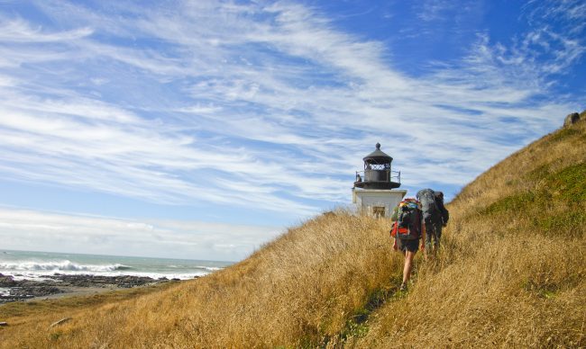
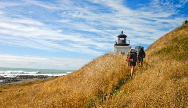
Mattole Campground is at the beach and offers camping, picnic areas, and hiking opportunities. The Lost Coast Trail begins here and takes hikers and backpackers south to Punta Gorda Lighthouse (a day hike) and other remote beaches on the route to Black Sands Beach in Shelter Cove 25 miles away.
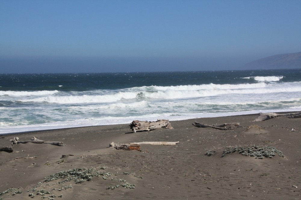
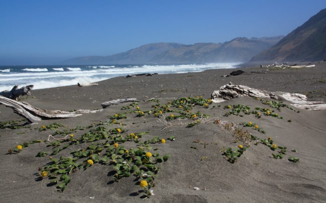
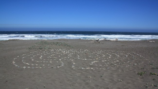
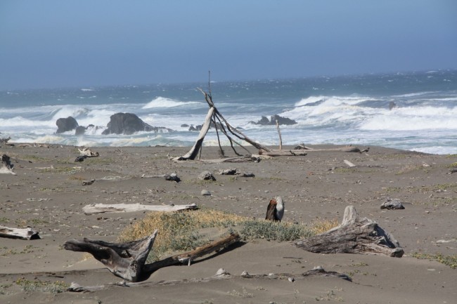
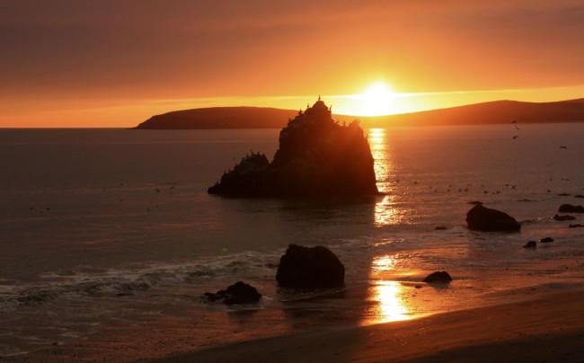
Beachcombing is good either direction on the beach from the campground, however, the river mouth isn’t far away to the north and it’s too large to cross. Driftwood is abundant at the beach.
If you are camping, watch the forecast as the weather can be wild in these parts.
Restrooms and potable water are provided near the campground entrance (water is shut off in November through winter typically).
- Address
- 3750 Lighthouse Rd
Petrolia, CA 95558 - Park Name
- Mattole River Recreation Site, King Range National Conservation Area
- Other Names
- Mattole Beach
- Owner
- BLM
- Pet Details
- No dogs allowed on the beach
- Fees
- Free day-use parking, fees for camping
- Activities
- Hiking, Backpacking, Beachcombing, Camping
- Amenities
- Restrooms, Picnic Tables, Trails, Campground, Driftwood, River
 48°F
48°FNearby Beaches
Punta Gorda Lighthouse
2.5 miles away
Punta Gorda Lighthouse along the Humboldt County Coast is nearly a four mile walk on the beach from the...
Mattole Road Beaches
6.1 miles away
There are many unnamed beaches along the remote Mattole Road near the town of Petrolia in Humboldt County. These...
Spanish Flat on the Lost Coast Trail
7.9 miles away
Spanish Flat Beach in King Range National Conservation Area is a coastal backpacking camp along The Lost Coast Trail...
Nearby Attractions
Petrolia General Store
3.7 miles away
This little store is your last option for grub before getting to Mattole Beach and the start of The...
A. W. Way County Park
5.9 miles away
A. W. Way Park is on a sharp bend in the Mattole River near Petrolia. This Humboldt County facility...
Nearby Lodging
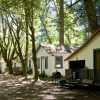
Mattole River Organic Farms Country Cabins
9.7 miles away
The well-appointed campgrounds of Mattole River Organic Farms and Country Cabins generate an appealing destination for visitors to Northern...
Related Articles
Reviews
There are no reviews yet. Be the first one to write one.