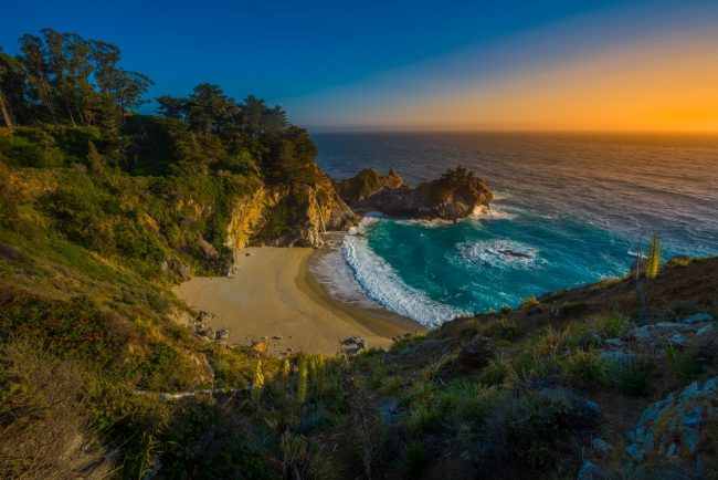
Trestles Beach
Photo Gallery


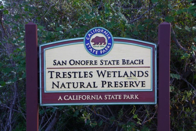


About Trestles Beach in San Clemente, California
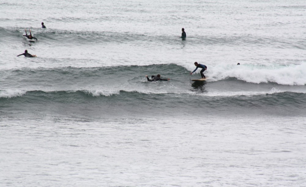
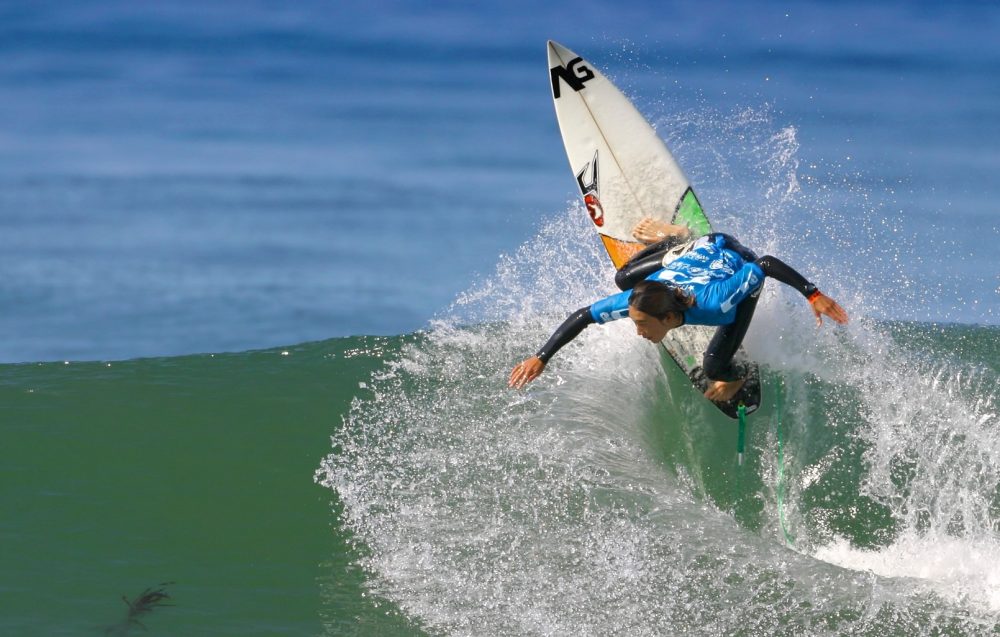
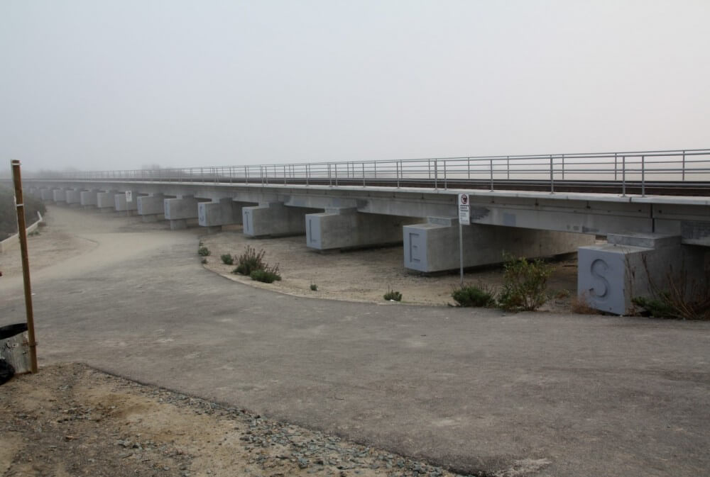
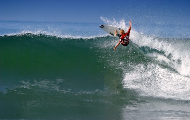
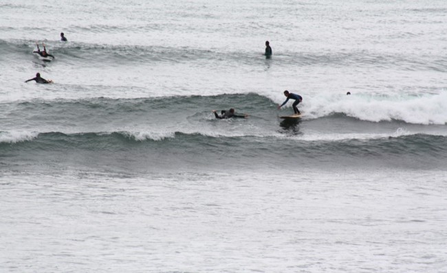
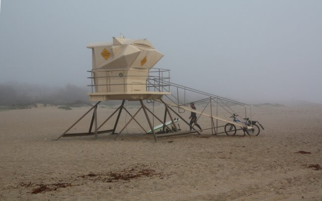
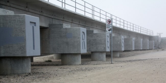
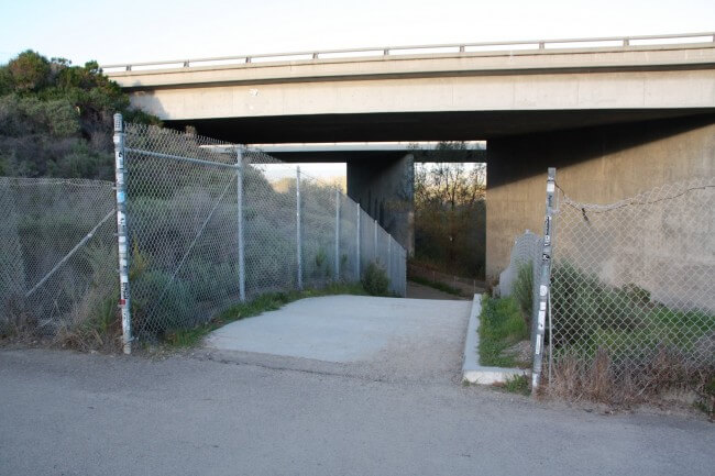
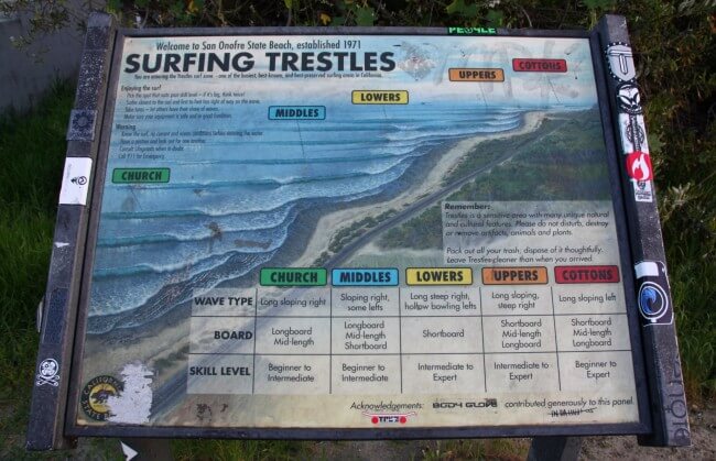
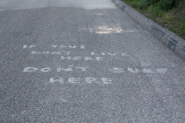
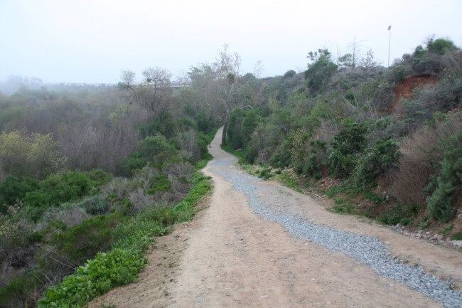
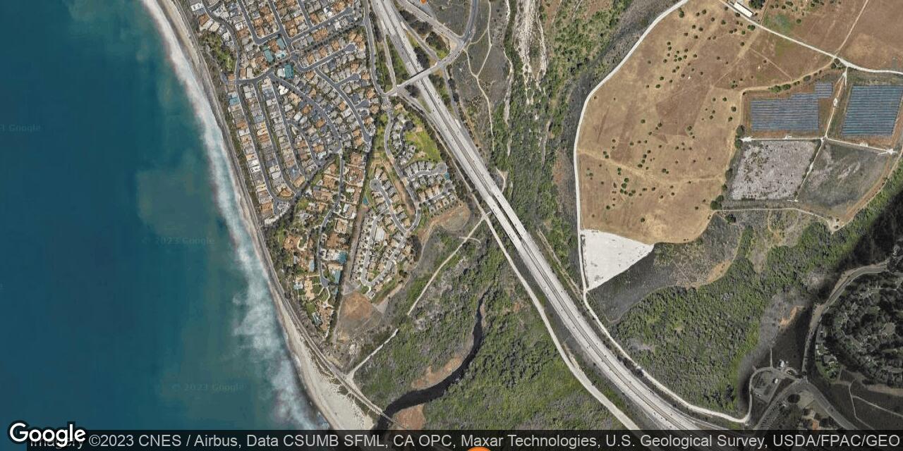
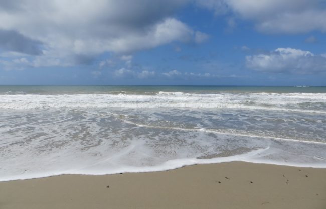
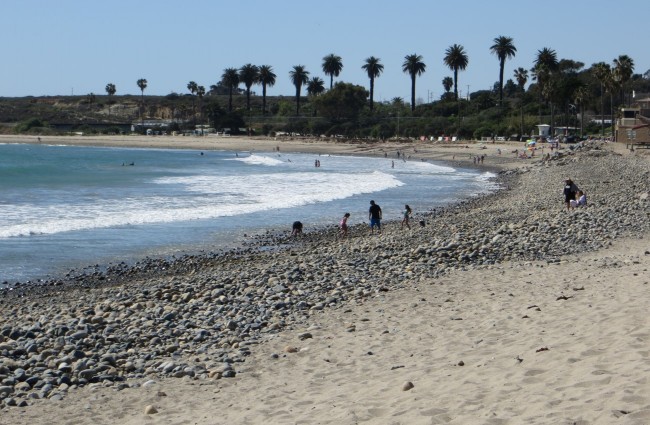
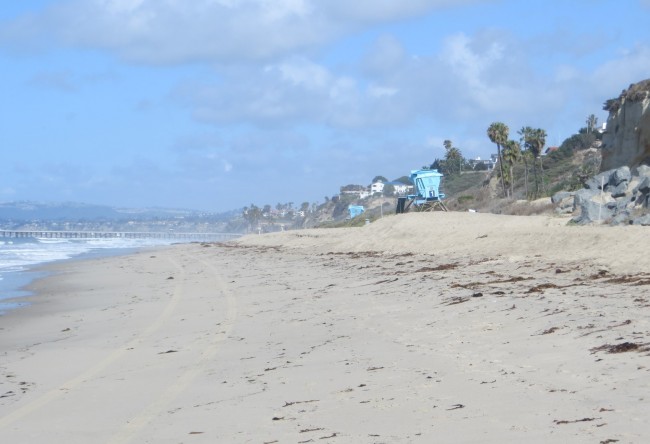
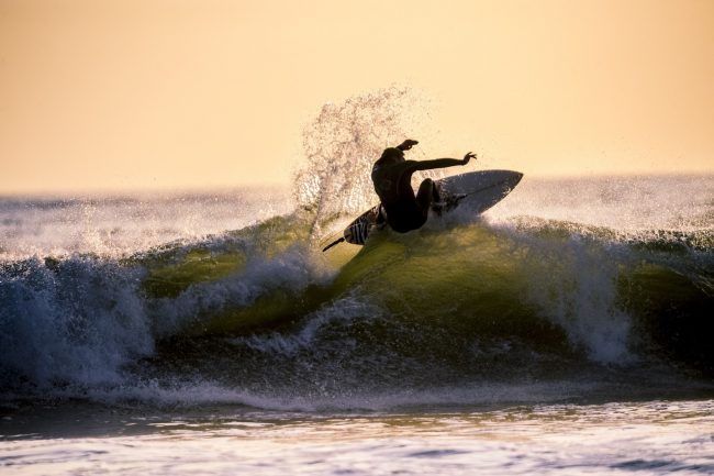
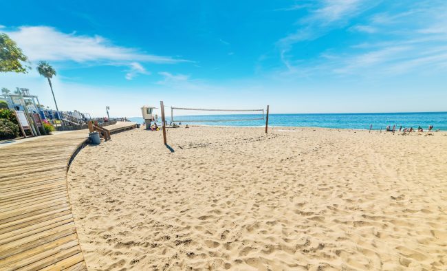
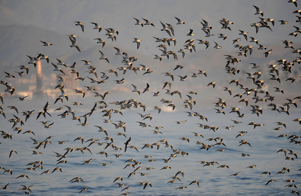
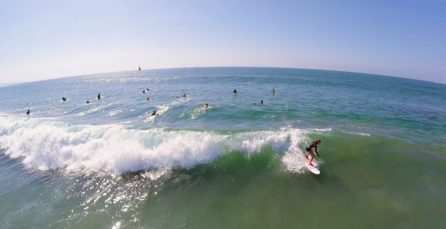
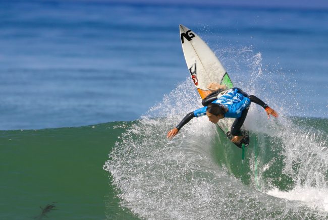
Trestles Beach is the northernmost part of San Onofre State Beach and of San Diego County, but access is from San Clemente in Orange County. Surfers know this area near San Mateo Point as Uppers, Lowers, and Middles for the different surf spots near the train trestle the beach is named after. Unfortunately this surf area is fraught with localism which can be seen in the various spray-painted warnings along the path to the beach. Under the trestle at the beach San Mateo Creek stagnates and sometimes flows through the sand to the ocean. This wetlands area is called Trestles Wetland Natural Preserve and it is popular with local bird-watchers. It is a long walk down the trail from the parking area to the beach (about 1 mile each way).
The parking area is located near the intersection of S El Camino Real and Cristianitos Road east of Interstate 5 in San Clemente. A dirt path begins at this intersection and dips under I-5 on the way to the beach. Another path, which is flatter and paved, begins on the other side of I-5 and can be reached by walking over the bridge. San Mateo Campground is near the beach trail parking lot. The San Mateo area of San Onofre State Beach State Park has many hiking trails to explore.
- Address
- 3929 S El Camino Real
San Clemente, CA 92672 - Park Name
- San Onofre State Beach, Trestles Wetland Natural Preserve
- Other Names
- Uppers, Lowers, Middles, Cottons
- Owner
- State Park
- Pet Details
- No dogs allowed on the beach
- Fees
- Free parking
- Activities
- Surfing, Sunbathing, Birdwatching, Hiking
- Amenities
- Trails, Toilets
 58°F
58°FNearby Beaches
Cyprus Cove – Cyprus Shore Beach
0.8 miles away
The private communities of Cyprus Cove and Cyprus Shore share a beach that is actually the southernmost beach in...
Camp Pendleton - San Onofre Beach
1 miles away
San Onofre Recreational Beach is located on federal property in Camp Pendleton. It is only for military personnel and their...
San Clemente State Beach
1.2 miles away
San Clemente State Beach has a large campground and day-use parking area on a prime piece of San Clemente...
Nearby Attractions

Nearby Lodging
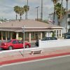
San Clemente Surf Inn
0.9 miles away
Close to the beach, the freeway and pubic transportation, the cozy San Clemente Surf Inn supplies a convenient location,...
Related Articles
Reviews
There are no reviews yet. Be the first one to write one.