Shelter
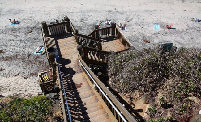
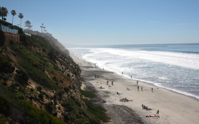
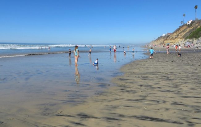
Photo Gallery


About Shelter in Encinitas, California
Shelter in Encinitas, California is in the restaurants, bars, and cafes category. The map below will show you where Shelter is located and also provide driving directions. For reservations, directions, or questions you can contact them at (760) 753-1366 or on their website. Below is a list of the nearest beaches to Shelter and other nearby attractions.
- Address
- 540 N Coast Highway 101
Encinitas, CA 92024 - Phone
- (760) 753-1366
- Website
- Visit website
- Social media
- Tripadvisor Foursquare

Nearby Beaches
D Street Beach
0.2 miles away
D Street Beach is one block south of Moonlight State Beach in Encinitas, CA. As the name suggests the...
Boneyard Beach
0.3 miles away
Boneyard Beach is located below a very steep cliff between Swami’s Beach and D Street Beach in Encinitas, CA. Boneyards...
Moonlight State Beach
0.3 miles away
Moonlight State Beach is a California state park that is operated by the city of Encinitas. It’s a popular...
Nearby Attractions

San Diego Botanic Gardens
0.8 miles away
The San Diego Botanical Gardens are located 20 minutes north of San Diego in Encinitas. It features over 35 acres...
Nearby Lodging

Best Western Encinitas Inn & Suites at Moonlight Beach
0.2 miles away
There’s something magical about Encinitas. It is located not far from one of California’s largest cities, yet it retains...
Moonlight Beach Motel
0.2 miles away
Right off historic Highway 101 and steps from the sand, guests of the Moonlight Beach Motel enjoy surfing, volleyball...