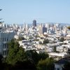
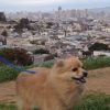
Corona Heights Park
Photo Gallery
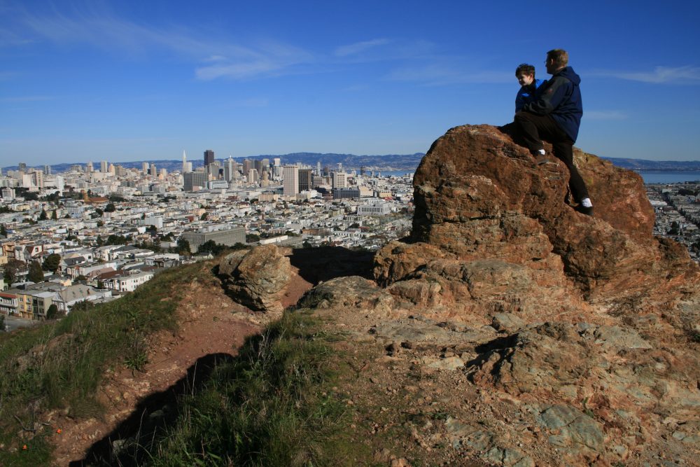
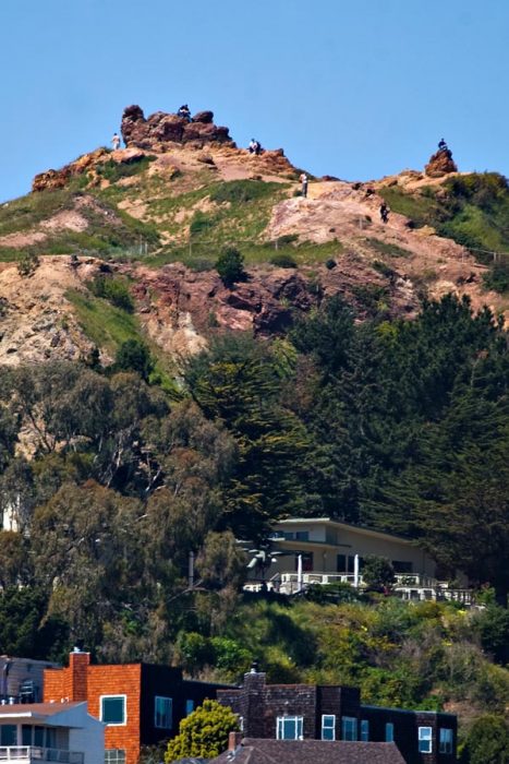
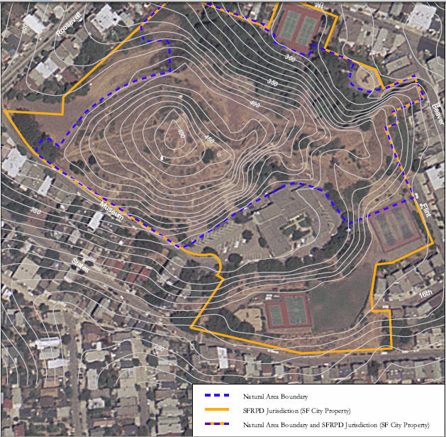


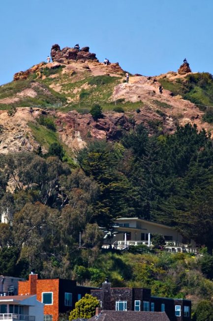
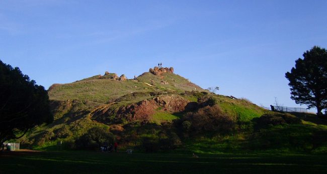

About Corona Heights Park in San Francisco, California
Corona Heights Park in the San Francisco area is one of the many attractions, parks, and things to do in California. The map below will show you where Corona Heights Park is located and also provide driving directions. For more information, contact them at 415-831-2750 or on their website. Below is a list of the nearest beaches to Corona Heights Park and other nearby attractions.
- Address
- Roosevelt Way & Museum Way
San Francisco, CA 94114 - Phone
- 415-831-2750
- Website
- Visit website

Nearby Beaches
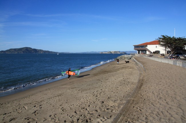
Crissy Field - East Beach
2.5 miles away
East Beach in San Francisco is located at the east end of Crissy Field Park in the old Presidio...
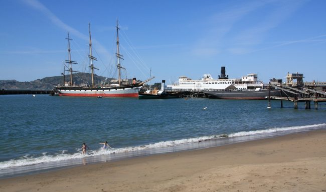
Aquatic Park Cove
2.6 miles away
Aquatic Park Cove has a narrow sandy beach and a grass park at the end of the Hyde Street...
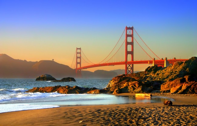
Baker Beach
2.7 miles away
Baker Beach is a large popular beach not far from the Golden Gate Bridge in San Francisco. There’s enough...
Nearby Attractions
Nearby Lodging
Reviews
There are no reviews yet. Be the first one to write one.