Morro Bay State Park
Photo Gallery
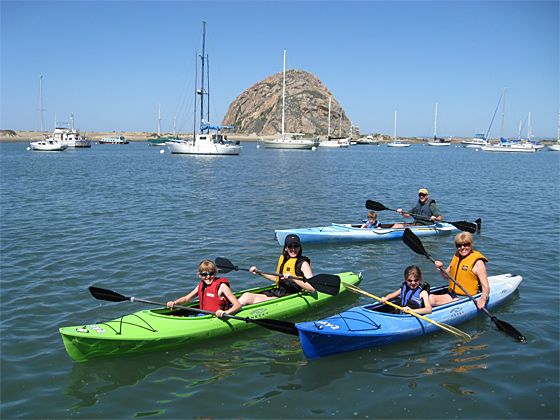

About Morro Bay State Park in Morro Bay, California
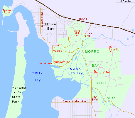
Morro Bay State Park in the Los Osos area is one of the many attractions, parks, and things to do in California. The map below will show you where Morro Bay State Park is located and also provide driving directions. For more information, contact them at (805) 772-2560 or on their website. Below is a list of the nearest beaches to Morro Bay State Park and other nearby attractions.
- Address
- 60 State Park Rd
Morro Bay, CA 93442 - Phone
- (805) 772-2560
- Website
- Visit website

Nearby Beaches
Morro Bay State Park
0.3 miles away
Morro Bay State Park is well-known for its hiking and mountain biking trails, but there are other reasons to...
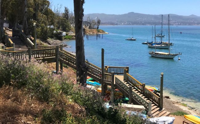
Bayshore Bluffs Park
0.3 miles away
Bayshore Bluffs Park is a small park on the shores of Morro Bay in Morro Bay, CA. There is...
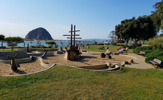
Tidelands Park
0.6 miles away
Tidelands Park is a small grass park on Morro Bay that’s popular with families. There is no beach here...
Nearby Attractions

Morro Bay Golf Course
0.1 miles away
The Morro Bay Golf Course is an 18-hole public course with a picturesque layout located in Morro Bay State...
Nearby Lodging

Inn At Morro Bay
0.2 miles away
Inn at Morro Bay is located at the base of a hill overlooking the Pacific Ocean and Morro Rock....
Reviews
There are no reviews yet. Be the first one to write one.