Duncans Landing
Photo Gallery


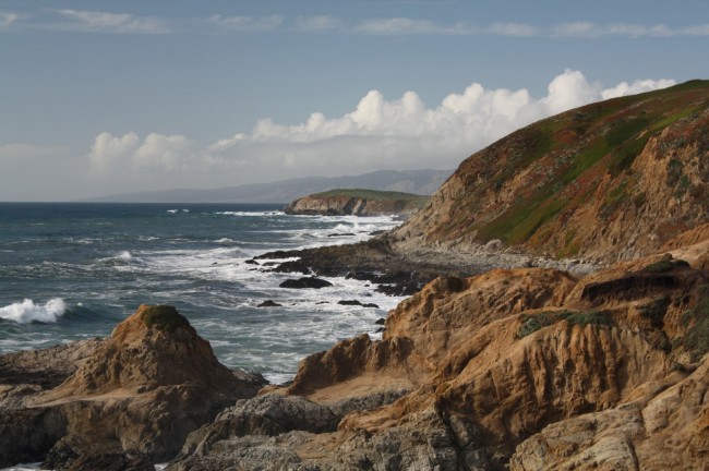
About Duncans Landing in Bodega Bay, California
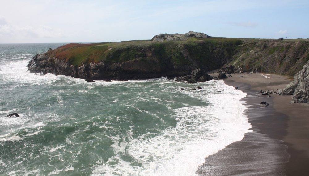
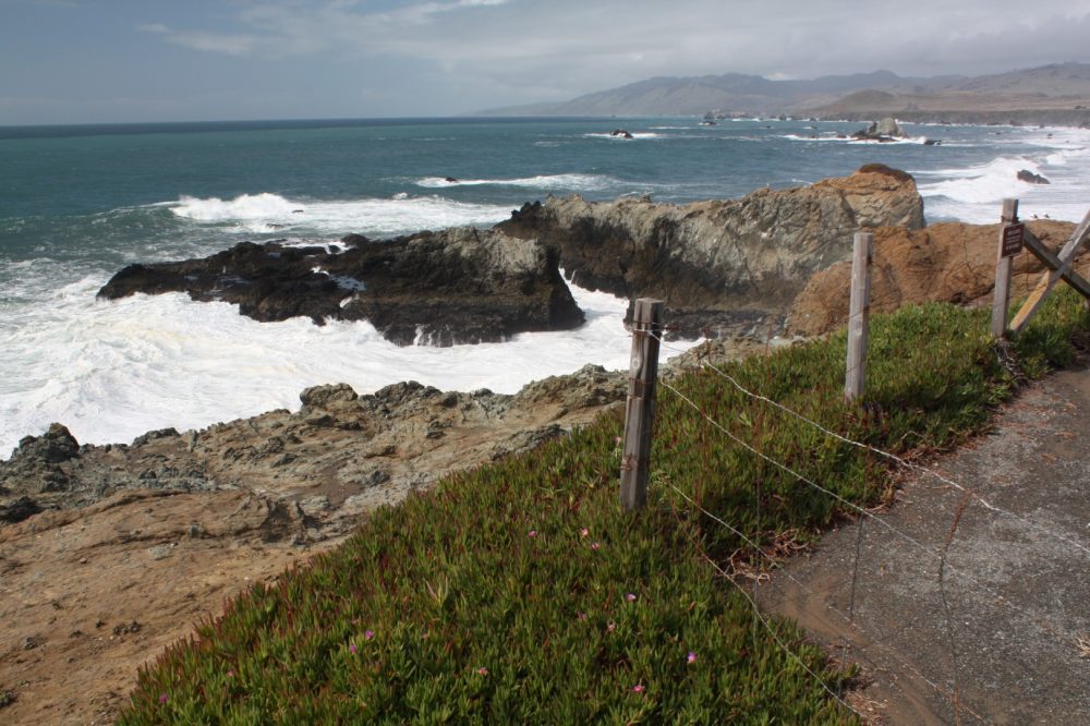
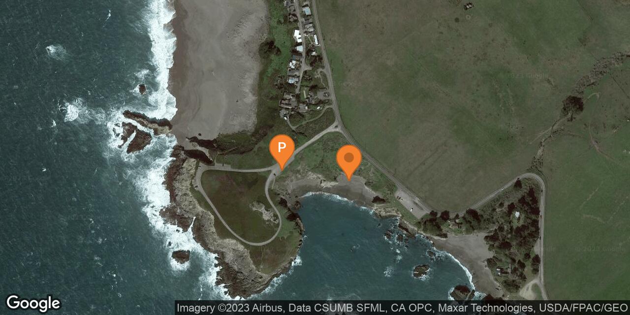
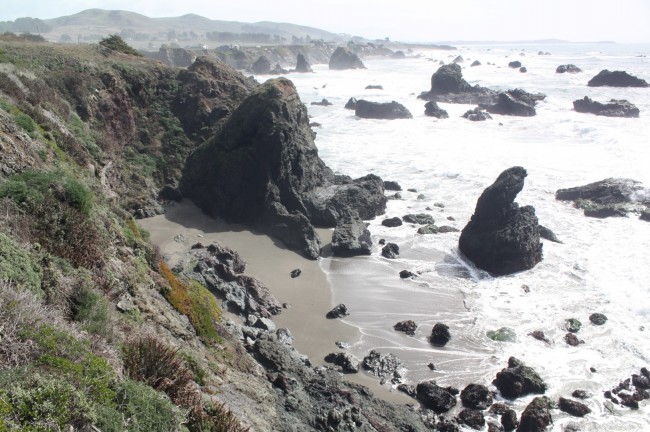
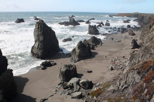
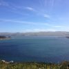
Duncan’s Landing is located about half-way between Bodega Bay and Jenner along the Sonoma County coastline. The landing has many names associated with it including Duncans Cove, Duncans Point, Duncans Landing, and even “Death Rock” a name earned for the powerful waves that crash onto the point and have swept people off to their deaths.
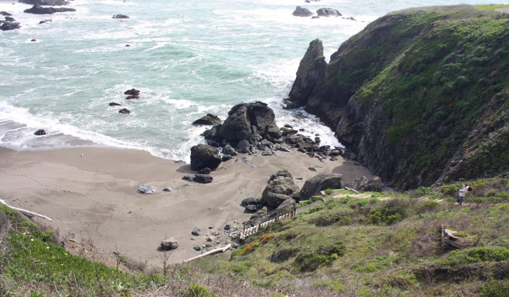
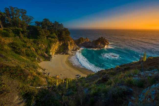
The beach in Duncans Cove is just south of the landing and is somewhat protected by it, but the cold water will be enough to keep you from swimming here.
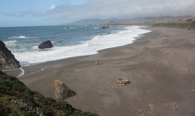
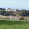
The large sandy beach on the north side of Duncans Landing is Wright’s Beach. To get down to the beach in Duncans Cove requires a hike down a steep trail from the parking area on the landing or another parking lot along Highway 1 just south of the landing entrance. This area is part of Sonoma Coast State Park.
- Address
- 6947 Cliff Ave
Bodega Bay, CA 94923 - Park Name
- Sonoma Coast State Park
- Other Names
- Duncans Cove, Duncans Point, Death Rock
- Owner
- State Park
- Pet Details
- No dogs allowed on the beach
- Activities
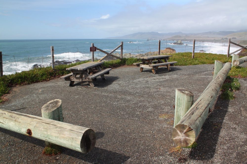
- Picnicking, Beach Exploration, Photography
- Amenities
- Picnic Tables
 51°F
51°FNearby Beaches
Rock Point Beach
0.2 miles away
Rock Point Beach is a tiny sandy spot amongst huge rocks just south of Duncan’s Landing along the Sonoma...
Wrights Beach
0.3 miles away
Wrights Beach is the largest sandy beach between Bodega Bay and the Russian River in Sonoma County. It’s a...
Gleason Beach
0.4 miles away
Gleason is a narrow rocky beach south of Duncans Landing along the Sonoma County coast. There is a steep...
Nearby Attractions

Nearby Lodging
Chanslor Guest Ranch
3.3 miles away
Set on a 378-acre site near Bodega Bay, this ranch and wildlife preserve is surrounded by 10,000 acres of...
Jenner Inn & Cottages
3.4 miles away
The Jenner Inn offers an ideal setting along the Sonoma Coast, filled with natural beauty and plentiful outdoor recreation....

Related Maps
Reviews
There are no reviews yet. Be the first one to write one.