The Forest of Nisene Marks State Park
Photo Gallery
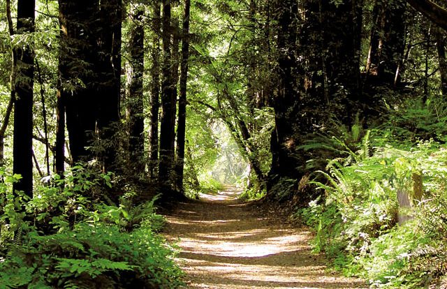
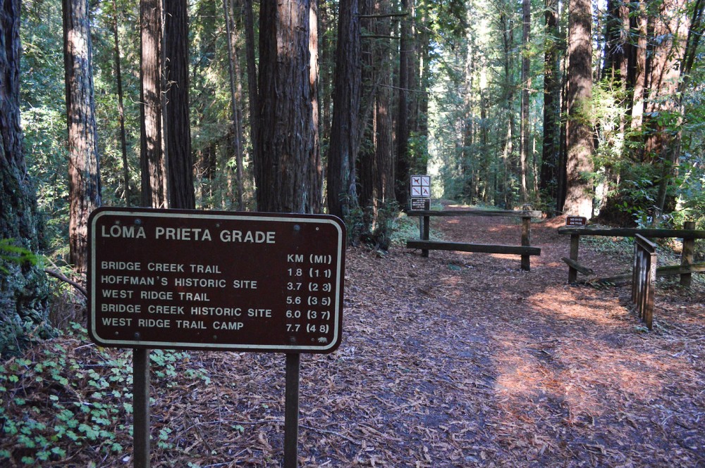
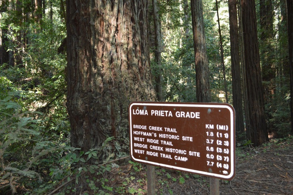


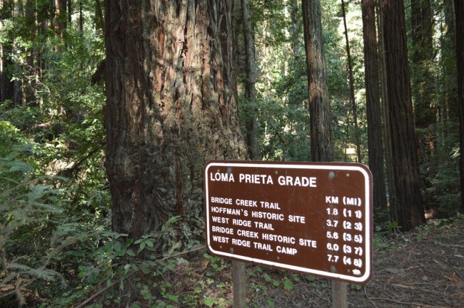
About The Forest of Nisene Marks State Park in Aptos, California
The Forest of Nisene Marks State Park in the Aptos area is one of the many attractions, parks, and things to do in California. The map below will show you where The Forest of Nisene Marks State Park is located and also provide driving directions. For more information, contact them at (831) 763-7063 or on their website. Below is a list of the nearest beaches to The Forest of Nisene Marks State Park and other nearby attractions.
- Address
- Split Stuff Trail
Aptos, CA 95003 - Phone
- (831) 763-7063
- Website
- Visit website

Nearby Beaches
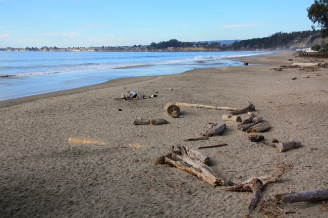
Seacliff State Beach
0.9 miles away
Seacliff State Beach is a long sandy beach on the waterfront of Aptos, California. This is a great place...
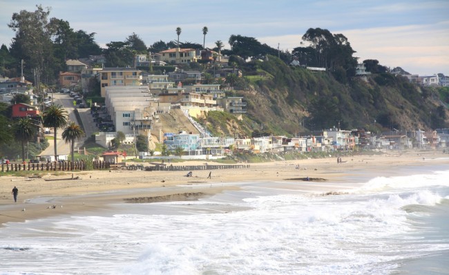
Rio Del Mar Beach
1.1 miles away
Rio Del Mar Beach is the main beach in the community of Rio Del Mar in Aptos, California. It...
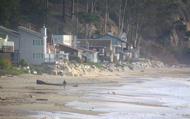
Pot Belly Beach
1.3 miles away
Pot Belly Beach is a public beach in front of a private community and beach club in Aptos. The...
Nearby Attractions

Nearby Lodging

Reviews
There are no reviews yet. Be the first one to write one.