Monterey State Historic Park
Photo Gallery


About Monterey State Historic Park in Monterey, California
Monterey State Historic Park in the Monterey area is one of the many attractions, parks, and things to do in California. The map below will show you where Monterey State Historic Park is located and also provide driving directions. For more information, contact them at (831) 649-7118 or on their website. Below is a list of the nearest beaches to Monterey State Historic Park and other nearby attractions.
- Address
- 20 Custom House Plaza
Monterey, CA 93940 - Phone
- (831) 649-7118
- Website
- Visit website

Nearby Beaches
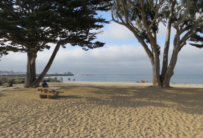
Monterey Municipal Beach
0.3 miles away
Municipal Beach is the name given to the city-owned beach adjacent to the Municipal Fisherman’s Wharf 2 Pier in...
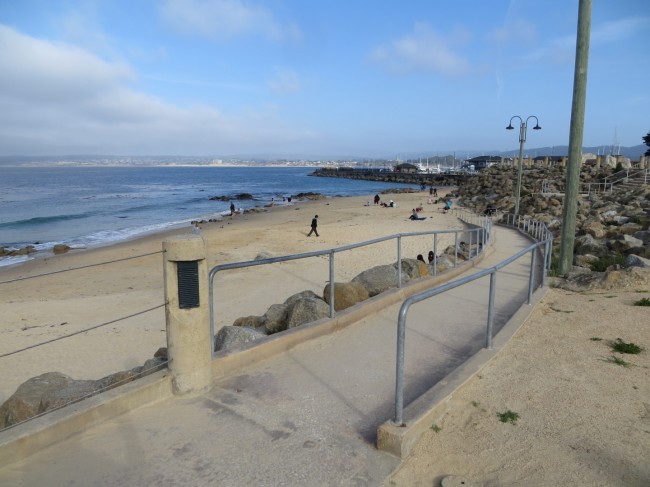
San Carlos Beach
0.5 miles away
San Carlos Beach is located in Monterey at the west end of Cannery Row next to the Coast Guard...
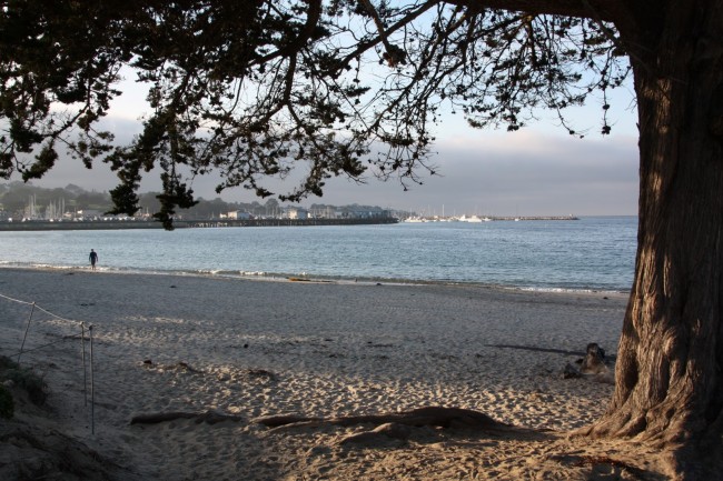
Window on the Bay Beach
0.5 miles away
Window on the Bay Beach (aka Windows Beach) is the southernmost of three separate sections of Monterey State Beach....
Nearby Attractions
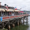
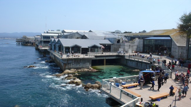
Fisherman's Wharf
0.1 miles away
Fisherman’s Wharf is actually two wharves on the waterfront in Monterey California. The Old Fisherman’s Wharf (sometimes referred to...

Nearby Lodging


Portola Hotel & Spa
0.1 miles away
The elegant Portola Hotel & Inn sits on spectacular Monterey Bay, with waterfront views close to some of Central...
Reviews
There are no reviews yet. Be the first one to write one.