Mount Tamalpais State Park
Photo Gallery
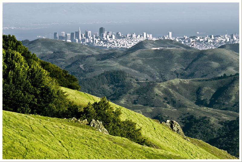
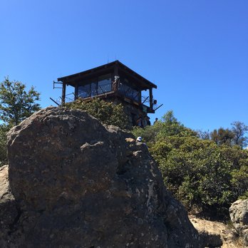
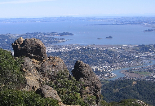
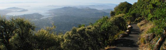

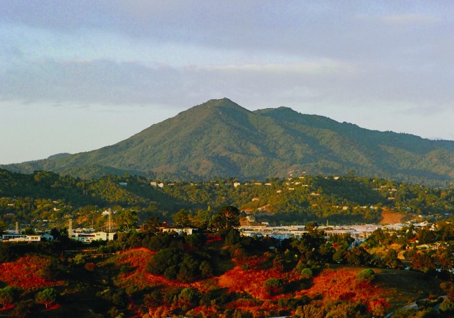
About Mount Tamalpais State Park in Mill Valley, California
Mount Tamalpais State Park in the Bolinas area is one of the many attractions, parks, and things to do in California. The map below will show you where Mount Tamalpais State Park is located and also provide driving directions. For more information, contact them at (415) 388-2070 or on their website. Below is a list of the nearest beaches to Mount Tamalpais State Park and other nearby attractions.
- Address
- 801 Panoramic Highway
Mill Valley, CA 94941 - Phone
- (415) 388-2070
- Website
- Visit website

Nearby Beaches
Red Rock Beach
1.9 miles away
Red Rock Beach is a clothing-optional beach just south of Stinson Beach, California. The access trail is steep so...
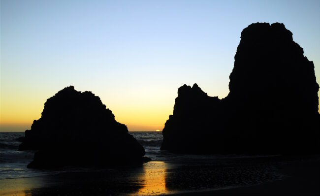
Steep Ravine Beach
1.9 miles away
Steep Ravine Beach is a small secluded beach at the bottom of a steep canyon below Highway 1 south...
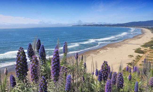
Stinson Beach
2 miles away
Stinson Beach (the beach) is a large public beach within Golden Gate National Recreation Area located in the town...
Nearby Attractions

Muir Woods National Monument
1.4 miles away
Muir Woods National Monument is a unique pocket of unmolested old-growth trees on the southern slopes of Mt. Tamalpais...

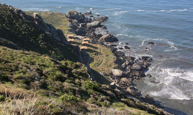
Steep Ravine Hot Springs
1.9 miles away
Steep Ravine Hot Springs is a beach hot spring that seeps up into the sand at Steep Ravine Beach...
Nearby Lodging
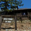
West Point Inn
0.6 miles away
West Point Inn is a backcountry hotel on Mount Tam. It was once a stop on the Mount Tamalpais...

Reviews
There are no reviews yet. Be the first one to write one.