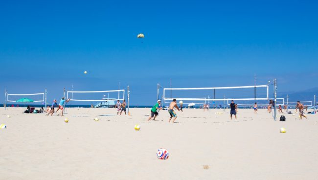
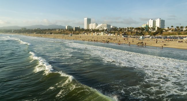
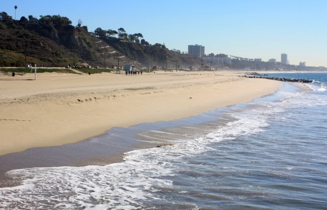
Palisades Park
Photo Gallery
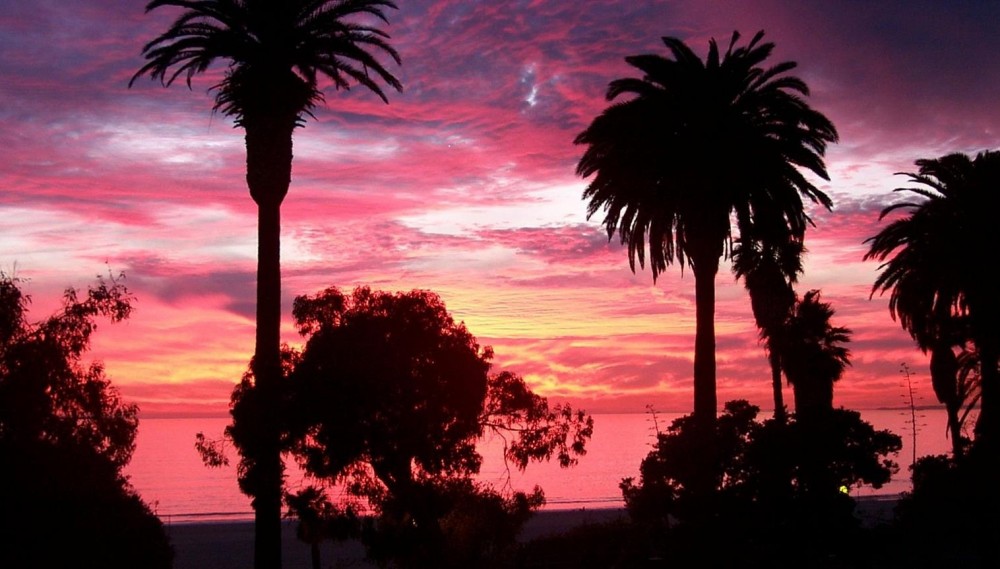
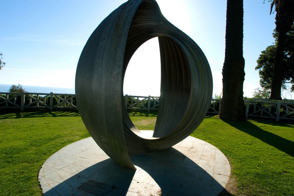
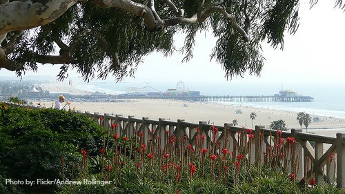
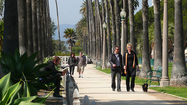
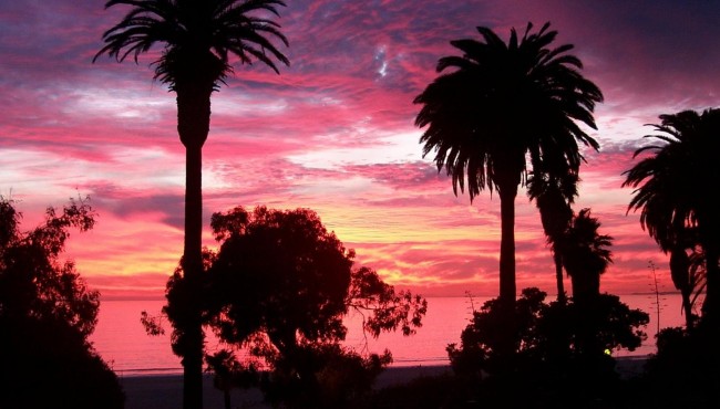

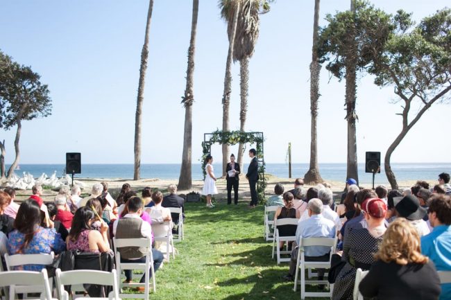
About Palisades Park in Santa Monica, California
Palisades Park in the Santa Monica area is one of the many attractions, parks, and things to do in California. The map below will show you where Palisades Park is located and also provide driving directions. For more information, contact them at 310-458-8300 or on their website. Below is a list of the nearest beaches to Palisades Park and other nearby attractions.
- Address
- Ocean Ave and Palisades Ave
Santa Monica, CA 90401 - Phone
- 310-458-8300
- Website
- Visit website

Nearby Beaches
Sorrento Beach
0.2 miles away
Sorrento Beach is the northernmost beach in Santa Monica State Beach yet just one mile from the Santa Monica...
Santa Monica State Beach – North Beach
0.8 miles away
The north part of Santa Monica State Beach is a wide sandy beach that runs north from the Santa...
Will Rogers State Beach
1.7 miles away
Will Rogers State Beach is a state park operated by Los Angeles County that occupies the entire waterfront of...
Nearby Attractions
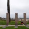
Santa Monica Veterans Memorial
0.7 miles away
Five pillars cast unique shadows every day at this California veterans memorial, but on the most special day of...
Nearby Lodging
Related Articles
Reviews
Excellent overview of all the areas, thank you……