Sawyer Camp Trail
Photo Gallery
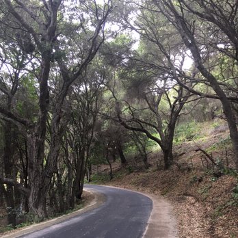
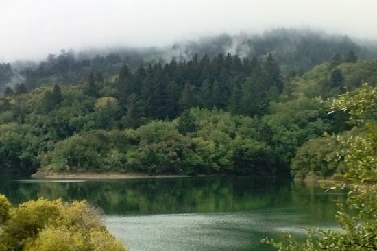
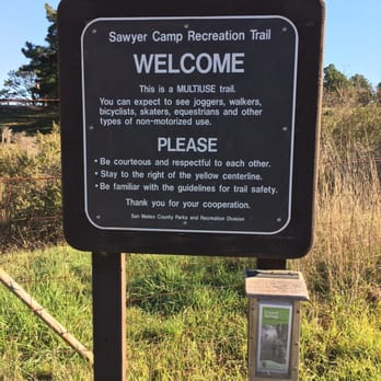
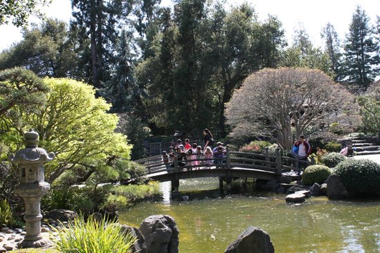
About Sawyer Camp Trail in San Mateo, California
Sawyer Camp Trail in the San Mateo area is one of the many attractions, parks, and things to do in California. The map below will show you where Sawyer Camp Trail is located and also provide driving directions. For more information, contact them at (650) 363-4021 or on their website. Below is a list of the nearest beaches to Sawyer Camp Trail and other nearby attractions.
- Address
- Skyline Blvd & Crystal Springs Rd
San Mateo, CA 94401 - Phone
- (650) 363-4021
- Website
- Visit website

Nearby Beaches
Coyote Point Beach
4 miles away
The Coyote Point Park and Recreation Area is located on a point in San Francisco Bay about half-way between...
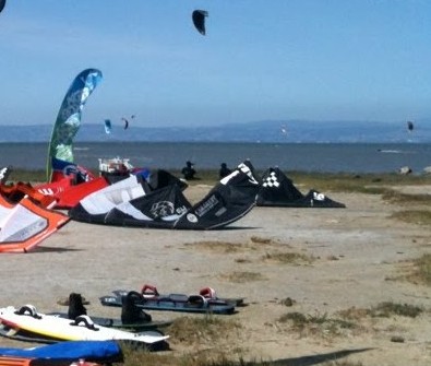
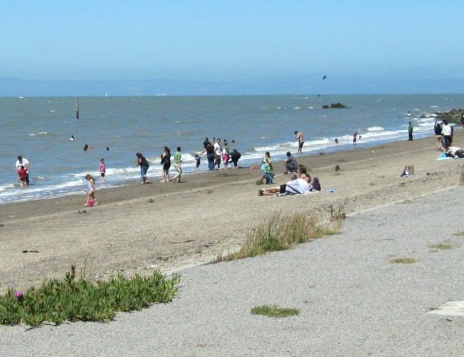
3rd Ave Beach
4.7 miles away
There is a small sandy beach on San Francisco Bay at 3rd Ave, but it’s the wind that draws...
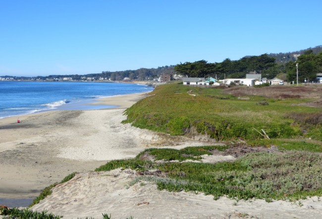
Roosevelt Beach at Half Moon Bay State Beach
5 miles away
Roosevelt Beach, a.k.a. Naples Beach is the northernmost beach in Half Moon Bay State Beach. The signed Roosevelt Beach parking...
Nearby Attractions


Nearby Lodging


Reviews
There are no reviews yet. Be the first one to write one.