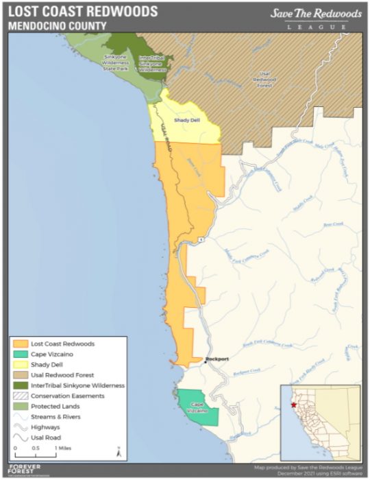
Lost Coast Redwoods Property
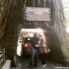
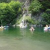
Photo Gallery

About Lost Coast Redwoods Property in Westport, California
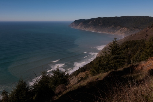
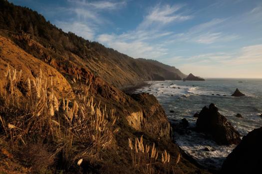
Five miles of the Northern California Coast are now part of a property called Lost Coast Redwoods. This prime piece of Mendocino County is located between Usal Beach in Sinkyone Wilderness State Park and Rockport Bay Beach (still privately owned). It also includes most of the Usal Road that leads to Usal Beach Campground.
This 3181-acre land transfer was made possible by Save the Redwoods League, a California based non-profit, that raised funds in the tens of millions to purchase it from a timber company and protect it from future logging and development. Soper Company, the previous owner, was already practicing sustainable forestry so it was an important property to save from other buyers with aggressive logging in mind.
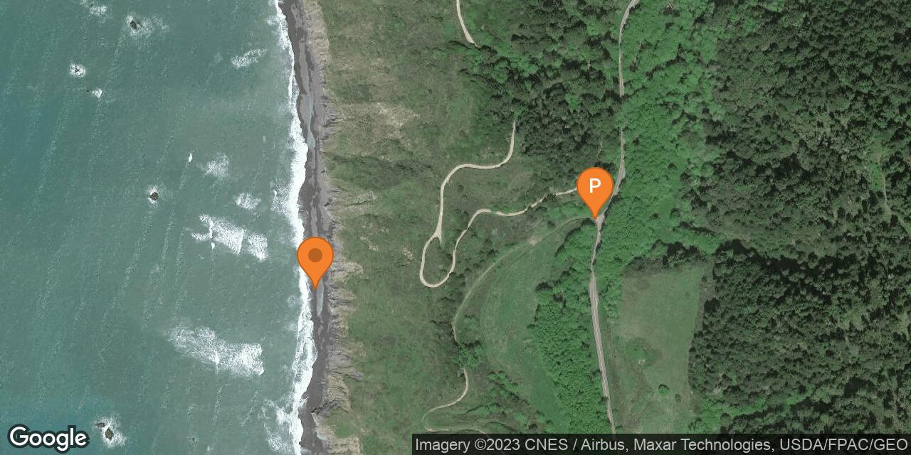
The land is mostly older second growth forests made up of California coastal redwoods, Douglas-fir, and grand fir trees. Many streams flow through the property including Dunn Creek and Cottaneva Creek which ends at Rockport Beach south of the property. The beaches along this five-mile stretch are hard to get to from the property due to steep cliffs so it’s unclear if beach access will ever happen.
So what is the future of the Lost Coast Redwoods property? We’ve read that public access is forthcoming although it might take a while. This will probably include some excellent hiking and wildlife watching. This property has deer, Roosevelt elk, and other species to spot when exploring. What’s even more exciting is that through three large and almost contiguous properties (this one plus Shady Dell and Cape Vizcaino) it’s possible that The Lost Coast Trail could be extended another ten miles or so. All of this is TBD.
Save the Redwoods League intends to protect fish habitat in streams on the property and other animal habitats that otherwise would have been impacted by future heavy logging. They also will also restore the property through an ecologically-minded forest management plan that should minimize the chances of severe wildfires in the future.
The waters offshore from this property are protected by Double Cone Rock State Marine Conservation Area (a California MPA).
- Address
- Shoreline Hwy & Usal Rd
Westport, CA 95488 - Phone
- 888-836-0005
- Park Name
- Double Cone Rock State Marine Conservation Area
- Other Names
- DeVilbiss Ranch
- Owner
- Non-Profit
- Fees
- Free to drive Usal Road
- Activities
- Hiking (future), Wildlife Watching
- Amenities
- Old Growth Trees, Creeks, Trails

Nearby Attractions

Nearby Lodging
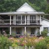
Howard Creek Ranch Inn Bed & Breakfast
6.4 miles away
Surrounded by mile upon mile of beach and mountainous terrain, the Howard Creek Ranch Inn near Westport celebrates its...
Reviews
There are no reviews yet. Be the first one to write one.