High Bluff Beach
Photo Gallery


About High Bluff Beach in Klamath, California
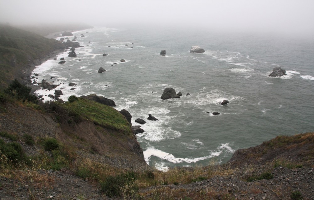
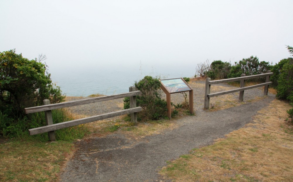
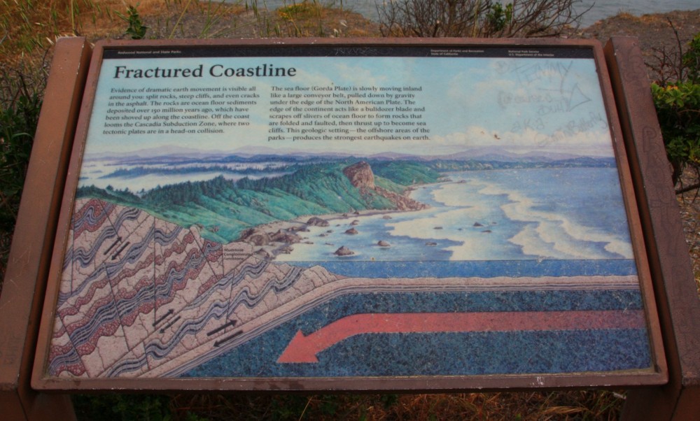
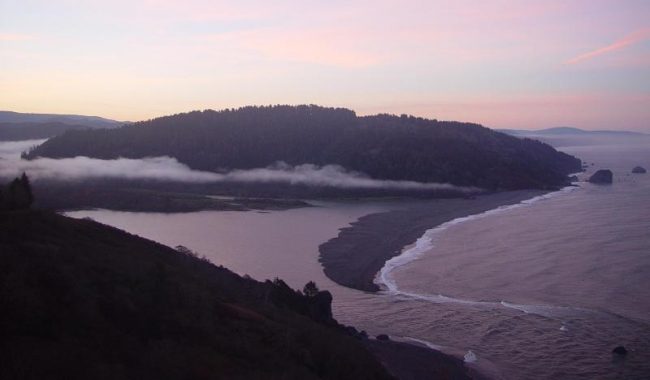
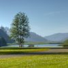
High Bluff Overlook is an ocean vista and picnic area in Redwood National Park south of the Klamath River. The beach at this location is difficult to access and there is little sand exposed here except at lower tides. However, the viewpoints from the park include the beach and White Rock just offshore. It’s a quiet place that’s worth exploring even without the challenging trek down to the shore.
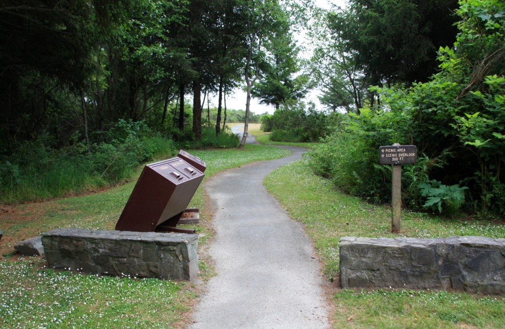
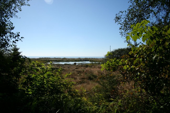
At the overlook, find a trail heading north that winds through the forest toward the beach. This trail leads to a rock quarry with a view to the beach. From there the trail is extremely overgrown and hiking it is not advised although we’ve seen people do it.
Want to see an historic World War II bunker disguised as a barn? Radar Station B-71 bunker is about a mile north along the road from High Bluff Overlook. A short trail descends to this structure and an informative sign explains its significance.
Flint Ridge Campground is located north of the bunker (it’s a 1/4-mile walk inland from parking spaces to the camp).
To get to High Bluff Overlook leave Highway 101 on Exit 768 (signed Klamath Beach Road) just south of the Klamath River Bridge and head west. Then turn left on Alder Camp Road and drive for two miles then turn right onto North Coastal Road (the other way dead ends quickly). High Bluff Overlook is just north of this intersection. Alder Camp Road and Coastal Road are part of Coastal Drive Scenic Loop. Note that RVs and trailers are prohibited on Alder Camp Road.
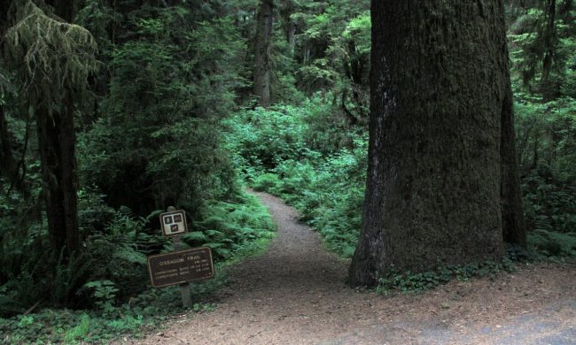
The California Coastal Trail turns inland at Flint Ridge if you are looking for a hike. The old closed section of Coastal Drive just south of High Bluff Overlook makes a nice walk or bike ride.
.
- Address
- Coastal Dr
Klamath, CA 95548 - Phone
- 707-464-6101
- Park Name
- Redwood National Park
- Other Names
- High Bluff Quarry, White Rock, Flint Rock Head
- Owner
- National Park
- Pet Details
- Dogs allowed in the park, but not on the trails or beach
- Fees
- Free parking
- Activities
- Whale Watching, Hiking, Wildlife Watching, Beach Exploration, Camping (nearby)
- Amenities
- Restrooms, Picnic Tables, Viewpoint, Historic WWII Station, Trails, Campground, Interpretive Signs, Accessible Features
 51°F
51°FNearby Beaches
Klamath Beach
1.3 miles away
Klamath Beach is on a huge sand spit on the south side of the Klamath River mouth in Del...
Carruthers Cove Beach
3 miles away
Carruthers Cove is the northernmost beach in Prairie Creek Redwoods State Park and in all of Humboldt County. This...
Ossagon Creek Trail & Beach
4.5 miles away
Ossagon Creek Beach is the northernmost beach in the Gold Bluffs Area near Orick, CA. It’s remote place with...
Nearby Attractions
Nearby Lodging
Reviews
The trail to this beach has become overgrown and its almost impossible to get down to the shore. If you walk north and down to the left (and don’t try to get to the beach) the views of the waves and rocks are nice.