Bridge to Nowhere
Photo Gallery
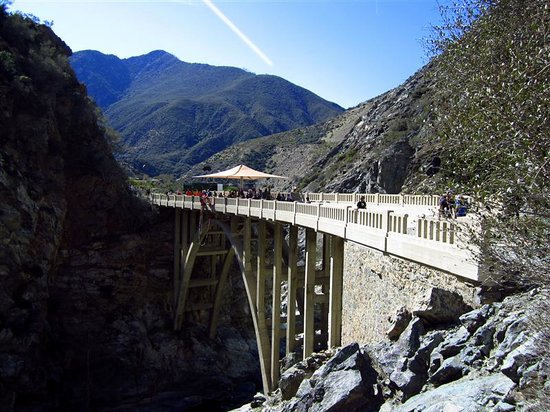
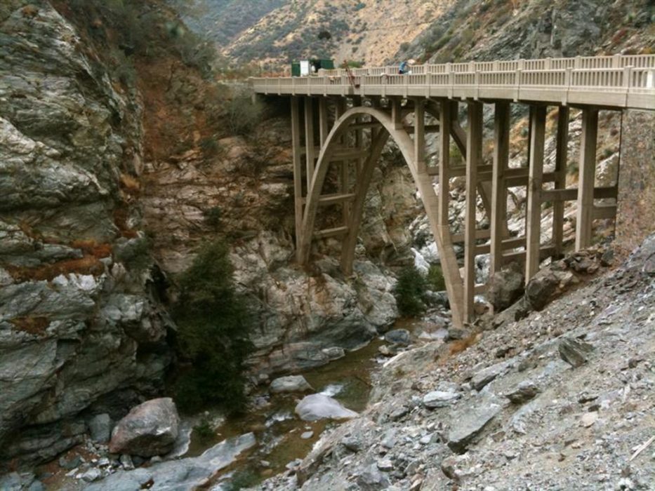
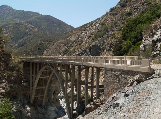
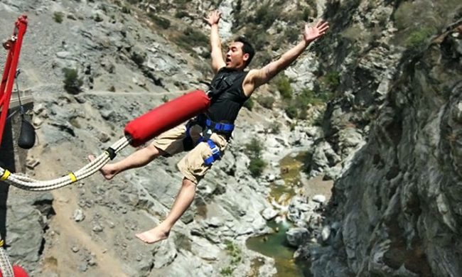

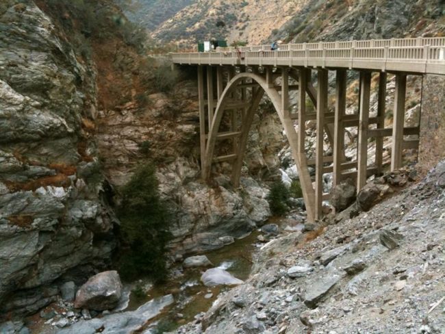
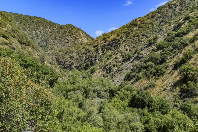
About Bridge to Nowhere in La Verne, California
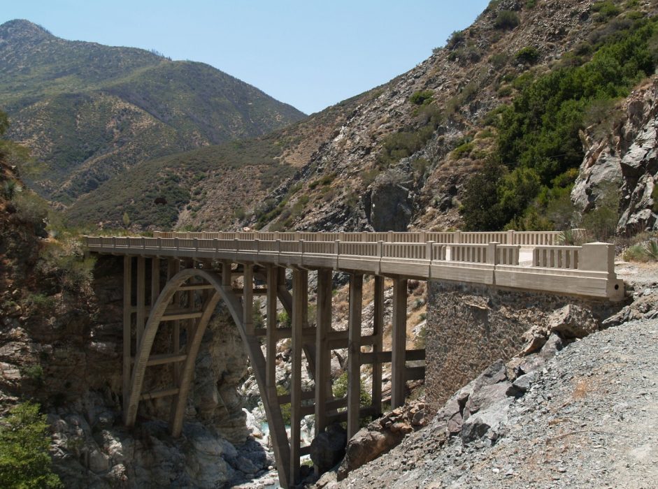
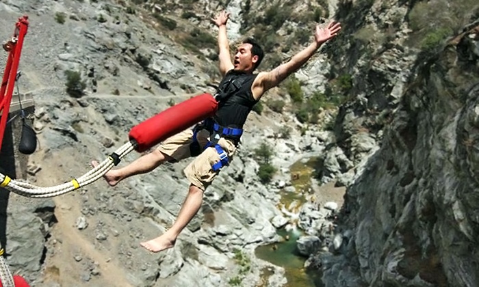
Discover an old concrete arch bridge that was never put into use. Soon after it was completed in 1936 the hillsides where the highway was planned to go washed out in a huge flood of the San Gabriel River. It is quite a sight to see and hard to fathom that all the time and money that was put into this bridge wound up worthless, except that we got a wonderful hike out of the deal. This rugged remote trail is popular for hiking and for bungee jumping. Although this hike is popular, it’s not for the faint of heart. The route involves scrambling on rocks and crossing the river several times in an area where flash floods have killed hikers in the past. The trail begins at the end of the Camp Bonita Road in Angeles National Forest north of Azuza. See our map of the hike to the Bridge to Nowhere.
- Address
- Camp Bonita Rd
La Verne, CA 91750 - Website
- Visit website
 70°F
70°FNearby Beaches
Colorado Lagoon Park
36.3 miles away
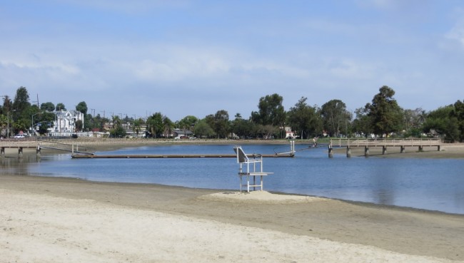
Colorado Lagoon Park in Long Beach has sandy beaches along two sides of the Colorado Lagoon shoreline. This is...
Marine Stadium Beach
36.5 miles away
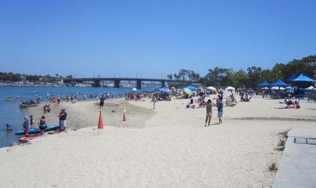
Marine Stadium in Long Beach, California has twice been the site of Olympic rowing competitions and annually is the...
Mothers Beach
36.6 miles away
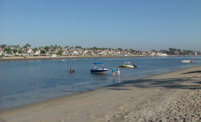
Mother’s Beach is in the Long Beach neighborhood of Naples on an island in the middle of Alamitos Bay....
Nearby Attractions
The Huntington Library, Art Collections, and Botanical Gardens
20.5 miles away
Tucked within the winding streets of Pasadena and South Pasadena is the wealthy community of San Marino, home to...
Nearby Lodging
Omni Los Angeles Hotel at California Plaza
28.6 miles away
The upscale Omni Los Angeles Hotel at California Plaza presents a large selection of sophisticated options in the heart...
The Westin Bonaventure Hotel & Suites
28.8 miles away
The towering Westin Bonaventure Hotel & Suites rises to new heights of luxury, right in the middle of downtown’s...
Reviews
There are no reviews yet. Be the first one to write one.

