Devil’s Slide Trail
Photo Gallery


About Devil's Slide Trail in Pacifica, California
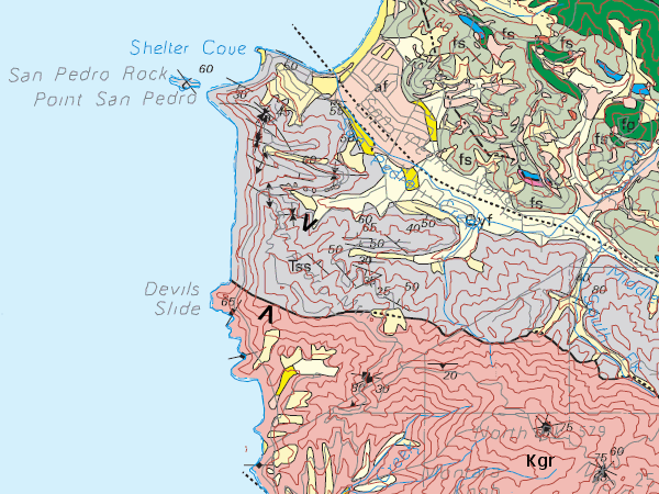
The Devils Slide Trail uses the old Highway 1 road along the stretch known as the Devil’s Slide. This section of the highway was eventually replaced with a double tunnel south of Pacifica to connect San Francisco to the Half Moon Bay area. The Devils Slide Trail is a wide paved path that meanders for 1.3 miles along a steep cliff face high above the ocean. It is a popular route for bikers, runners, and walkers. Benches are provided along the way for taking in the views or taking rests. Dogs are allowed along this path as long as they are on a leash. Trail users can learn about the area with interpretive signs along the route. There are parking lots at both ends of the trail, both on the west side of Highway 1 (Cabrillo Hwy), and each has restrooms and drinking water. The Devils Slide Trail is part of the California Coastal Trail. From the southern trailhead you’ll have a clear view of the Devils Slide Bunker.
- Address
- Cabrillo Highway
Pacifica, CA 94044 - Phone
- (650) 355-8289
- Website
- Visit website

Nearby Beaches

Gray Whale North Beach
0.3 miles away
Edun Beach is the local nickname for the north beach of Gray Whale Cove State Beach (Edun is the...

Gray Whale Cove State Beach
0.5 miles away
Gray Whale Cove State Beach is in an area of steep cliff erosion between Pacifica and Montara called the...

Point San Pedro Beach
1.3 miles away
Point San Pedro Beach is a remote rocky beach in Pacifica near San Francisco. This spot takes some effort...
Nearby Attractions

Devil's Slide Bunker
0.3 miles away
High above Gray Whale Cove State Beach there is a strange looking structure that has incredible views of the Pacific...
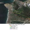
Pedro Point Headlands Trails
0.9 miles away
Pedro Point Headlands Park is on a high point above the city of Pacifica, Shelter Cove Beach, and San Pedro...
Nearby Lodging

Pacifica Beach Hotel
1.8 miles away
The intimate Pacifica Beach Hotel is just steps from the sand and shore, with around 50 guestrooms ideal for...


Reviews
There are no reviews yet. Be the first one to write one.