King Range National Conservation Area
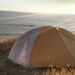
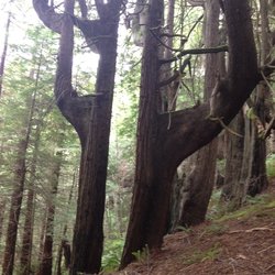
Photo Gallery

About King Range National Conservation Area in Whitethorn, California
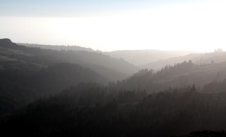
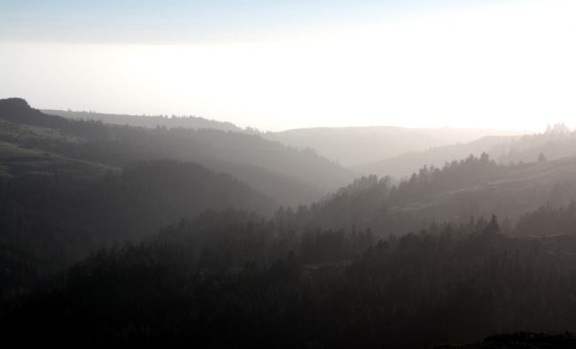
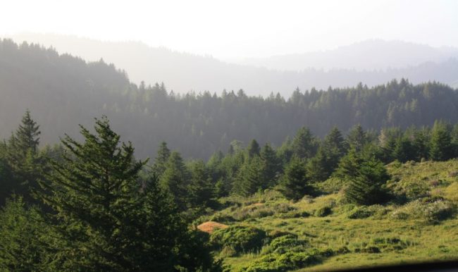
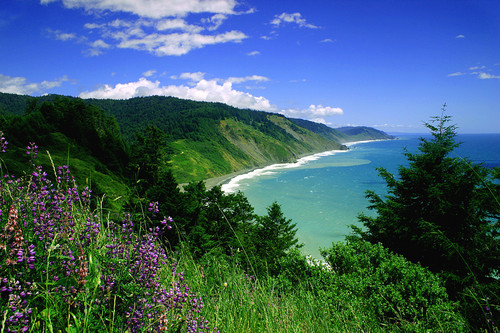
If you are looking to explore California’s Lost Coast but not willing to commit to the epic backpacking route, then King Range National Conservation Area is your ticket. Mountain roads, trails and campgrounds in rugged remote locations make this place worth the effort to get there.
This conservation area, the first in the US, is not close to any sizeable towns. It’s a long drive to get out to this part of the coast and you should have a sturdy rig if you want to drive the dirt roads in this range especially if they are wet – 4WD is strongly recommended.
The main north-south road that crosses these mountains is Kings Peak Road. It’s a dirt road that begins just east of the coastal town of Shelter Cove and follows a ridge top going north. It passes a mountain bike area called Paradise Royal and then continues north towards King Peak. Along the route it passes several hiking trailheads and two camping opportunities, Tolkan Campground and Horse Mountain Campground (both can be booked on ReserveCalifornia). Lightning Trailhead is where you want to start for a day trip to the King Peak summit (4088 feet and just 3 miles from the ocean). The Kings Peak Road eventually connects to Wilder Ridge Road a paved road that goes north to Mattole Road or south back to Shelter Cove Road (Briceland Road).
Permits and bear canisters are required for overnight backcountry trips. Details can be found on the BLM website.
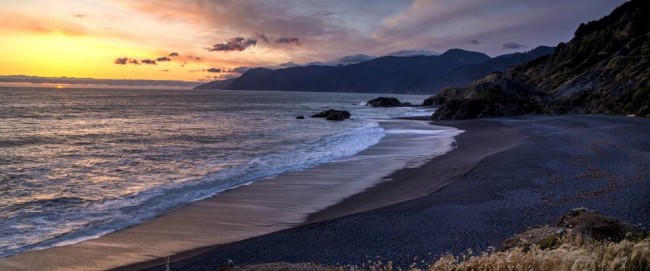
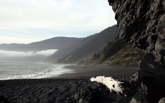
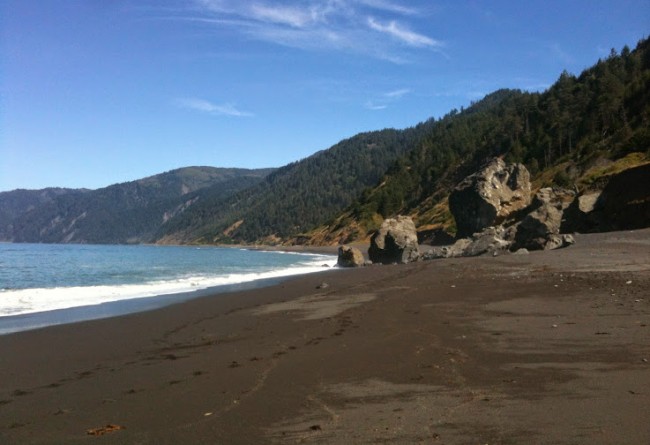
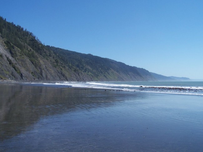
The two best beaches in King Range Conservation Area are Black Sands Beach in Shelter Cove and Mattole Beach which has a day hike on the shore to Punta Gorda Lighthouse.
- Address
- 768 Shelter Cove Road
Whitethorn, CA 95589 - Phone
- (707) 986-5400
- Website
- Visit website

Nearby Beaches
Black Sands Beach of Shelter Cove
1.6 miles away
Black Sands Beach is the south end of a long walkable coastline that is over 20 miles long between...
Little Black Sands Beach
2 miles away
Little Black Sands Beach is located at the north end of the small resort town of Shelter Cove. It’s...
Dead Man’s Beach
2.5 miles away
Dead Man’s Beach is a spring and fall surfing spot in the Humboldt County resort town of Shelter Cove....
Nearby Attractions
Shelter Cove Overlook
2.3 miles away
This is an unofficial overlook at the end of a residential road high above Shelter Cove. You can drive...
Nearby Lodging

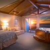
The Spyglass Inn
2.1 miles away
With four generous suites overlooking ocean views, the luxurious Spyglass Inn promotes spectacular scenery, tucked away along the remote...
Inn of the Lost Coast
2.2 miles away
With generous views overlooking Black Sands Beach, Inn of the Lost Coast invites guests with panoramic scenery and natural...
Reviews
There are no reviews yet. Be the first one to write one.