Mt. Davidson Park Trails and Viewpoint
Photo Gallery
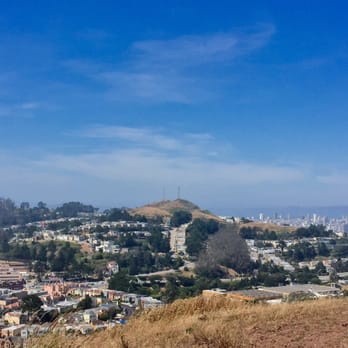
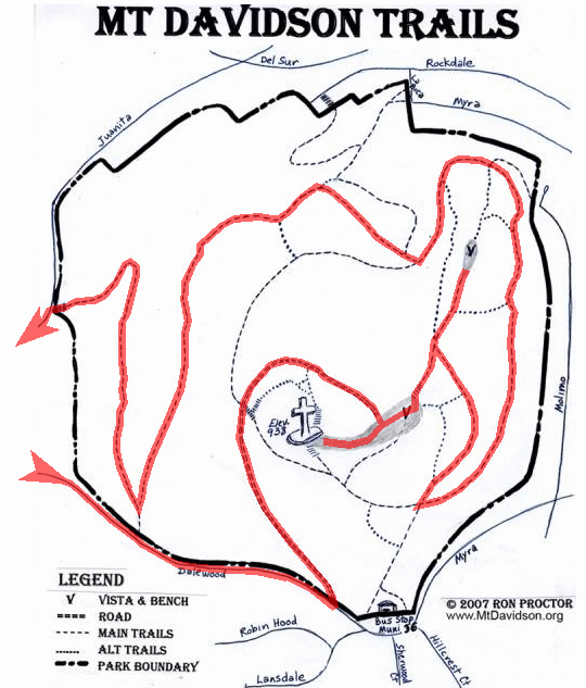
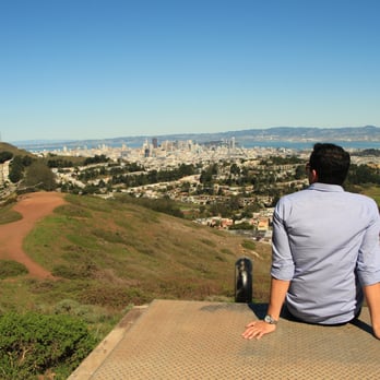
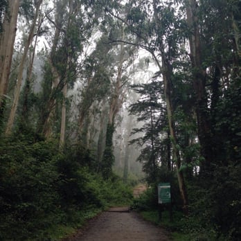
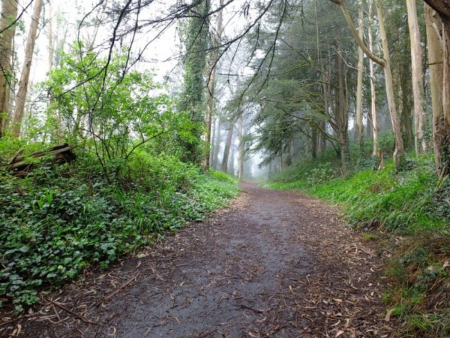
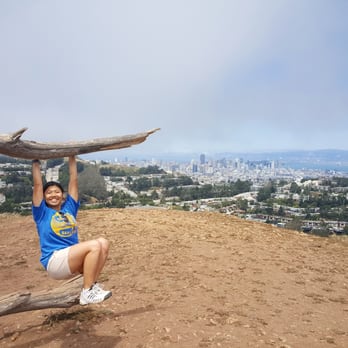
About Mt. Davidson Park Trails and Viewpoint in San Francisco, California
Mt. Davidson Park Trails and Viewpoint in the San Francisco area is one of the many attractions, parks, and things to do in California. The map below will show you where Mt. Davidson Park Trails and Viewpoint is located and also provide driving directions. For more information, contact them at 415-831-2750 or on their website. Below is a list of the nearest beaches to Mt. Davidson Park Trails and Viewpoint and other nearby attractions.
- Address
- Dalewood Way and Lansdale Ave
San Francisco, CA 94127 - Phone
- 415-831-2750
- Website
- Visit website

 53°F
53°FNearby Beaches
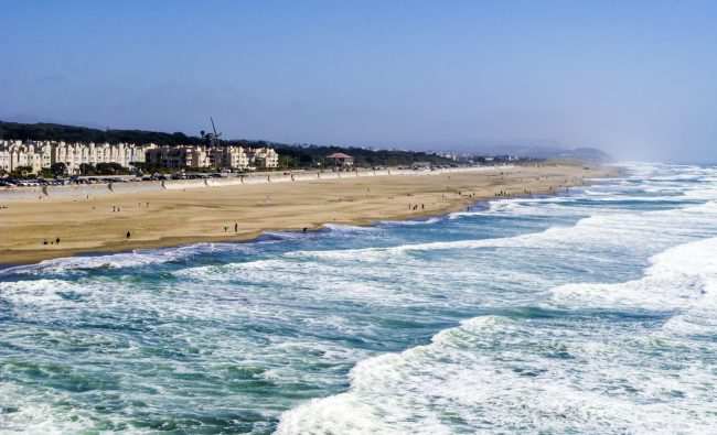
Ocean Beach
2.6 miles away
Ocean Beach is a large sandy beach spanning the entire Sunset District of San Francisco from Cliff House south...
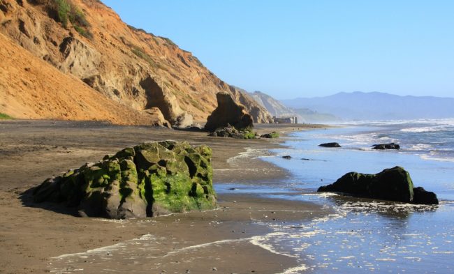
Fort Funston Beach
2.8 miles away
Fort Funston is the southernmost beach on the Pacific Coast side of San Francisco and is part of Golden...
Phillip Burton Memorial Beach
2.9 miles away
Phillip Burton Memorial Beach is the name of the beach between Thornton State Beach and Fort Funston Beach. Burton...
Nearby Attractions
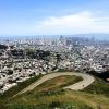
Twin Peaks Viewpoint
0.9 miles away
Twin Peaks as it’s name suggests is made up of two summits, and is one of the more popular...

Mount Sutro Open Space Reserve
1.2 miles away
Mount Sutro Open Space Reserve is a large wooded park near the center of San Francisco. It’s packed with...
Nearby Lodging


Reviews
There are no reviews yet. Be the first one to write one.