Six Flags Hurricane Harbor
Photo Gallery


About Six Flags Hurricane Harbor in Valencia, California
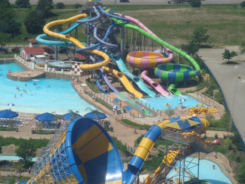
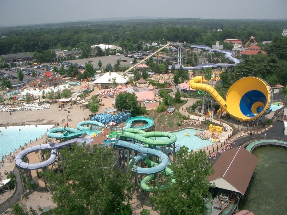
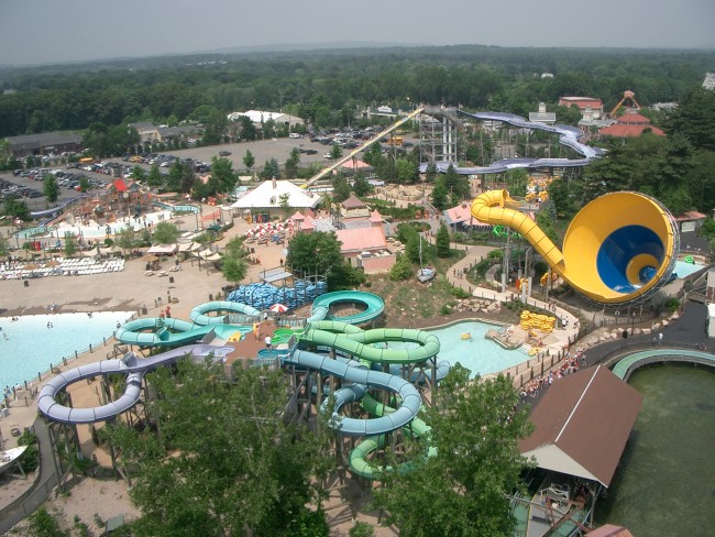
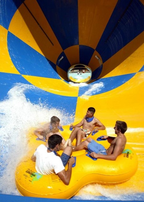
Six Flags Hurricane Harbor Los Angeles is a water park that promises a thrilling experience to visitors of all ages. Located just 30 minutes from downtown Los Angeles, this 25-acre park boasts a wide variety of water rides, slides, and attractions. Whether you’re looking for a relaxing day in the sun or an adrenaline-pumping adventure, Hurricane Harbor has something for everyone.
One of the park’s most popular attractions is the Tornado, a six-story funnel that sends riders spinning through the air before plunging them into a pool below. Other thrill rides include the Black Snake Summit, a six-story tower featuring four different slides, and the Bonzai Pipelines, where riders shoot down twisting slides at high speeds.
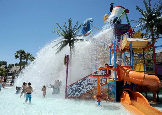
For those seeking a more relaxing experience, Hurricane Harbor also has a lazy river, wave pool, and several areas for children to play. Food and beverage options are plentiful throughout the park, and there are plenty of shaded areas to take a break from the sun. With its thrilling rides and refreshing water attractions, Hurricane Harbor Los Angeles is a must-visit destination for water park enthusiasts in Southern California.
Hurricane Harbor Los Angeles is located next to Six Flags Magic Mountain in Valencia, California. It’s just off Interstate-5 in the Santa Clarita area.
- Address
- 26101 Magic Mountain Pkwy
Valencia, CA 91355 - Phone
- (661) 255-4100
- Website
- Visit website

Nearby Beaches
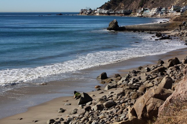
Las Tunas County Beach
23.2 miles away
Las Tunas County Beach is a rocky beach in eastern Malibu. The shoreline in this area is eroding away...
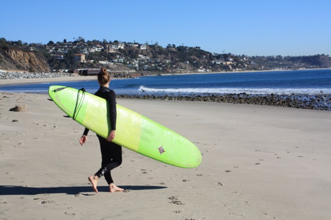
Topanga Beach
23.2 miles away
Topanga Beach is the closest Malibu California beach to Los Angeles. The Eastern Malibu coast faces south and Topanga...
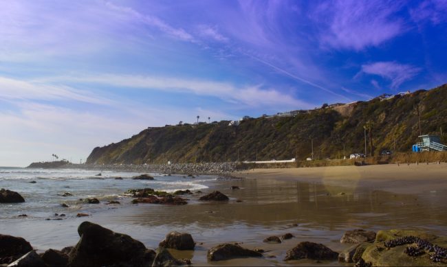
Sunset Point Beach
23.2 miles away
Sunset Point Beach, aka Sunset Beach, is located in the Pacific Palisades district of Los Angeles and is the...
Nearby Attractions
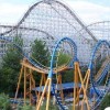
Six Flags Magic Mountain
0.1 miles away
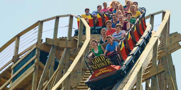
Six Flags Magic Mountain has the largest collection of XTREME roller coasters on the Planet! Known world wide as...
Nearby Lodging
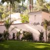
Hotel Bel-Air
21.6 miles away
The enchanting Hotel Bel-Air indulges guests with a tropical garden-like setting, just minutes from some of the biggest attractions...
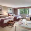
Luxe Sunset Boulevard Hotel
22.1 miles away
The stylish Luxe Sunset Boulevard presents a boutique hotel, surrounded by the enjoyment of Los Angeles. The Bel Air...
Related Articles
Reviews
There are no reviews yet. Be the first one to write one.