Solstice Canyon Hiking Trail
Photo Gallery


About Solstice Canyon Hiking Trail in Malibu, California
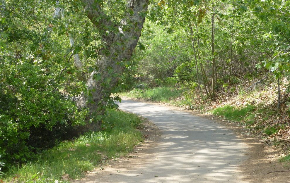
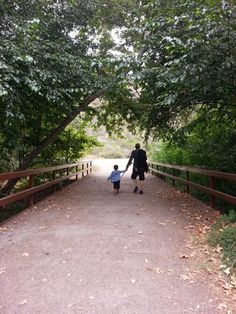
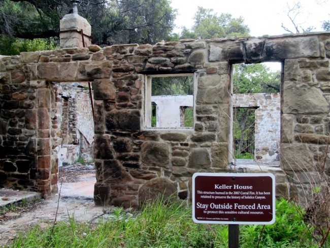
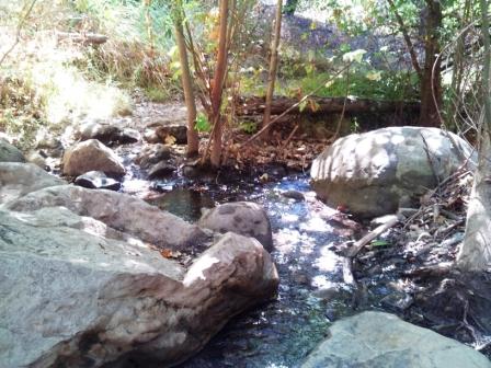
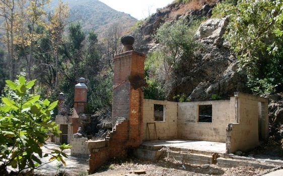
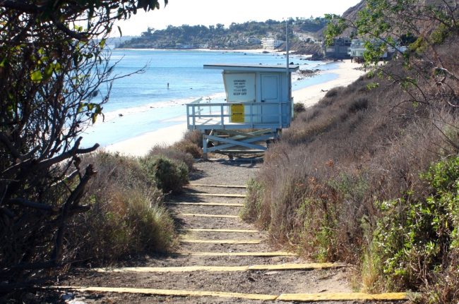
Hiking the Solstice Canyon Trail takes you up into the Santa Monica Mountains from Dan Blocker Beach (Corral Beach). This area of the mountains burned years ago taking two interesting Malibu homes with it. The ruins of those homes are both visited on this hike.
Solstice Canyon Trail follows a beautiful canyon and an old decommissioned road that used to be called the Roberts Road which ends at the Roberts House Ruins. Along the way is the Keller House Ruins on the right. The fire consumed everything that was flammable so there are just foundations and rock or brick walls and structures left.
While the hike up to the Roberts House is just a little over one mile, there are opportunities to go farther into the mountains. Just before the Robert House there is a trail on the left called the Sostomo Trail (also called the Roberts Trail on some maps) which ascends and connects to a loop called the Deer Valley Loop Trail. Just keep turning right on this trail to complete the loop – it’s a little confusing as it uses an old road for one segment. After doing the loop you will return on the Sostomo Trail to the Roberts House.
Returning to your car from the Roberts House is more fun on the Rising Sun Trail which begins at the Roberts House Ruins. This trail climbs up on the ridge before traversing a side canyon and then descending to the trailhead. As you can tell, the Rising Sun Trail is more strenuous, but it has views along the way which the Solstice Canyon Trail does not.
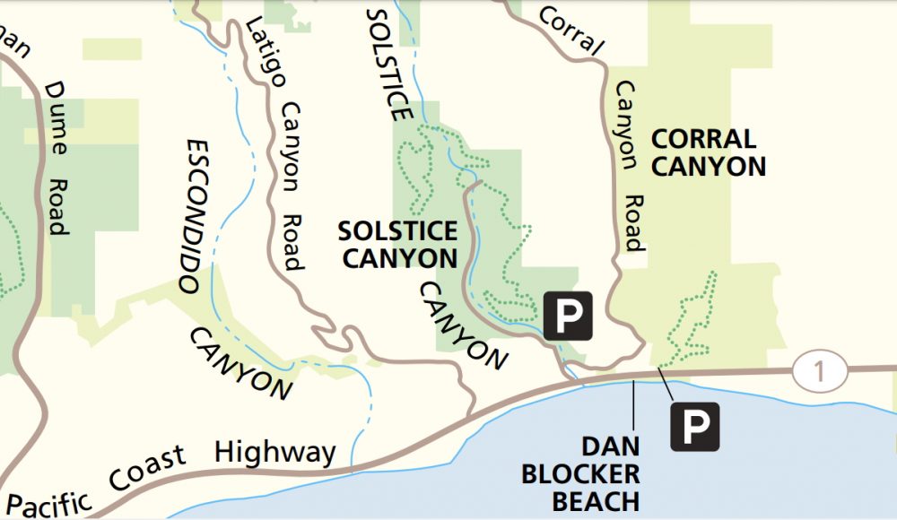
See the map in the photos. All of these trails are shown on Google Maps too so bring your phone and you’ll be good.
No matter how you put this day hike together, you are bound to have fun as there are so many things to see and different ways to do it.
- Address
- Solstice Canyon Rd & Corral Canyon Rd
Malibu, CA 90265 - Phone
- 805 370-2301
- Website
- Visit website

Nearby Beaches
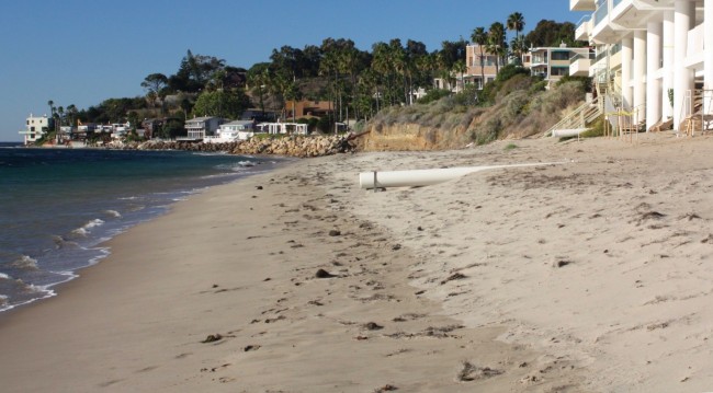
Dan Blocker County Beach
0.5 miles away
Dan Blocker Beach in Malibu is a long narrow beach below Pacific Coast Highway between the Latigo Shores neighborhood...
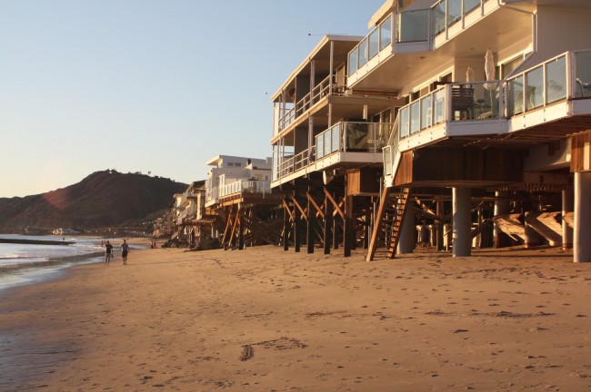
Latigo Beach
0.5 miles away
Latigo Beach is on the east side of Latigo Point in Malibu. More specifically, Latigo Beach is below the...
Puerco Beach
1.3 miles away
Puerco Beach is the official name for the beach on the western portion of Malibu Road in Malibu, CA....
Nearby Attractions
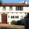
Adamson House and Malibu Lagoon Museum
3.3 miles away
Adamson House is located between Surfrider Beach and Malibu Lagoon State Beach. What a great location for a beach...
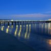
Malibu Pier
3.5 miles away
Malibu Pier isn’t one of the longest piers in California, but it is in one of the best locations. West...
Nearby Lodging


Malibu Vacation Rentals
2.9 miles away
Renting a vacation home in Malibu is one of the best ways to stay and enjoy this stretch of...
Reviews
There are no reviews yet. Be the first one to write one.