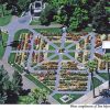
Sutters Fort State Historic Park
Photo Gallery

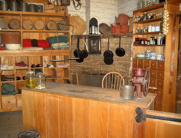
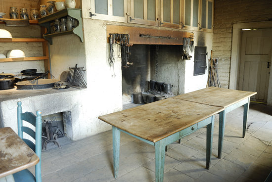
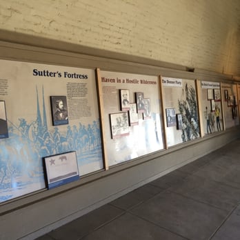
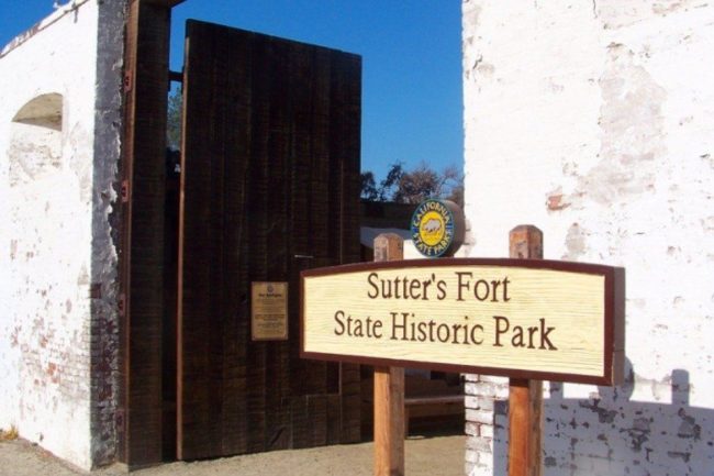
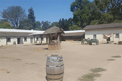
About Sutters Fort State Historic Park in Sacramento, California
Sutters Fort State Historic Park in the Sacramento area is one of the many attractions, parks, and things to do in California. The map below will show you where Sutters Fort State Historic Park is located and also provide driving directions. For more information, contact them at (916) 445-4422 or on their website. Below is a list of the nearest beaches to Sutters Fort State Historic Park and other nearby attractions.
- Address
- 2701 L Street
Sacramento, CA 95816 - Phone
- (916) 445-4422
- Website
- Visit website

Nearby Beaches
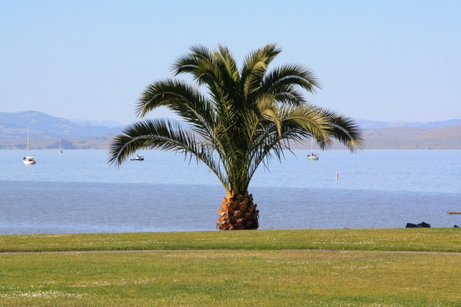
McNears Beach Park
57.8 miles away
McNears Beach Park is a Marin County Park located in the city of San Rafael. The beach here is...
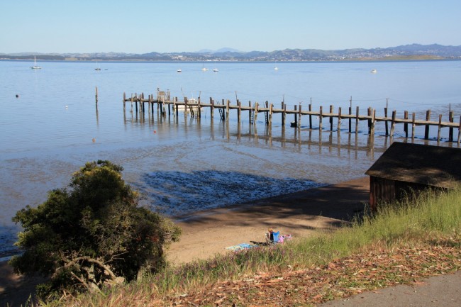
China Camp State Park Beach
57.9 miles away
China Camp State Park is a large state park on San Pablo Bay north of San Francisco. China Camp...
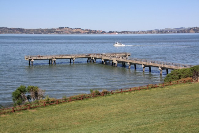
Paradise Beach Park
61.8 miles away
Paradise Beach County Park is a nicely landscaped facility on San Pablo Bay near Tiburon, CA. The beach here...
Nearby Attractions

Nearby Lodging
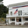
Smiley's Schooner Saloon & Hotel
60 miles away
Smiley’s Saloon in Bolinas has a small hotel around back. It’s one of only a few lodging options in...

Embassy Suites San Rafael - Marin County
60.5 miles away
The inviting Embassy Suites San Rafael provides upscale guestrooms and generous amenities. At this San Rafael getaway all guests...
Reviews
There are no reviews yet. Be the first one to write one.