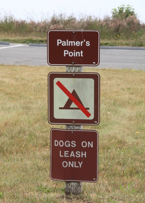
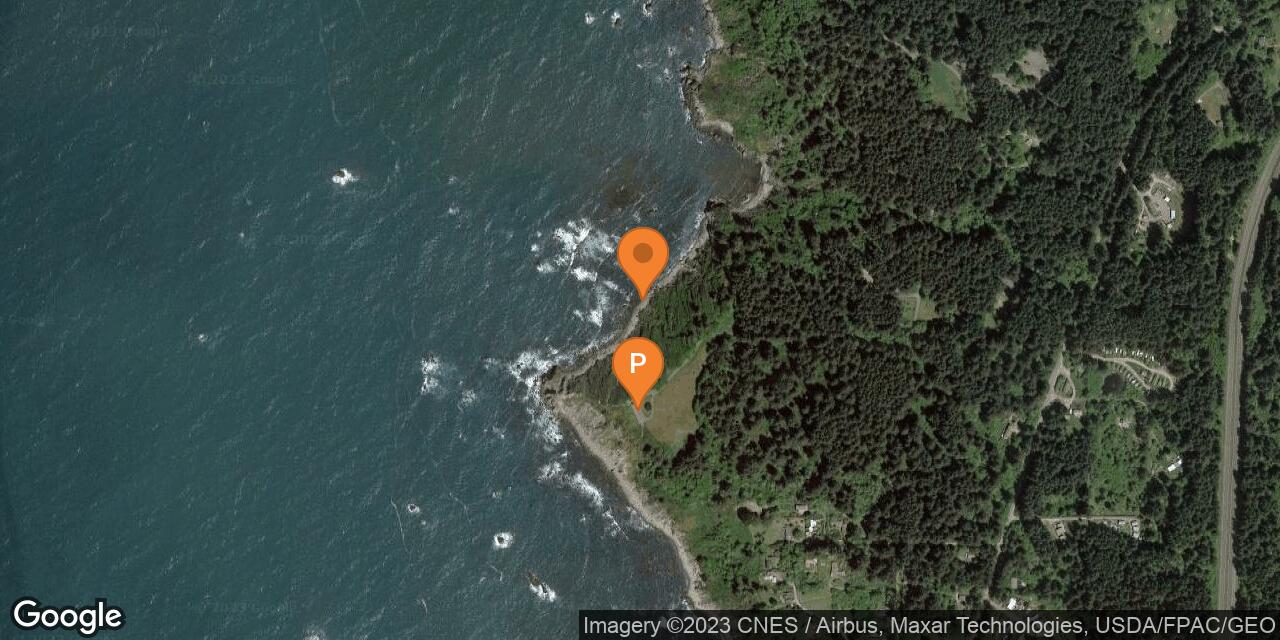
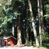
Palmer’s Point at Sue-meg State Park
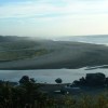
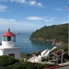
Photo Gallery


About Palmer’s Point at Sue-meg State Park in Trinidad, California
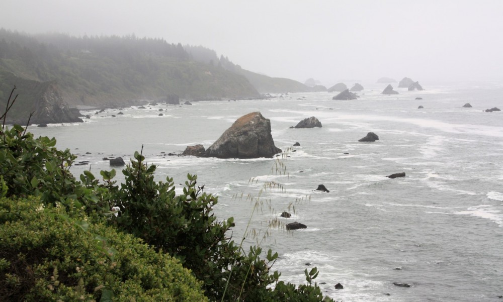
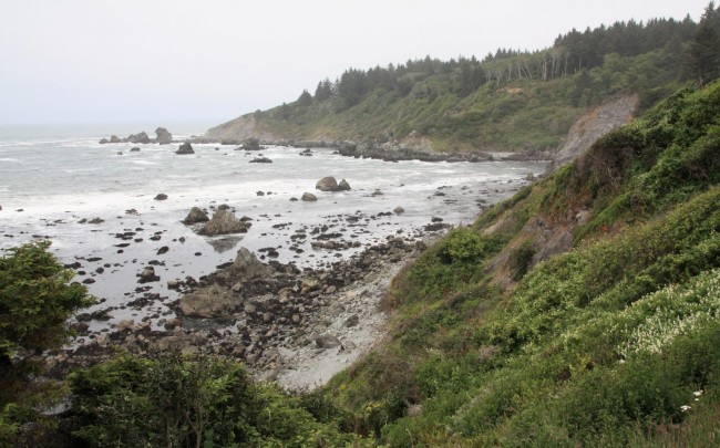
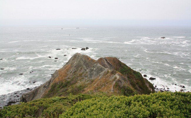
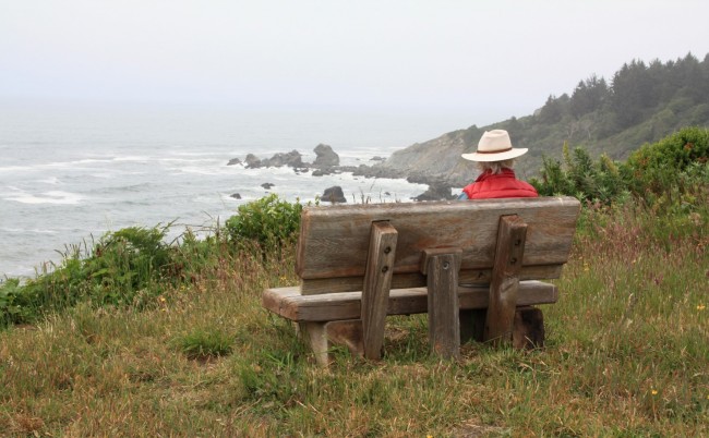
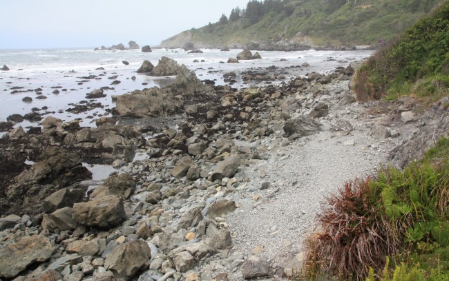
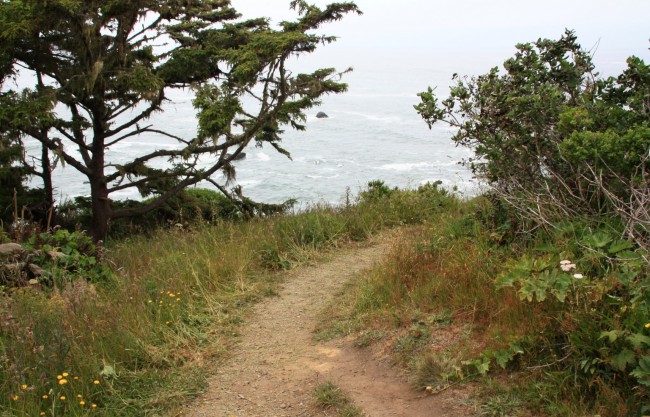
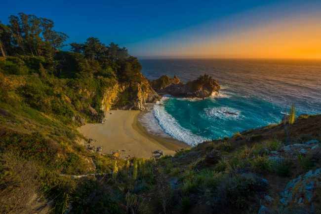
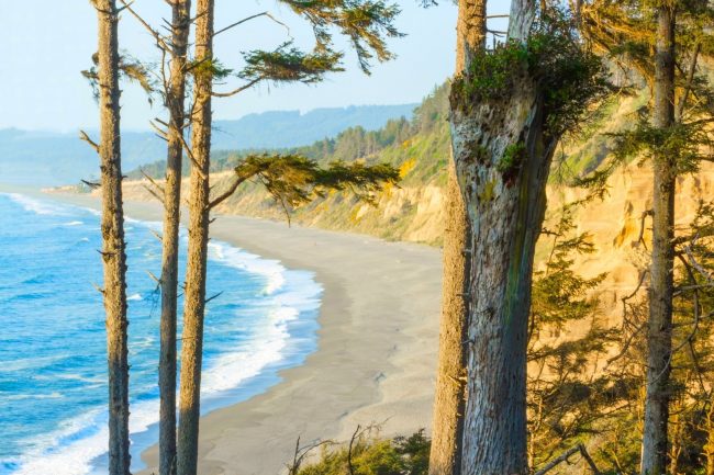
Palmer’s Point is the southern beach access at Sue-meg State Park near the town of Trinidad, California. It’s a rugged spot that’s known for tidepools and not sand. Even if you don’t venture down to the rugged shoreline, the view from Palmers Point is magnificent.
Government maps have labeled this beach as Cannonball Beach for years, but the state park has the entire area signed for Palmer’s Point.
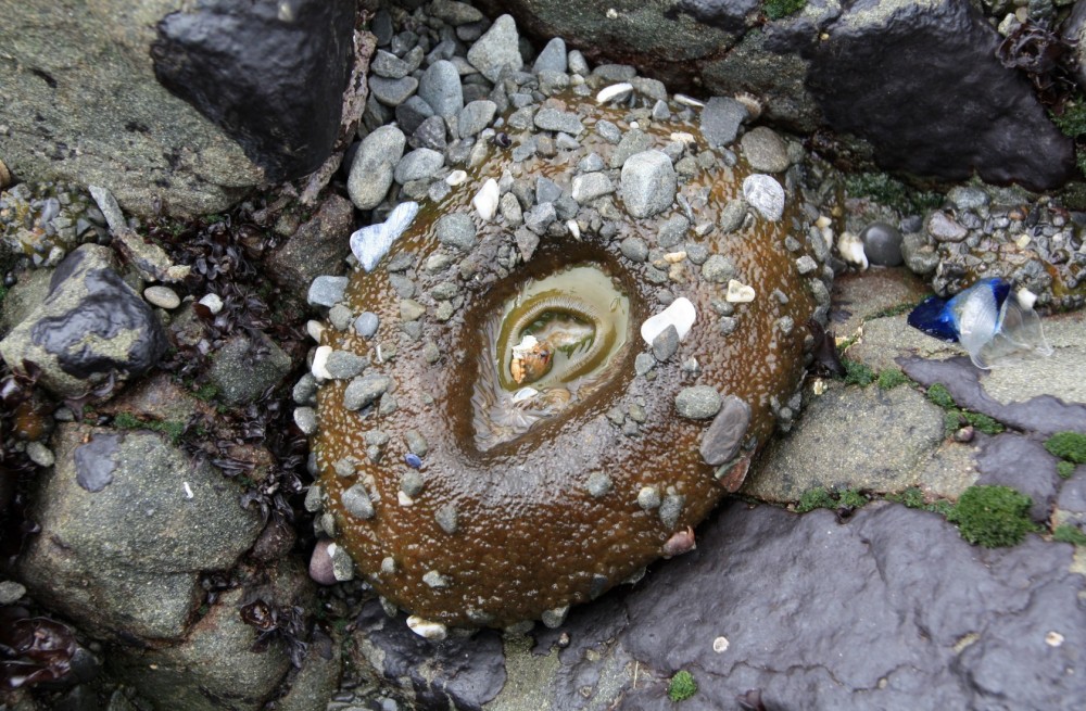
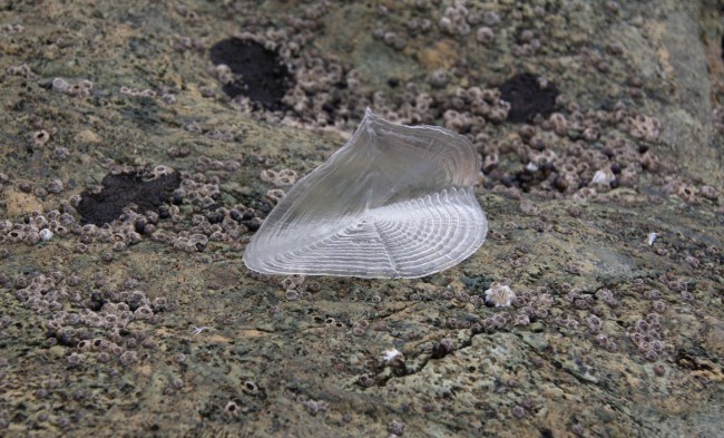
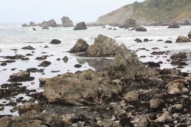
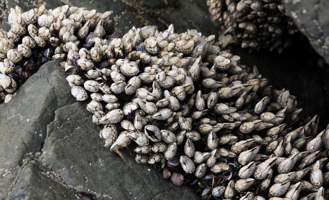
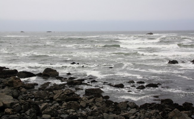
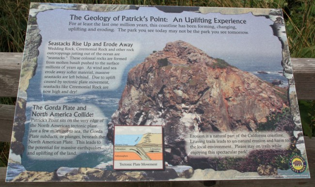
It’s best to visit this location at low tide to see the marine life in the abundant tide pools. Signage at the blufftop explains the geology of the area (plate tectonics) and the intertidal zones of the beach.
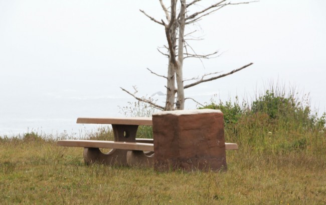
This point is popular for whale-watching during the winter and spring migration of gray whales. Wooden benches and picnic tables are provided, but if you have portable chairs you’ll find a comfortable spot with unobstructed views.
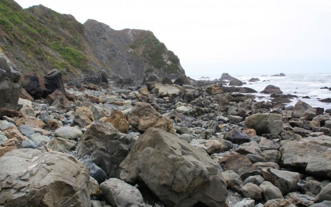
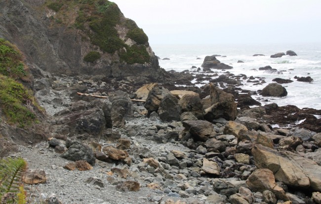
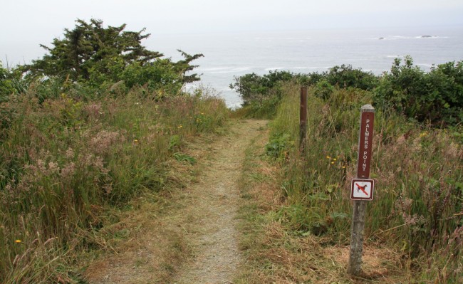
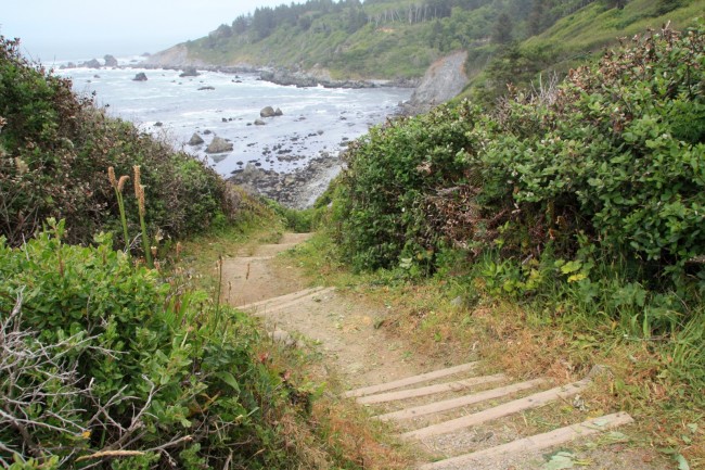
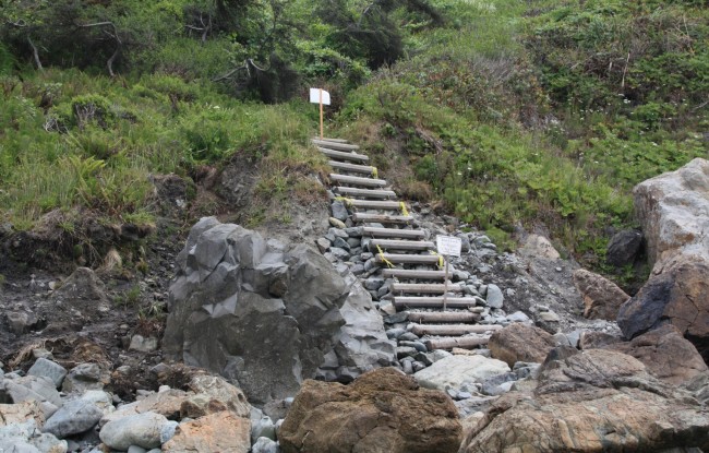
From the parking lot at the end of Palmers Point Road there is a steep hiking trail with stairs that lead down to Cannonball Beach. True to it’s name, the beach is filled with cannonball-sized boulders and much larger ones which make it tough to travel far from the access. Sturdy shoes or hiking boots help if you want to walk the shoreline.
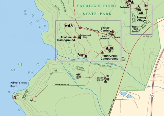
There are three campgrounds in the park so consider staying for a while. Hiking trails meaner all about Sue-meg State Park so get a map from the visitor center when you arrive. Pack a jacket for your adventures as this region is frequently cool and foggy.
The name of this park recently changed from Patrick’s Point State Park to Sue-meg State Park to honor the history of Sumeg Village located in the park. If you have time, you should visit the village site to see the traditional structures which Yurok families used in this area in the 1800s.
- Address
- 4150 Patricks Point Dr
Trinidad, CA 95570 - Phone
- 707-677-3570
- Park Name
- Sue-meg State Park (formerly Patricks Point State Park)
- Other Names
- Cannonball Beach
- Owner
- State Park
- Pet Details
- No dogs allowed on the beach or trails (ok on leash in the parking lot)
- Fees
- Fees for day-use and camping
- Activities
- Tidepooling, Camping, Picnicking, Whale Watching, Hiking
- Amenities
- Campgrounds, Tide Pools, Trails, Picnic Tables, BBQ, Benches, Interpretive Signs

Nearby Attractions
Nearby Lodging
Lost Whale Bed & Breakfast Inn
0.6 miles away
Only about a half hour up the coast from Eureka, the Northern California destination of the Lost Whale Inn...
Related Articles

Reviews
There are no reviews yet. Be the first one to write one.