Garcia River Beach
Photo Gallery


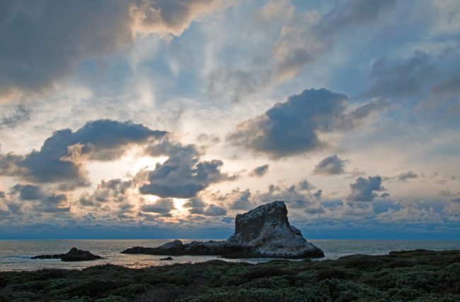
About Garcia River Beach in Point Arena, California
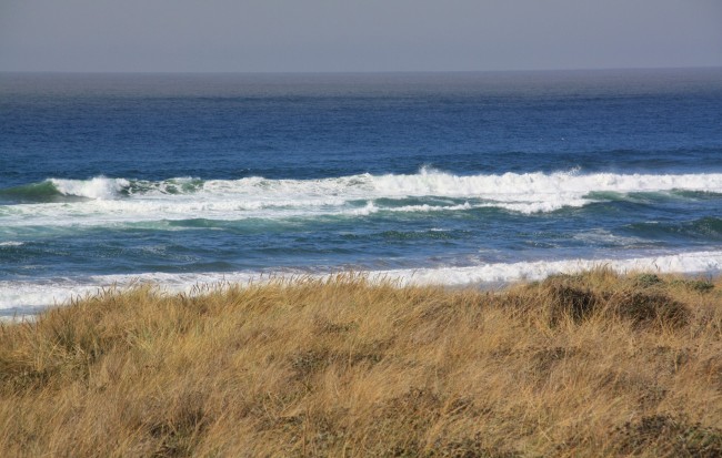
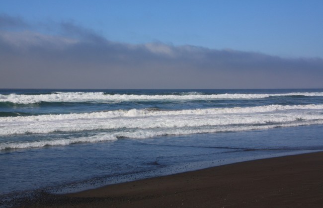
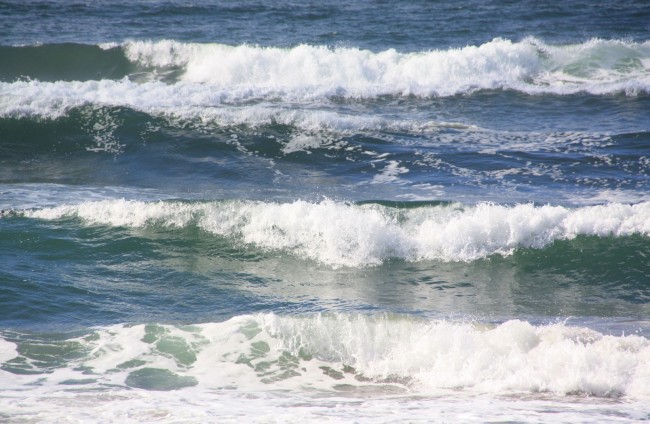
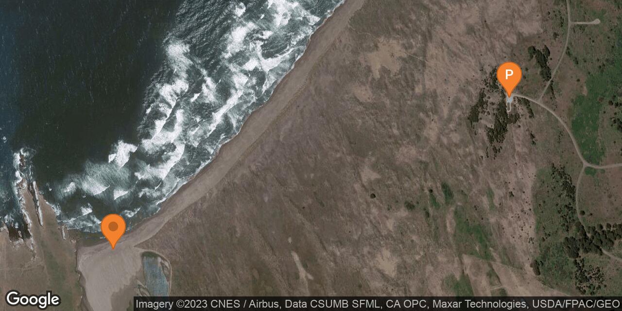
The Garcia River Beach is in the northern part of Stornetta Public Lands, a BLM-managed recreation area north of the town of Point Arena.
In 2014 President Obama added the land around the river estuary to California Coastal National Monument. Most of this monument is south of Point Arena Lighthouse, but this sandy beach is right at the mouth of Garcia River on the north side of the point.
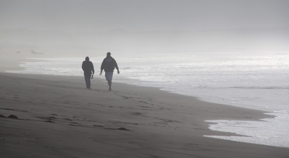
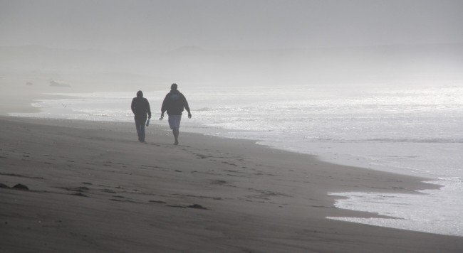
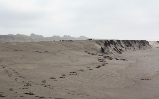
There is only one way to get there and it’s a long walk south from Manchester State Beach. The southernmost beach access in the state park is on Stoneboro Road. From that parking lot it’s nearly a half mile hike through the dunes to the beach. After reaching the beach, it is almost another mile of walking on the sand to the river mouth.
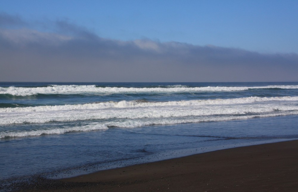
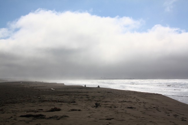
This stretch of beach is littered with driftwood and other things pushed ashore by the waves making it excellent for beachcombing. Camping is not allowed on Stornetta Public Lands.
- Address
- Miner Hole Rd
Point Arena, CA 95468 - Phone
- 707.468.4000
- Park Name
- Stornetta Public Lands, California Coastal National Monument
- Owner
- BLM
- Pet Details
- No dogs allowed on the beach
- Fees
- Free parking at the Manchester State Beach south lot
- Activities
- Beachcombing, Abalone Diving, Birdwatching, Hiking, Fishing
- Amenities
- Driftwood, No Facilities
- Links
- Tide Chart Water Temps

Nearby Attractions

Nearby Lodging
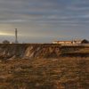
Lodging at Point Arena Lighthouse
0.3 miles away
Supplying some of the most unique offerings along the Mendocino Coast, guests of the Point Arena Lighthouse enjoy overnight...
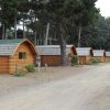
Manchester Beach KOA Campground & Cabins
2.4 miles away
Just a short distance from a remote five mile long sandy beach on the Mendocino Coast, this KOA Campground...
Related Maps
Reviews
There are no reviews yet. Be the first one to write one.