Tomales Bay Trail
Photo Gallery


About Tomales Bay Trail in Point Reyes Station, California
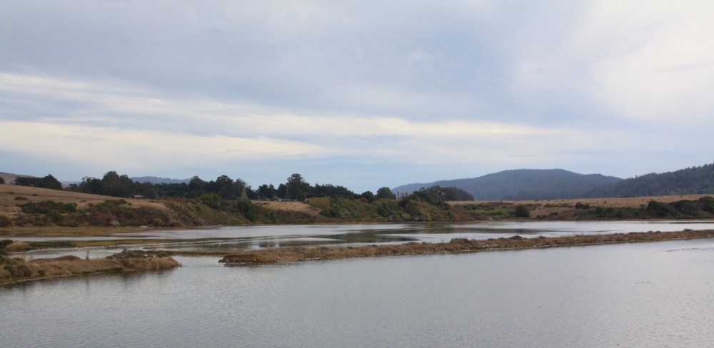
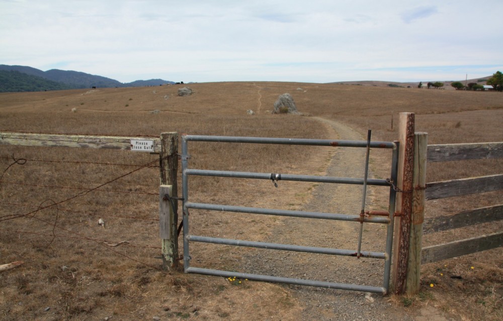
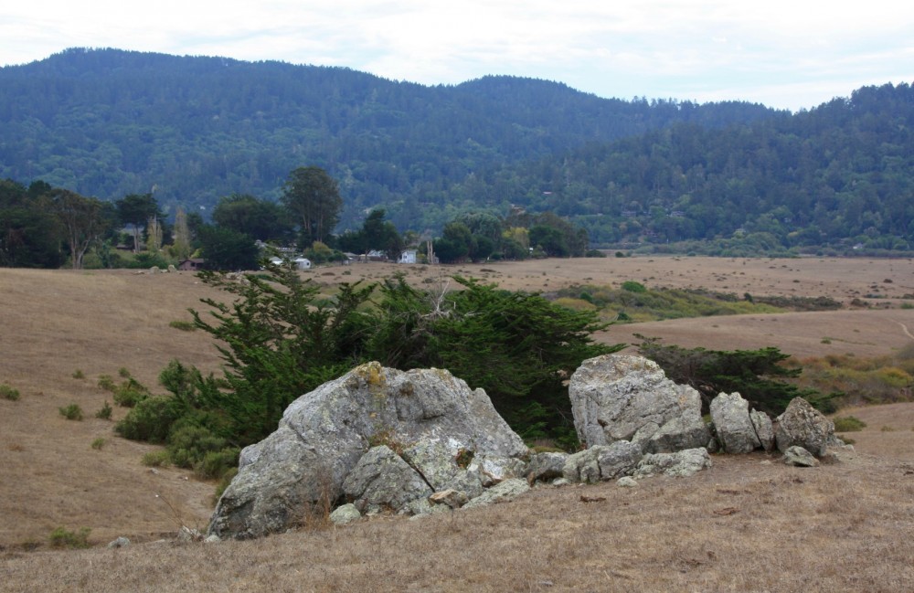
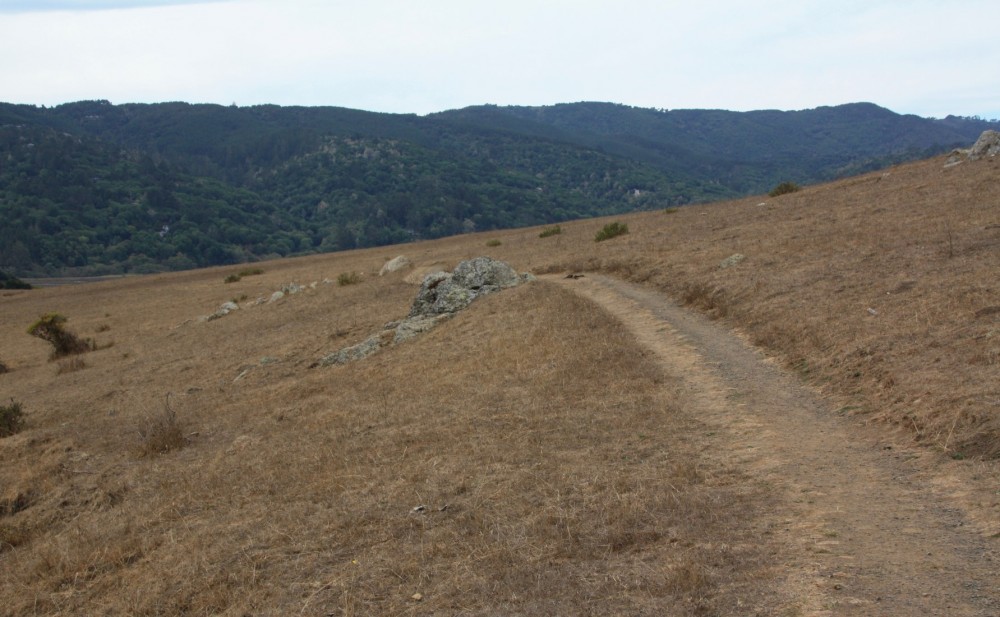
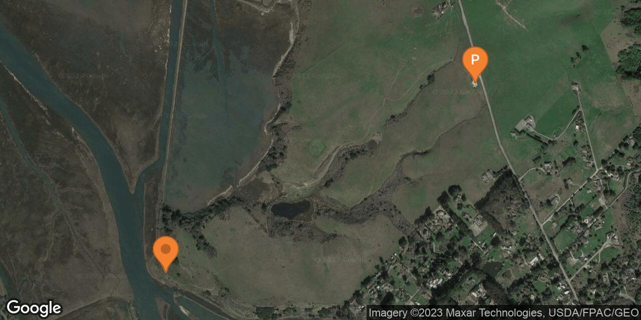
The Tomales Bay Trail is a hiking route that provides access to the part of Tomales Bay where the salt water mixes with freshwater from Lagunitas Creek. There is no sandy beach here, but it is an interesting shoreline that few people see. This region is known for hikes and beaches on Point Reyes Peninsula and the shoreline of Tomales Bay. Most hikers and visitors overlook this vast tidal estuary. It’s an excellent spot for bird-watching and has even been protected for shorebird habitat in Tomales Bay Ecological Reserve. The wetlands have been restored in a project called the Giacomini Wetlands Restoration Project which was completed in 2008. On this hike you will pass by a couple ponds then rise over a small hill with views of the area before ending at the marshy shoreline (just over one mile each way). An old levee that used to be a railroad right of way runs through this spot and evidence can still be seen. The Tomales Bay Trailhead is maintained by the National Park Service as part of Golden Gate National Recreation Area. To find the parking lot drive north from the town of Point Reyes Station on Highway 1 and look for the Tomales Bay Trailhead sign.
- Address
- 12305 Highway 1
Point Reyes Station, CA 94956 - Park Name
- Golden Gate National Recreation Area, Tomales Bay Ecological Reserve
- Owner
- National Park
- Pet Details
- No dogs allowed
- Fees
- Free parking
- Activities
- Hiking, Birdwatching
- Amenities
- Trails, Wetlands

Nearby Attractions

Point Reyes Shipwreck Site
1.6 miles away
The Point Reyes Shipwreck is an iconic wooden boat stuck on a sandbar in the town of Inverness on...

Nearby Lodging


Related Articles
Reviews
There are no reviews yet. Be the first one to write one.