Pinnacles National Park
Photo Gallery
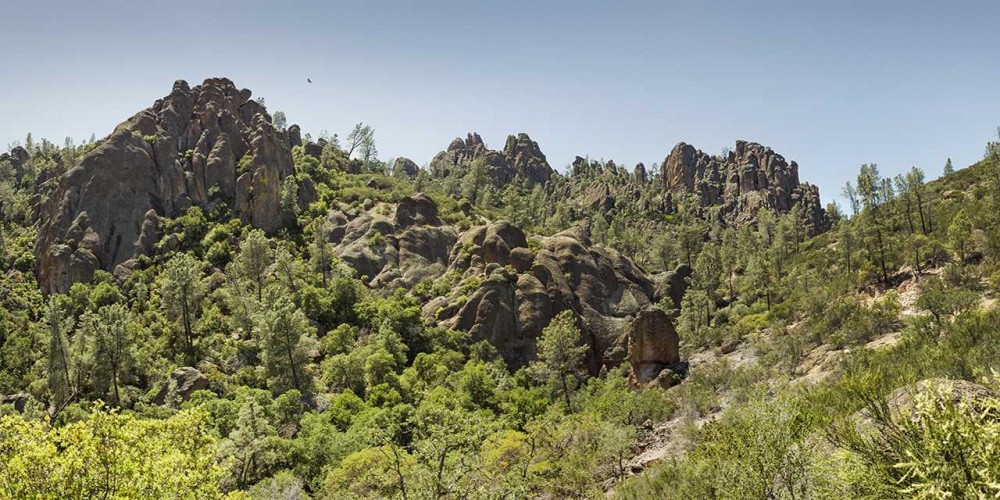
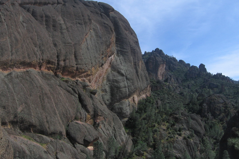


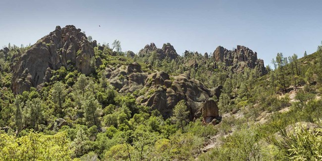

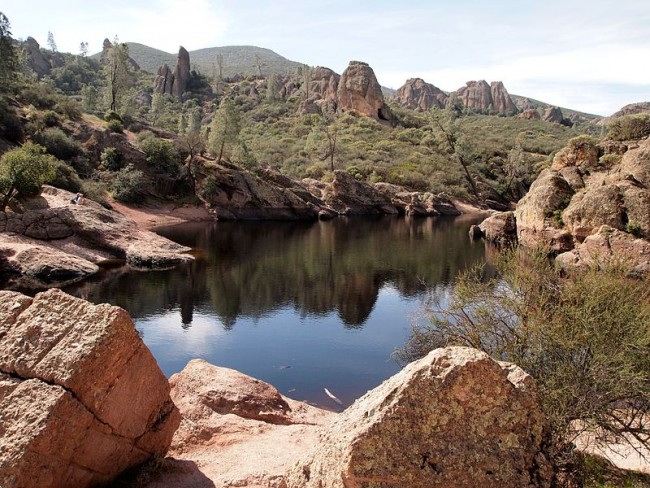
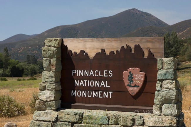
About Pinnacles National Park in Paicines, California
Pinnacles National Park in the Salinas area is one of the many attractions, parks, and things to do in California. The map below will show you where Pinnacles National Park is located and also provide driving directions. For more information, contact them at (831) 389-4486 or on their website. Below is a list of the nearest beaches to Pinnacles National Park and other nearby attractions.
- Address
- 5000 Highway 146
Paicines, CA 95043 - Phone
- (831) 389-4486
- Website
- Visit website

Nearby Beaches
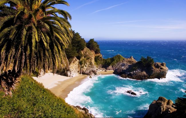
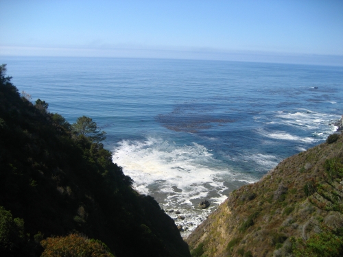
Julia Pfeiffer Burns Beach
30 miles away
Julia Pfeiffer Burns State Park on the Big Sur coast is home to iconic McWay Falls which pours onto...
Partington Cove
30.3 miles away
Partington Cove is a remote rocky cove below Partington Point in Julia Pfeiffer Burns State Park. The shoreline in...
John Little State Natural Reserve
30.3 miles away
John Little State Natural Reserve is a relatively unknown state-owned property protects the land at this spot along along...
Nearby Attractions
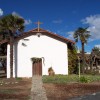
Mission Soledad
8.8 miles away
The Mission Soledad is certainly one of the loveliest, rural missions. It is set among the beautiful hills and...

Monterey Zoo
20.9 miles away
The Monterey Zoo is located at the Vision Quest Ranch in Salinas. It’s not far from Monterey and the...
Nearby Lodging
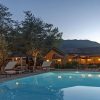
Bernardus Lodge & Spa
26.2 miles away
Encircled by lush gardens, orchards and vineyards, Bernardus Lodge & Spa pairs stylish and sophisticated accommodations with a resort...

Carmel Valley Ranch
28.5 miles away
Behind the welcoming gates of the vast, 1700-acre estate known as Carmel Valley Ranch lies a world of extraordinary...
Related Articles
Reviews
There are no reviews yet. Be the first one to write one.