Alamere Creek Beach
Photo Gallery

About Alamere Creek Beach in Bolinas, California
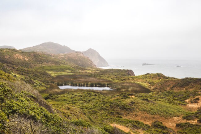
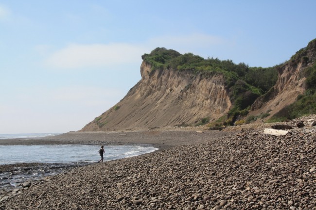
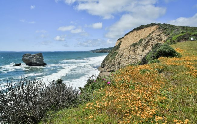
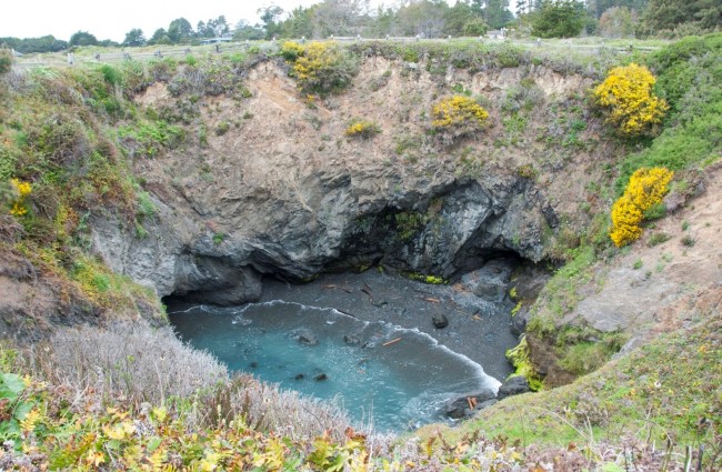
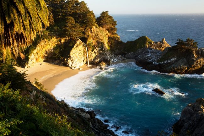
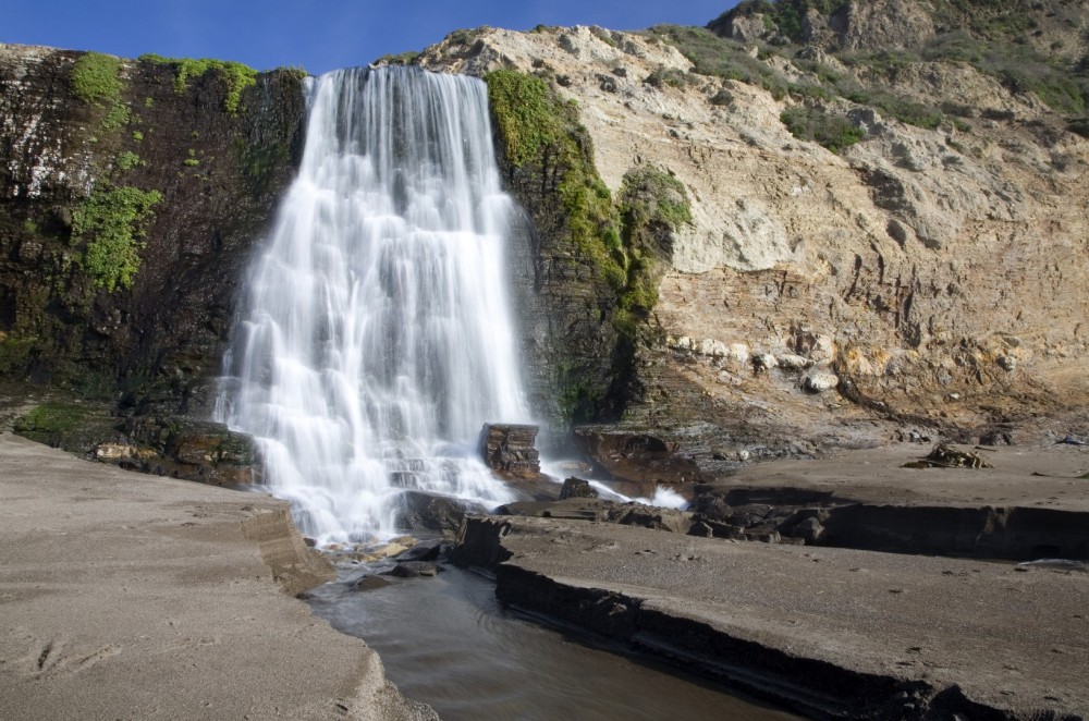
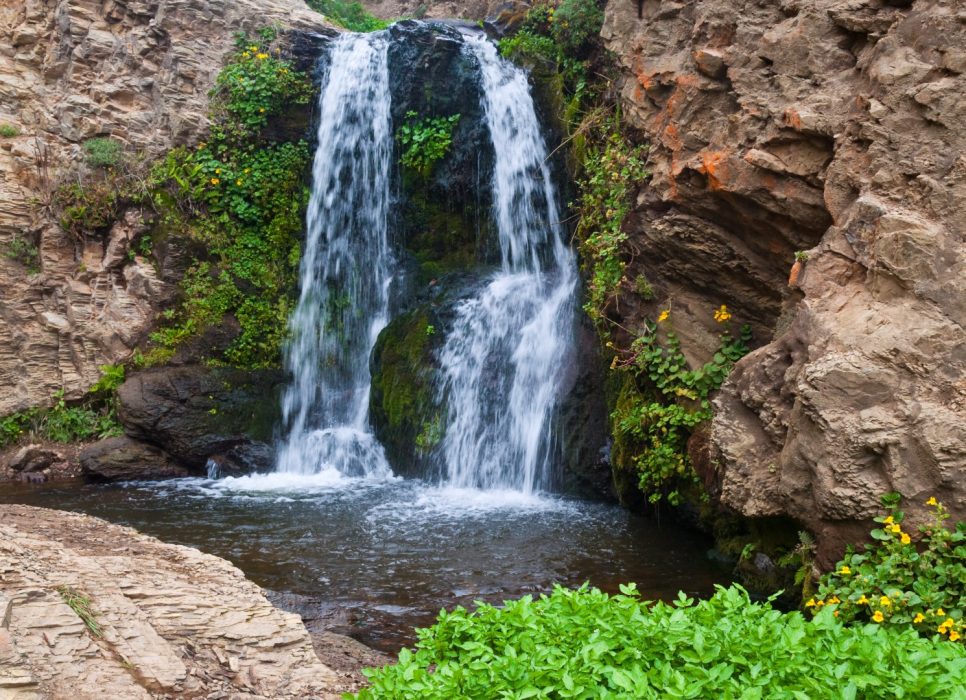
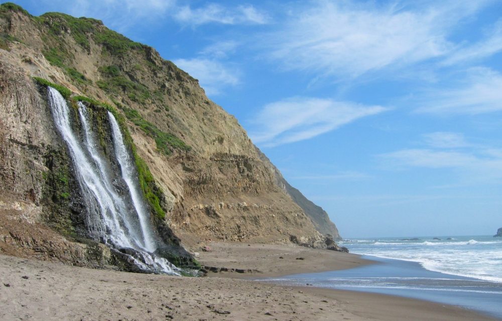
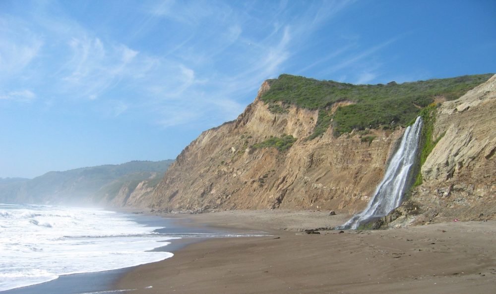
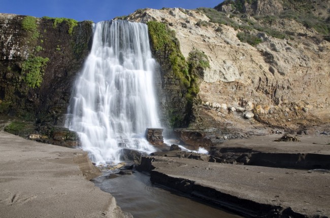
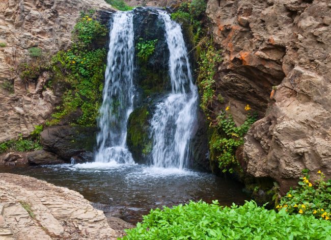
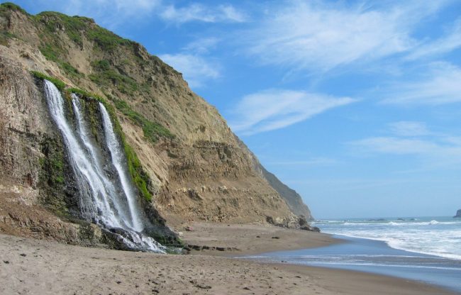
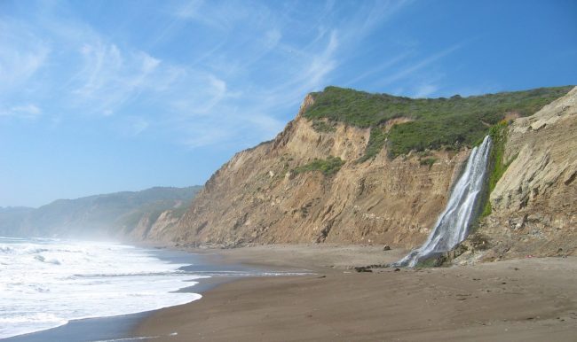
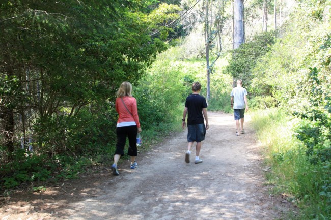
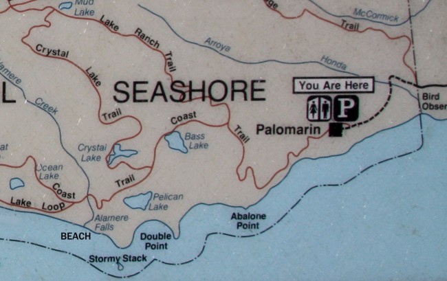
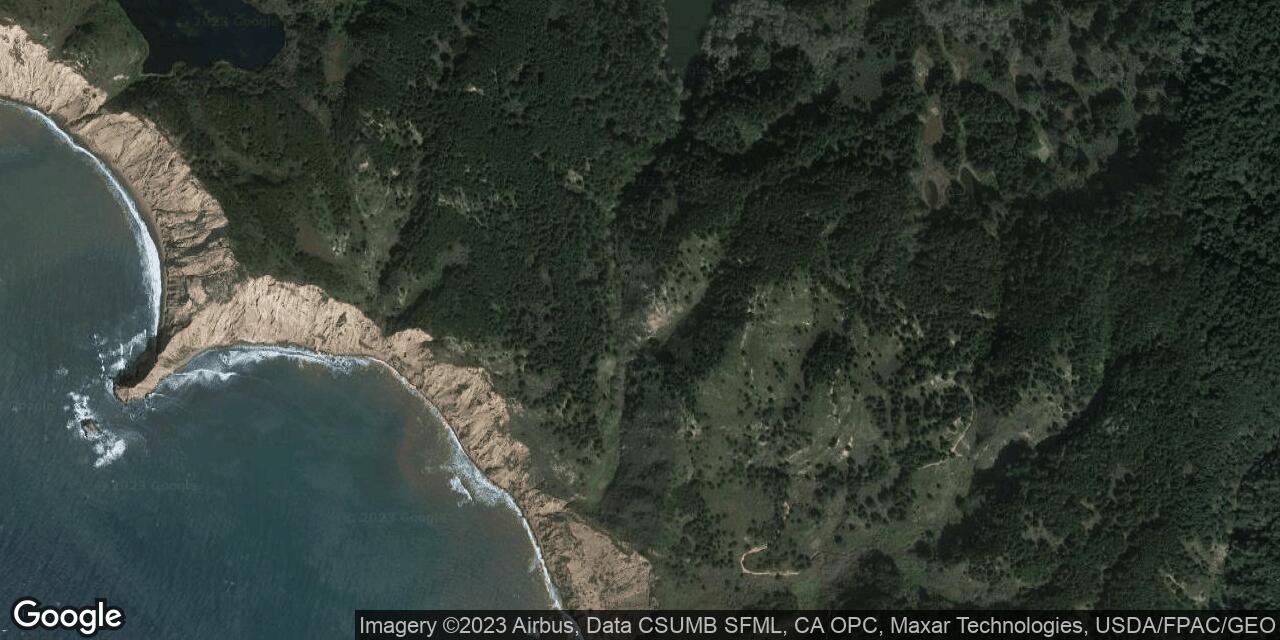
Alamere Falls is at a dramatic spot where Alamere Creek cascades onto a sandy beach in Point Reyes National Seashore. This hidden waterfall is at the far south end of Wildcat Beach next to a rocky promontory called Double Point. The creek winds down a green trough in the aired landscape then tumbles down a black and green cliff face before digging a channel through the sand to the ocean. Bring a camera to photograph the falls and the beautiful beach here. The most direct access to Alamere Falls still requires a long hike (4 miles each way), but it is just short enough for a day trip. This hike follows the Coast Trail and begins at the Palomarin Trailhead parking lot at the end of Mesa Road north of Bolinas town. After taking the beach trail which branches off the Coast Trail, the going gets a little rough and can require using hands for balance to climb down. Erosion of the trail and the bluff can make it worse and could be very difficult when wet. Alamere Falls Beach is sometimes all wet at the highest tides so plan your hike accordingly (tide charts).
- Address
- End of Mesa Road
Bolinas, CA 94924 - Park Name
- Point Reyes National Seashore
- Owner
- National Park
- Pet Details
- No dogs allowed on beach
- Fees
- Free parking at trailhead
- Activities
- Beach Exploration, Hiking, Beachcombing, Photography
- Amenities
- Waterfall, Trails, No Facilities
 55°F
55°FNearby Beaches
Wildcat Beach
1 miles away
Wildcat Beach is a long west-facing beach backed by steep bluffs along the Point Reyes National Seashore. It requires...
Palomarin Beach
2.3 miles away
Palomarin Beach is the southernmost beach along the Pacific side of Point Reyes National Seashore. At low tides, there...
Arch Rock Beach
2.5 miles away
Arch Rock Beach is below the Arch Rock Overlook in Point Reyes National Seashore. In March of 2015 the...
Nearby Attractions
Nearby Lodging
Related Articles
Reviews
There are no reviews yet. Be the first one to write one.

