Navarro Point Preserve
Photo Gallery


About Navarro Point Preserve in Albion, California
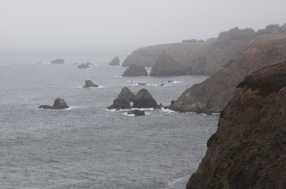
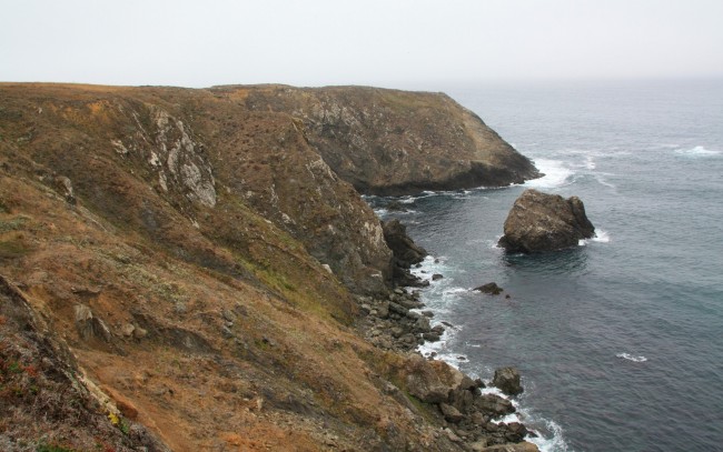
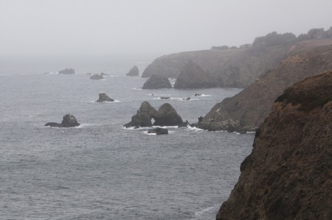
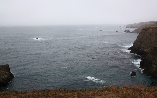
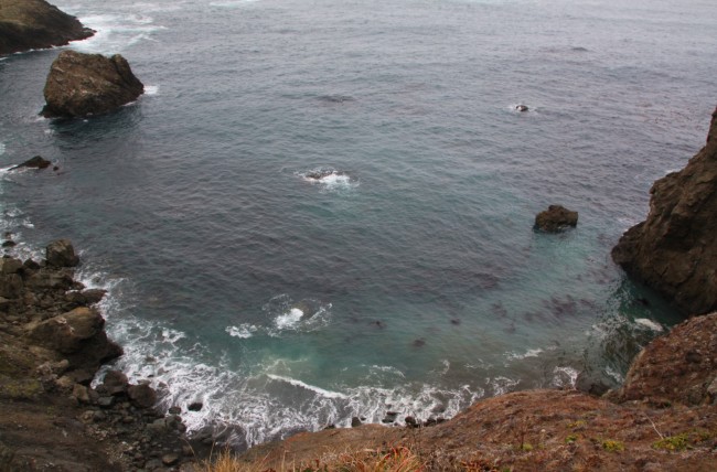
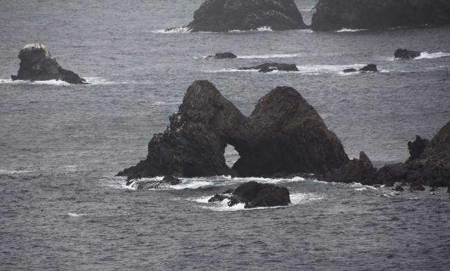
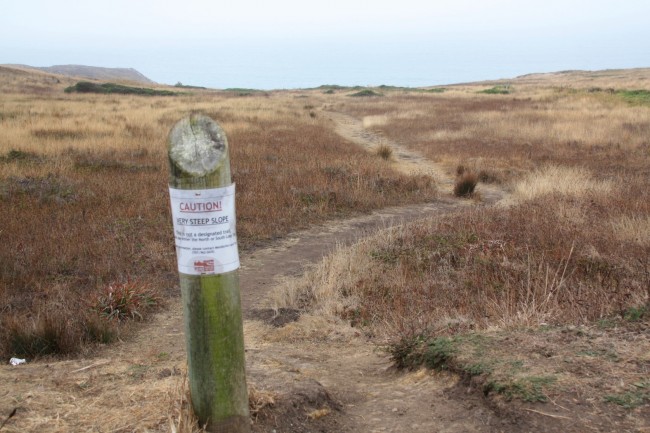
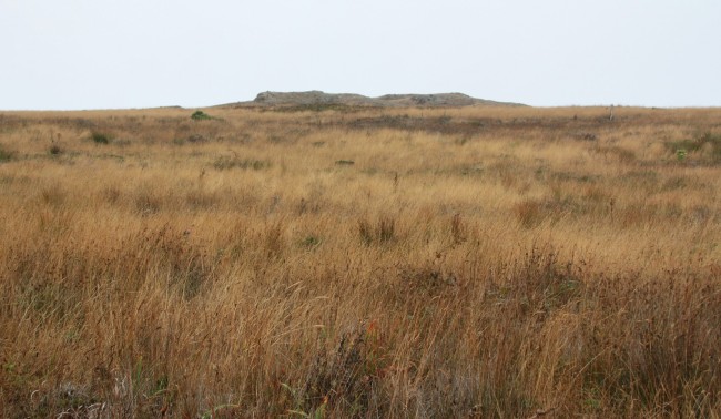
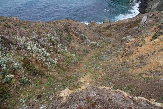
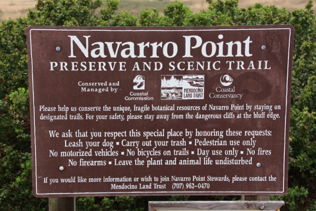
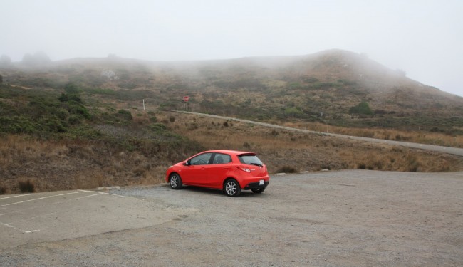
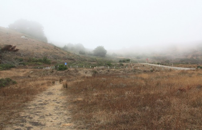
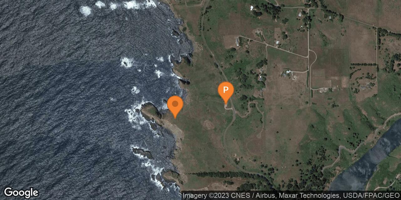
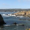
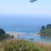
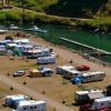
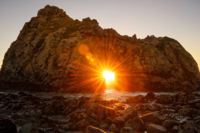
Navarro Point Preserve is just north of the beach at the Navarro River mouth in Mendocino County. Mendocino Land Trust acquired these prairie lands on the headlands west of Highway 1 and installed a parking lot for the trailhead. The scenic Navarro Point Trail is a 1.5 mile loop that roughly follows the perimeter of the property with grand vistas. Unofficial trails branch off the loop, but stay back from the cliff’s edge if you explore them. This is a scenic spot for a short hike. Visible to the north is a unique double-humped rock arch known as Biggar Rock. Dogs are allowed on leash here, but unfortunately bikes are not. The beach below Navarro Point is at the base of high cliffs, but determined souls have installed a fixed rope to make descending the steep route safer. Navarro Beach is nearby with lots of sand and access to the river and ocean. The parking lot for Navarro Beach is down an access road just south of the highway bridge over the river.
- Address
- Shoreline Hwy
Albion, CA 95410 - Park Name
- Navarro Point Preserve and Scenic Trail, Mendocino Land Trust
- Owner
- Land Trust
- Pet Details
- Dogs allowed on leash
- Fees
- Free parking
- Activities
- Hiking, Whale Watching, Birdwatching
- Amenities
- Trails, Ocean Views, Rock Arch, No Facilities

Nearby Attractions

Nearby Lodging
Related Articles
Reviews
There are no reviews yet. Be the first one to write one.