Spanish Flat on the Lost Coast Trail
Photo Gallery


About Spanish Flat on the Lost Coast Trail in Honeydew, California
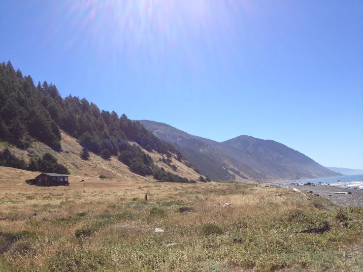
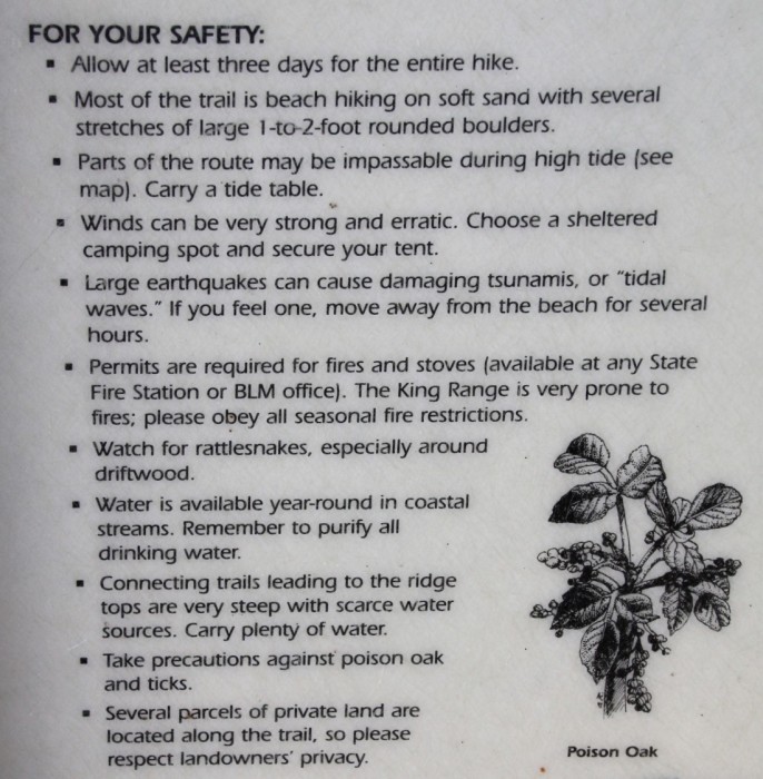
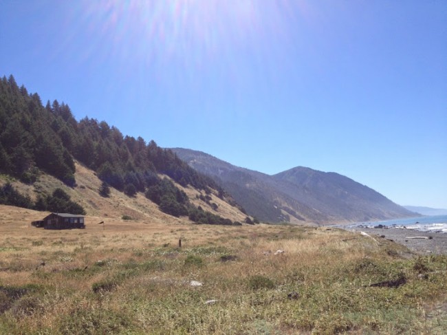
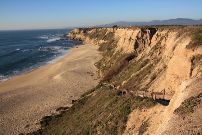
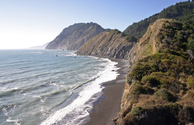
Spanish Flat Beach in King Range National Conservation Area is a coastal backpacking camp along The Lost Coast Trail in Humboldt County. This is a driftwood-covered spot where Spanish Creek and Randall Creek meet the coast. If you want to get here by car and a day hike, then park at the Kinsey Ridge Trailhead in the Conservation Area and follow the gated access road to the bottom. The drive to the trailhead is long and the hike is five miles each way not to mention the elevation change so this would be a very ambitious day trip. Most visitors to this remote spot are thru-hiking from Mattole Campground to Black Sands Beach in Shelter Cove (a 25 mile backpacking expedition). This vast region is managed by the Bureau of Land Management so visit their website for trail maps and information. Free overnight backcountry permits are available at the trailheads and the BLM offices. Permits and bear canisters are required for camping within the King Range.
- Address
- Telegraph Ridge Rd
Honeydew, CA 95545 - Park Name
- King Range National Conservation Area
- Other Names
- Randall Creek Camp
- Owner
- BLM
- Pet Details
- No dogs allowed on the beach
- Fees
- Free backcountry permits issued at trailheads
- Activities
- Beachcombing, Camping, Backpacking, Hiking
- Amenities
- Wilderness Campsites

Nearby Attractions
A. W. Way County Park
5.2 miles away
A. W. Way Park is on a sharp bend in the Mattole River near Petrolia. This Humboldt County facility...

Honeydew Country Store
7.1 miles away
Honeydew Country Store is a small general store and deli (with burgers too) on the way to Mattole River...
Nearby Lodging
Mattole River Organic Farms Country Cabins
5.5 miles away
The well-appointed campgrounds of Mattole River Organic Farms and Country Cabins generate an appealing destination for visitors to Northern...

The Spyglass Inn
12.1 miles away
With four generous suites overlooking ocean views, the luxurious Spyglass Inn promotes spectacular scenery, tucked away along the remote...
Related Articles
Related Maps
Reviews
There are no reviews yet. Be the first one to write one.