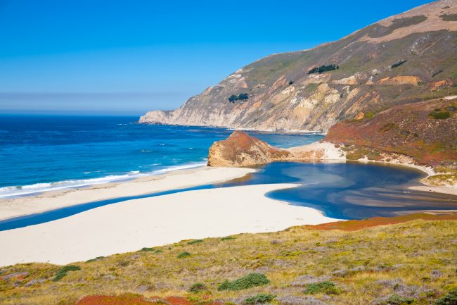
Swiss Canyon Beach
Photo Gallery

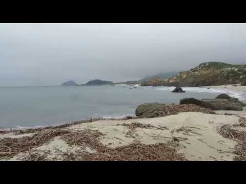
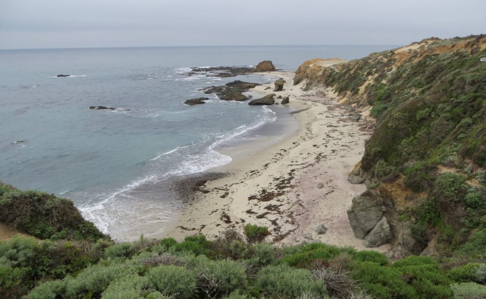
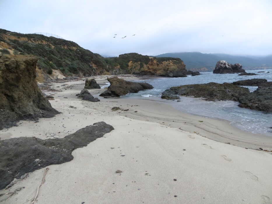
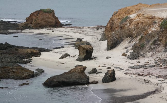


About Swiss Canyon Beach in Big Sur, California
When viewing Google Maps anyone can see this lovely beach. It is the long sandy beach that’s visible when looking north from Andrew Molera State Park. The name comes from Swiss Canyon which ends at the Pacific Ocean on this coastline between the park and Point Sur Lighthouse (see a color topographic map of Swiss Canyon).
When we visited this beach a while back, there was a huge gap in the state park fence and a well-traveled path with a short steep descent that led to the beach (all of this route is on state land). It was clear to us that many adventurous people went to this beach. So we added it to our website and we even added it to our map of the Best Beaches that Tourists Miss in Big Sur.
The owners of the El Sur Ranch (the active cattle ranch behind the beach) have informed us that they intend to prosecute people who trespass on their property so don’t do that! We are unsure if the California State Parks Department has repaired their fence, but there is a sign that reads “AREA CLOSED TO PROTECT NATURAL FEATURES AND INSURE PUBLIC SAFETY – DO NOT ENTER” and it should not be ignored.
The state of California owns all tidelands and the California Coastal Commission (CCC) guarantees the public’s right of access to tidelands. Tidelands consist of the area on a beach or rocky coastline that is between the mean high tide line and the mean low tide line. This CCC guidebook introduction explains these rights and how to be good stewards of tidelands and beaches. So if you were to access this beach legally, or by boat or kayak, you would have to stay below the highest wet point of the beach (like we attempted to do when we visited it).
Since legally visiting this beach is difficult now, we have moved this beach to our map of the Best Beaches You’ll Never See in California. El Sur Ranch now has three of the beaches on this list. Like the others nearby in the Big Sur area, Swiss Canyon Beach is absolutely beautiful. Today you can only take pictures of it from the Headlands Trail on Molera Point in Andrew Molera State Park and wonder what it would be like to walk down there on the sand.
For your information, here is a webpage about prescriptive rights according to the Coastal Commission. We are not sure if this beach falls under these rights, but please let us or the CCC know if you have visited this beach using the route from the park.
- Address
- Cabrillo Hwy and Andrew Molera Rd
Big Sur, CA 93920 - Other Names
- El Sur Ranch Beach, False Sur Beach
- Owner
- State
- Pet Details
- No dogs allowed on the trail or the beach
- Fees
- Fee for parking at state park, free spaces at highway
- Activities
- Beach Exploration, Walking, Hiking, Photography
- Amenities
- Trails, No Facilities

Nearby Attractions
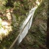
Highbridge Falls
1.9 miles away
Highbridge Falls is located across the highway from Andrew Molera State Park in the Big Sur area. See our...
Nearby Lodging
Big Sur River Inn & Restaurant
3 miles away
Tucked away along the banks of the Big Sur River, the nostalgic Big Sur River Inn & Restaurant transports...
Big Sur Campground & Cabins
3.1 miles away
The family-friendly Big Sur Campgrounds and Cabins offers your choice of tent and RV camping or various options in...
Related Maps
Reviews
There are no reviews yet. Be the first one to write one.