Tajiguas Beach
Photo Gallery
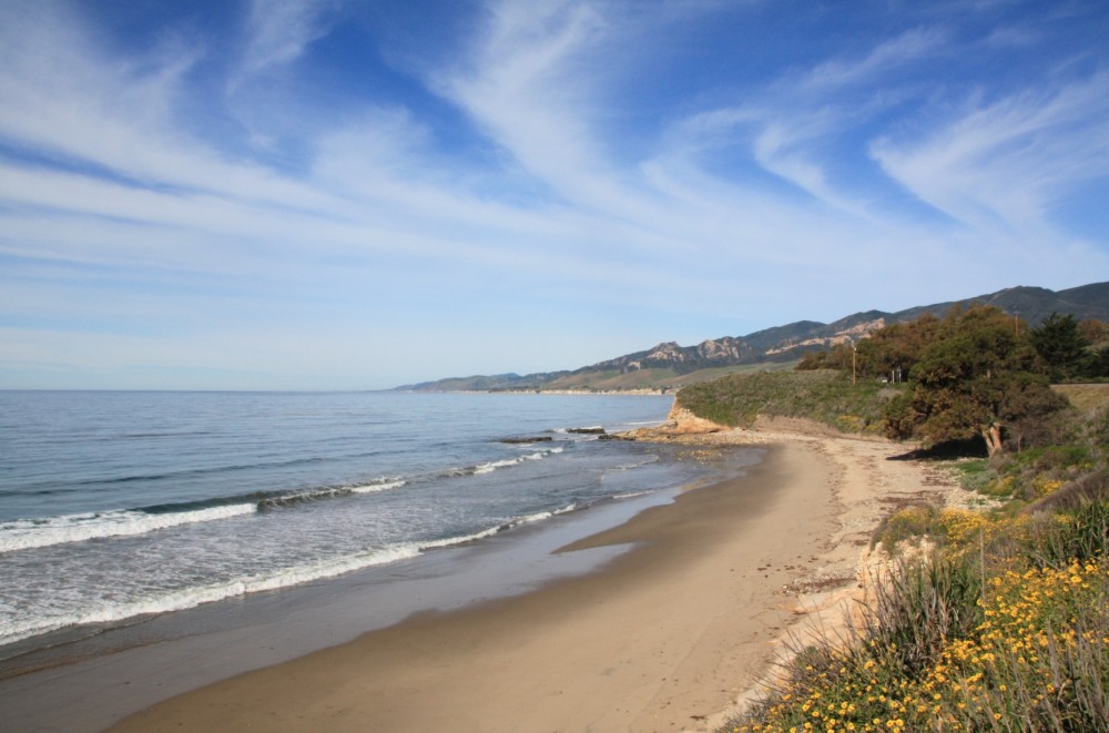
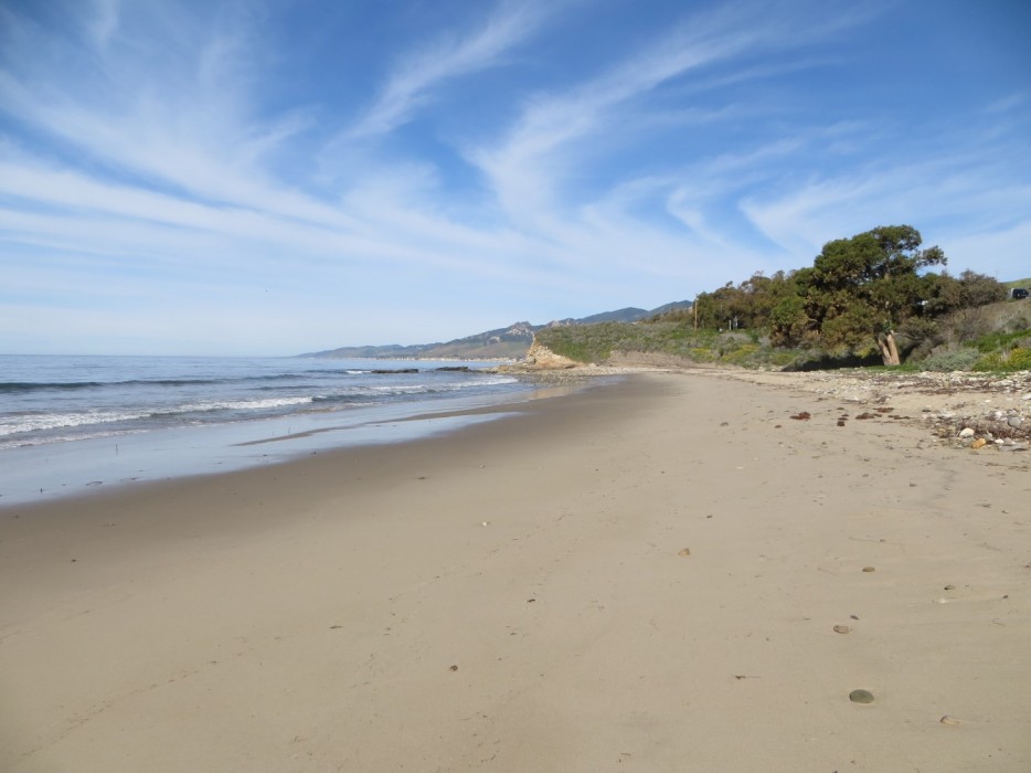

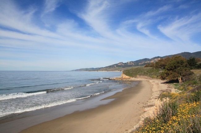


About Tajiguas Beach in Goleta, California
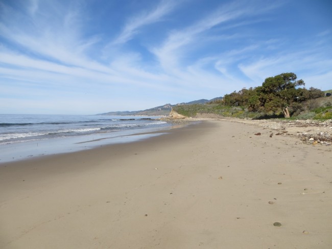
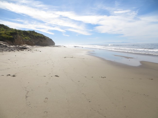
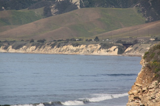
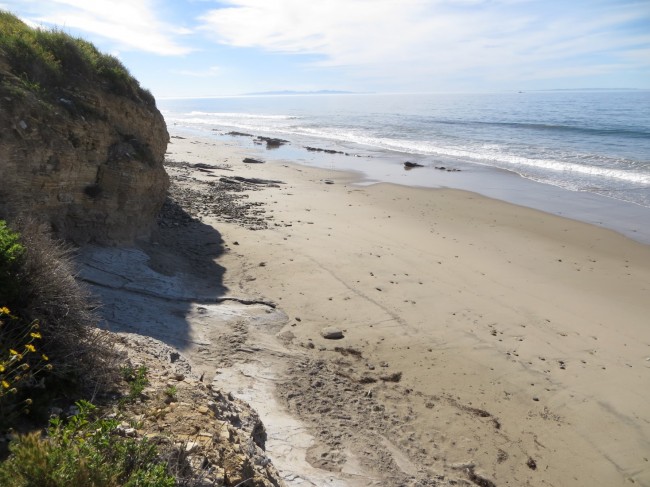
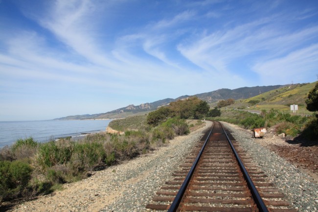
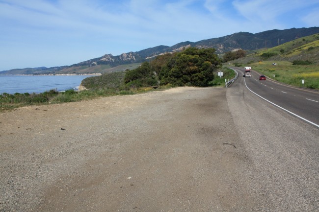
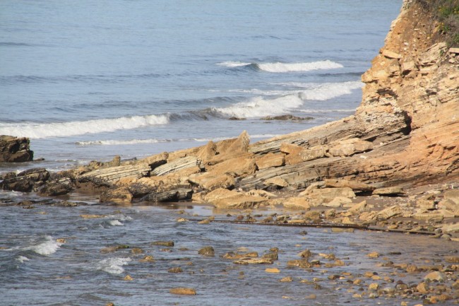
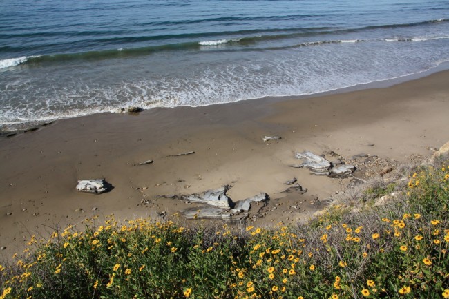
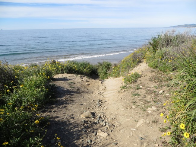
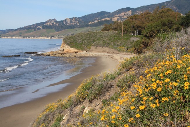
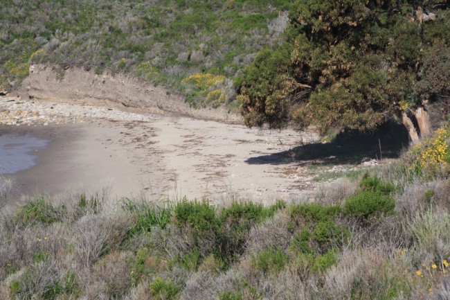
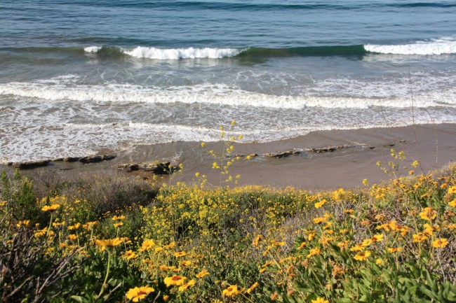
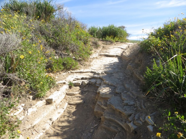
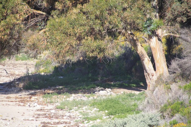
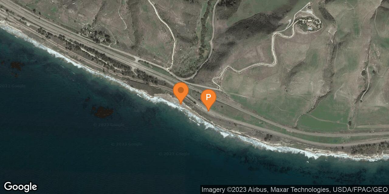
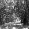
Tajiguas Beach is a narrow beach at the mouth of Tajiguas Creek west of Santa Barbara. There is a wider sandy spot with large rocks in the surf nearest the creek mouth, but otherwise the beach in this area is narrow. Parking can be found along the southbound lanes of Highway 101. To get here from the Santa Barbara area, continue north on the 101 past the Refugio Rd exit to the next intersection then head back on the southbound lanes and park in the first pull-out parking area. Tajiguas Beach is visible below this parking spot. Walk across the railroad tracks and down the embankment to reach the beach. The widest trail to the beach is at the north end of the linear parking area. Don’t get trapped by the tide if you walk far at lower tides. Arroyo Quemada Beach is north from here and Refugio State Beach is south.
- Address
- El Camino Real
Goleta, CA 93117 - Other Names
- Tajiguas Creek Beach
- Owner
- State Lands
- Activities
- Beach Walking, Beach Exploration
- Amenities
- No Facilities

Nearby Attractions
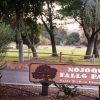
Nojoqui Falls Park & Trail
5.6 miles away
Nojoqui Falls Park is located south of Solvang at the base of the Santa Ynez Mountains. Nojoqui Creek flows...
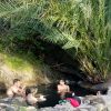
Gaviota Hot Springs
6.3 miles away
Gaviota Hot Springs is just up the highway from Gaviota State Beach and Campground. It’s more of a warm...
Nearby Lodging
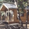
El Capitan Canyon Luxury Camping
3.9 miles away
El Capitan Canyon is a natural lodging and camping property located on the inland side of Highway 101 north...
Reviews
There are no reviews yet. Be the first one to write one.