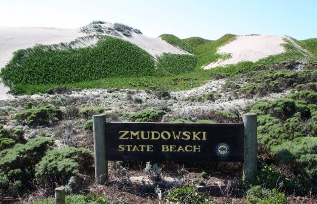
Zmudowski State Beach
Photo Gallery


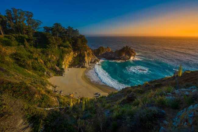
About Zmudowski State Beach in Moss Landing, California
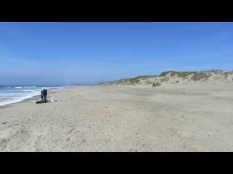
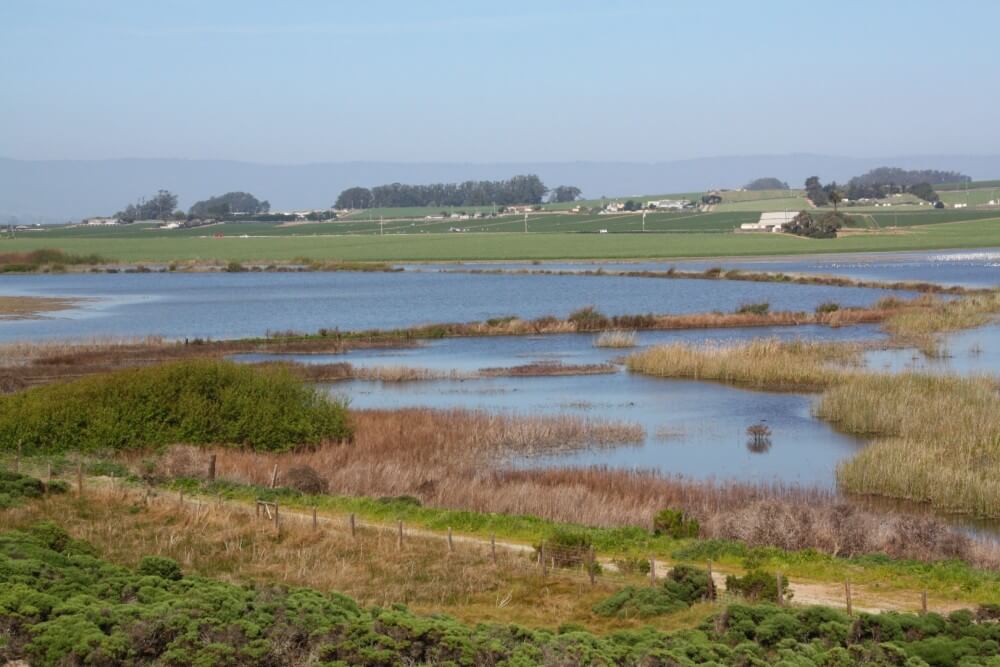
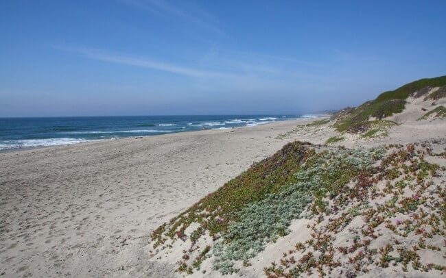
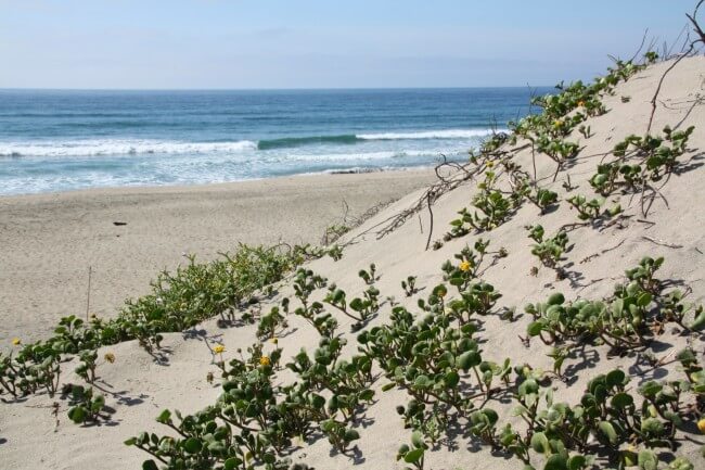
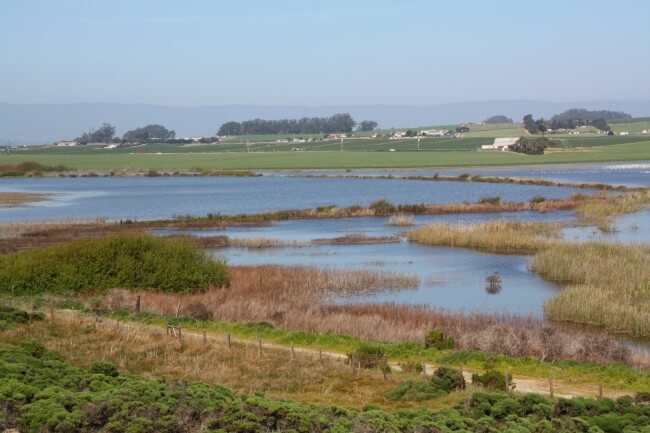
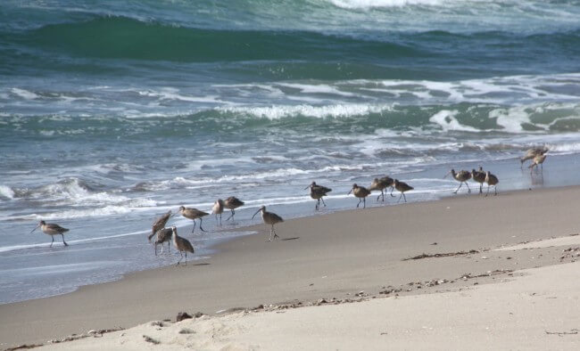
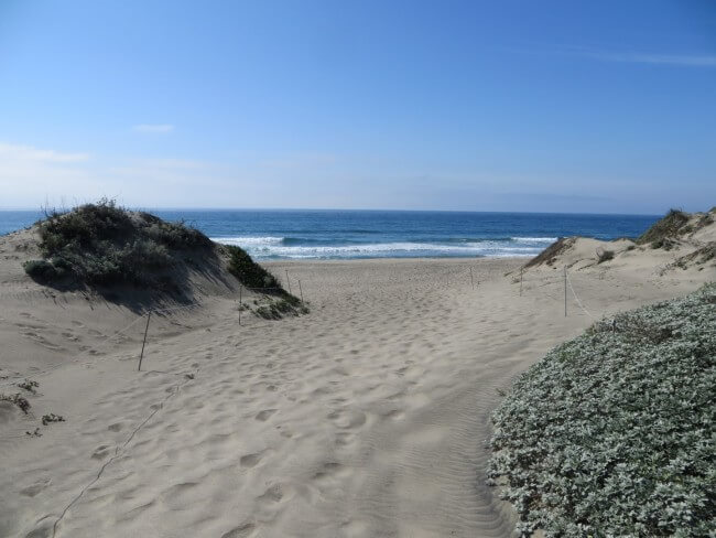
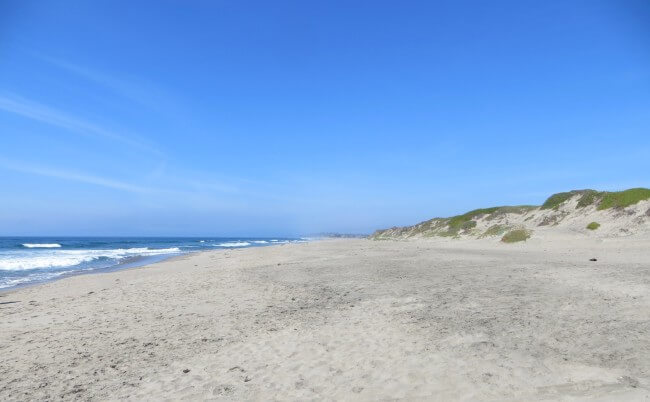
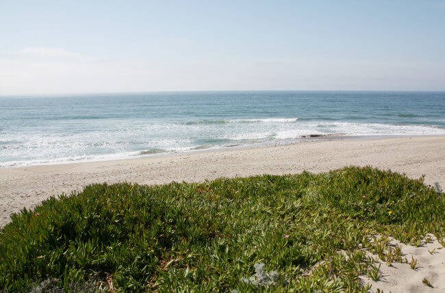
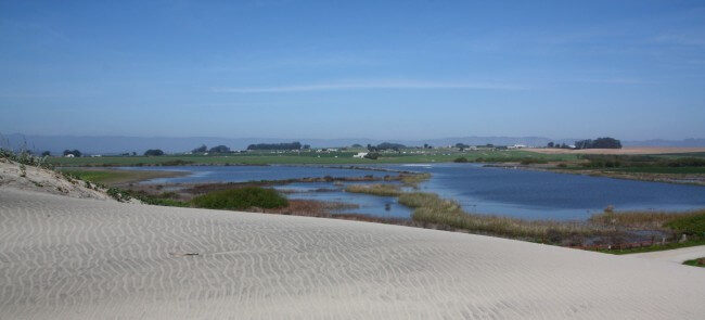
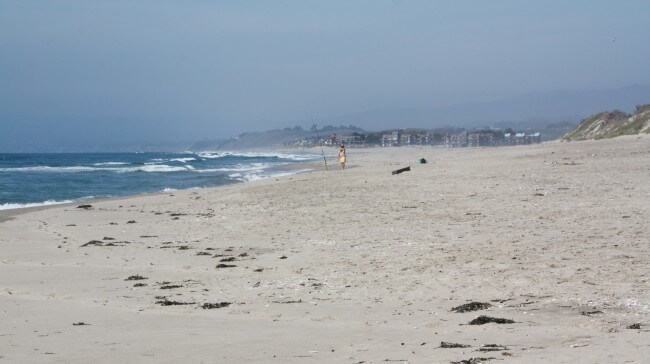
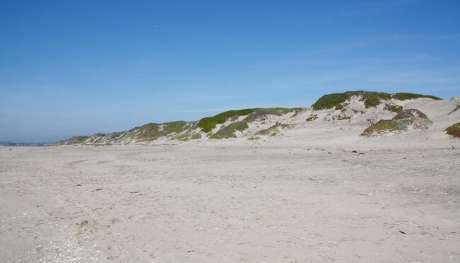
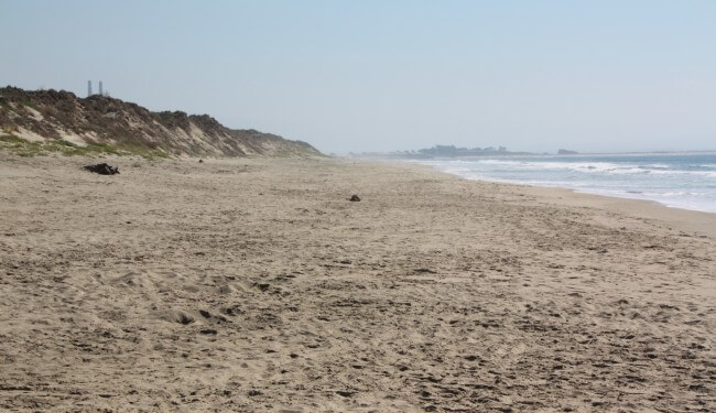
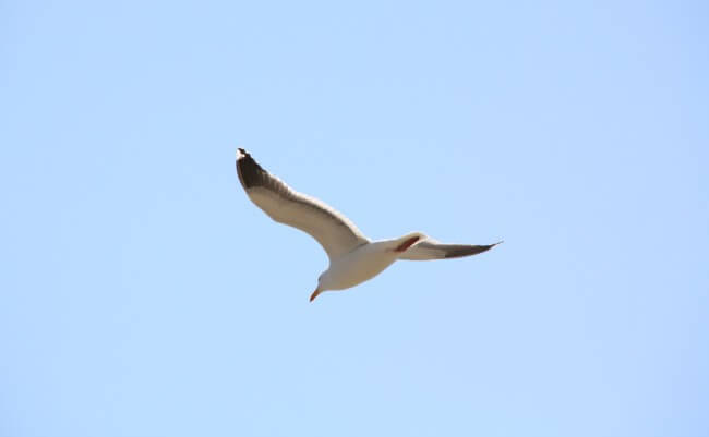
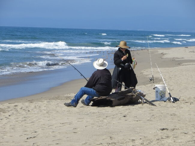
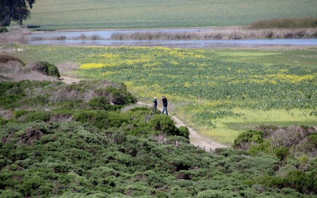
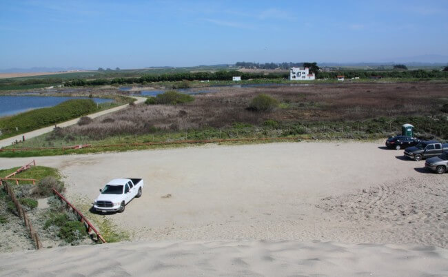
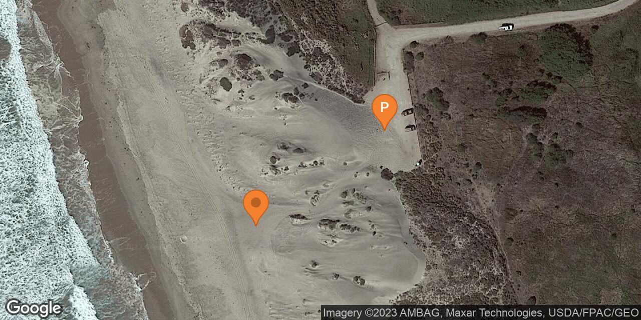
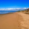
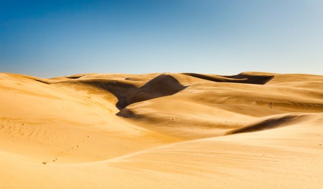
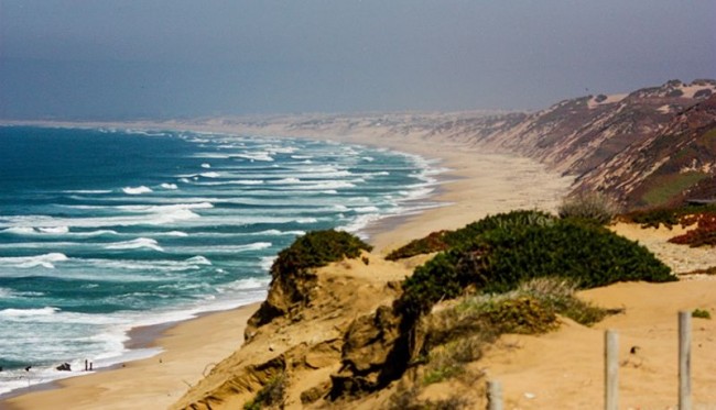
Zmudowski State Beach is located north of the small town of Moss Landing, CA. It’s a long remote sandy beach with tall dunes and vast wetlands behind it. The most popular activities here are surf casting and birdwatching. Zmudowski State Beach fills a gap between Moss Landing State Beach and Palm Beach in Sunset State Beach. This area includes the sandy mouth of the Pajaro River. An old road heads north from the parking area making it easy to walk to the beach at the river mouth. The state park also protects land along the Pajaro River between farmlands from the beach to Highway 1. This section of river is a great kayaking or canoeing trip, but difficult to access from the beach. The best boat put-in is at a Watsonville Park located at the end of Clearwater Lane behind the Watsonville Water Resources Center.
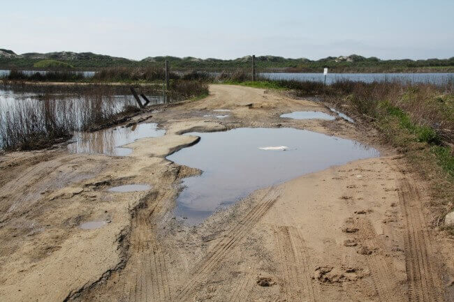
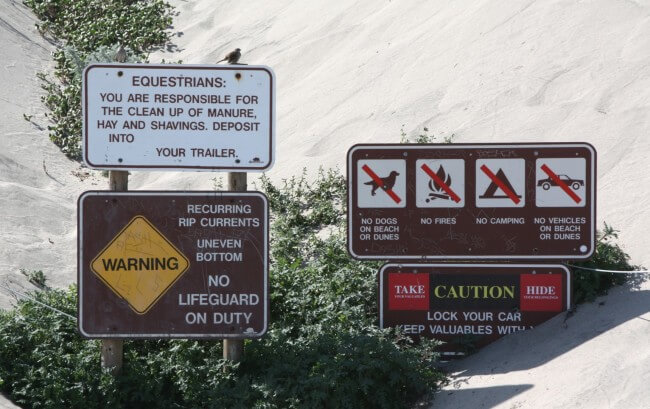
To get to Zmudowski State Beach, turn onto Struve Road from Highway 1 and then turn again onto Giberson Road which zigzags through strawberry fields and eventually dead ends at the parking lot. Sometimes the access road washes out which means parking near the road damage and walking the last quarter-mile. Note that swimming isn’t safe in these cold ocean waves which are filled with strong rip currents.
- Address
- Struve Rd and Giberson Rd
Moss Landing, CA 95039 - Park Name
- Zmudowski State Beach
- Owner
- State Park
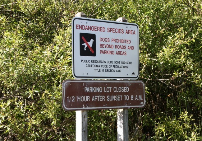
- Pet Details
- No dogs allowed on the beach
- Fees
- Free parking
- Activities
- Fishing, Birdwatching, Equestrian Use, Kayaking, Beachcombing, Hiking, Beach Walking
- Amenities
- Toilets, Dunes, Lagoon, River

Nearby Attractions


Nearby Lodging

Pajaro Dunes Vacation Rentals
2.1 miles away
Pajaro Dunes is a rural coastal community on Monterey Bay between Moss Landing and Aptos. Watsonville is just five...
At the Dunes - Vacation Rentals at Pajaro Dunes
2.1 miles away
Pajaro Dunes is a getaway destination near the center of Monterey Bay. It’s far from the hustle and bustle...
Related Articles
Related Maps
Reviews
There are no reviews yet. Be the first one to write one.