Furlong Gulch Beach
Photo Gallery


About Furlong Gulch Beach in Bodega Bay, California
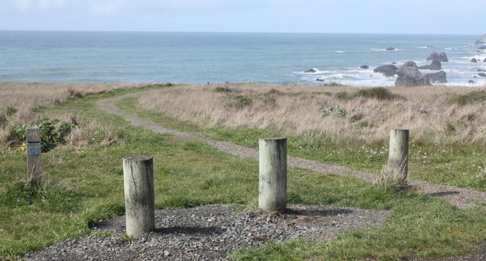
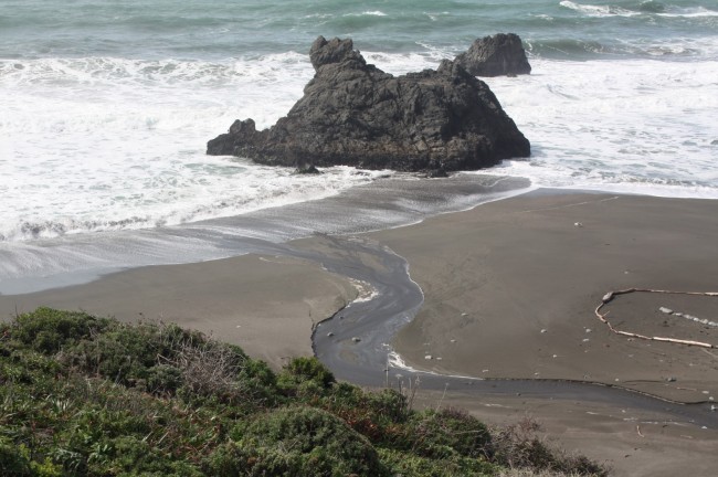
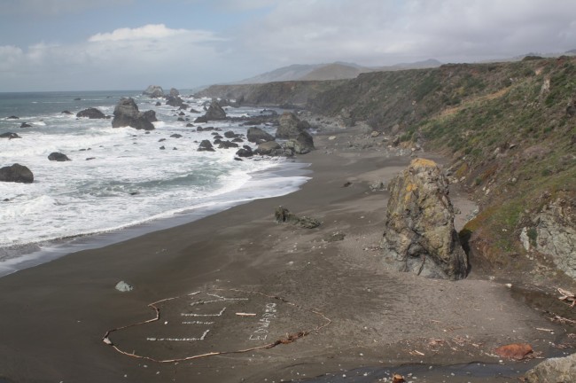
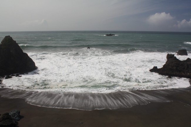
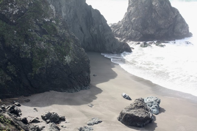
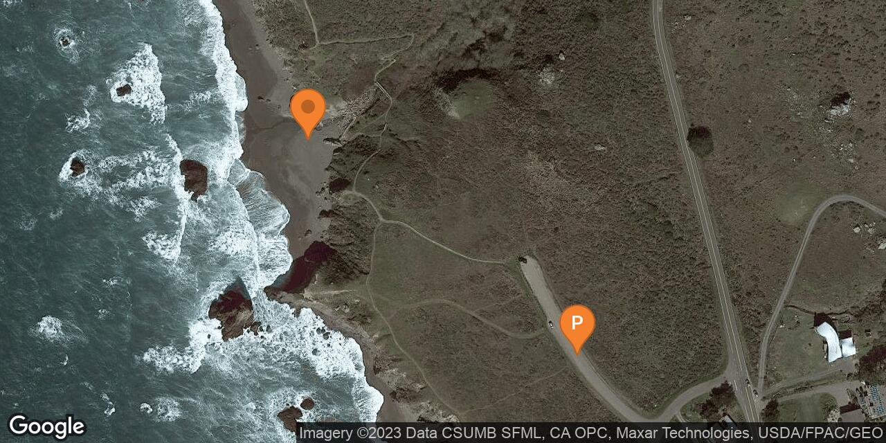
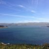
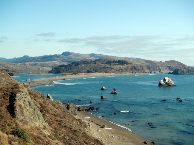
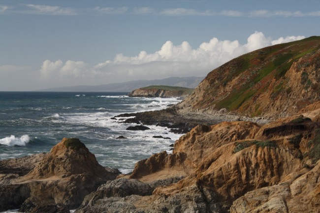
Furlong Gulch Beach is a Sonoma Coast State Park located where Furlong Gulch Creek drains into the Pacific. It is between Shell Beach and the north end of Wrights Beach. Furlong Gulch Beach isn’t big, but it’s a picturesque spot with many rocks and seastacks in the surf, especially looking north.
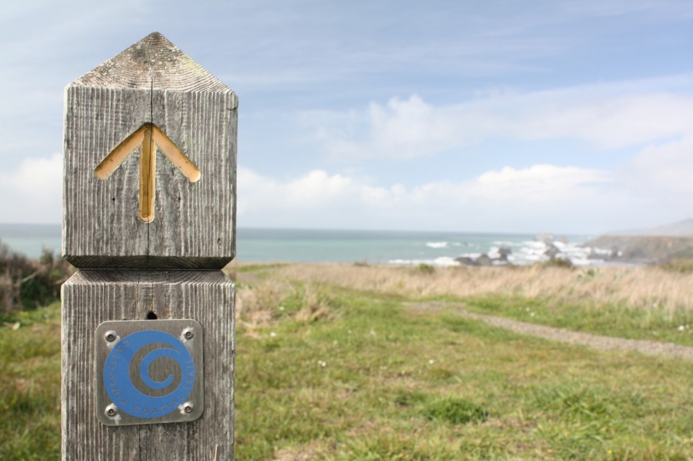
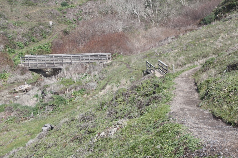
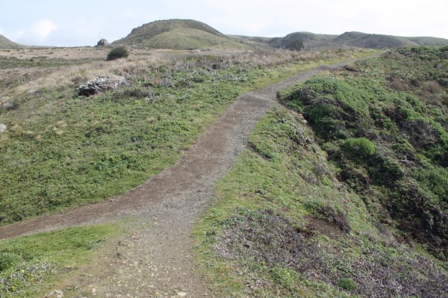
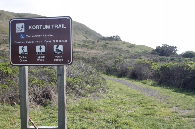
To get there, turn off Highway 1 onto Carlevaro Way a few miles south of Jenner. After turning onto Carlevaro Way the road splits. Turn north onto Grill Way where a trail to Furlong Gulch Beach begins. The south road goes to a trailhead for the Kortum Trail which heads to Wrights Beach in 0.8 miles.
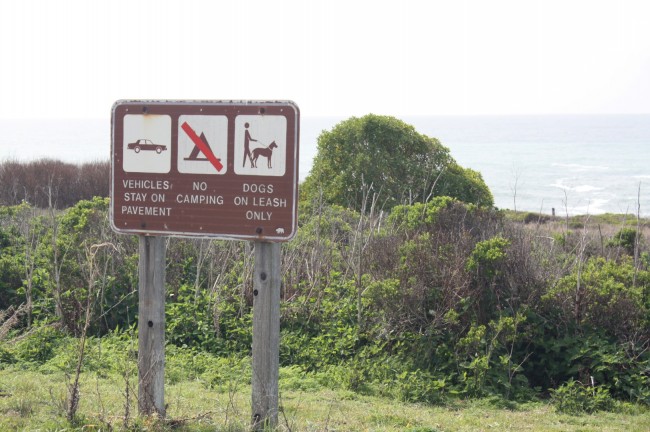
Wrights Beach has a great campground if you want to camp along this stretch of the Sonoma Coast. The Kortum Trail also heads north all the way to Blind Beach and Goat Rock Beach. It’s a great hike on a clear day. Don’t swim in the waters here as the currents are too strong.
- Address
- Hwy 1 and Carlevaro Way
Bodega Bay, CA 94923 - Park Name
- Sonoma Coast State Park
- Owner
- State Park
- Pet Details
- Dogs are allowed on the beach
- Activities
- Fishing, Beachcombing, Hiking
- Amenities
- Trails, No Facilities

Nearby Attractions
Nearby Lodging
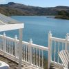
Jenner Inn & Cottages
2.2 miles away
The Jenner Inn offers an ideal setting along the Sonoma Coast, filled with natural beauty and plentiful outdoor recreation....
Chanslor Guest Ranch
4.4 miles away
Set on a 378-acre site near Bodega Bay, this ranch and wildlife preserve is surrounded by 10,000 acres of...
Related Articles
Related Maps
Reviews
There are no reviews yet. Be the first one to write one.