Lake Earl Wildlife Area
Photo Gallery


About Lake Earl Wildlife Area in Crescent City, California
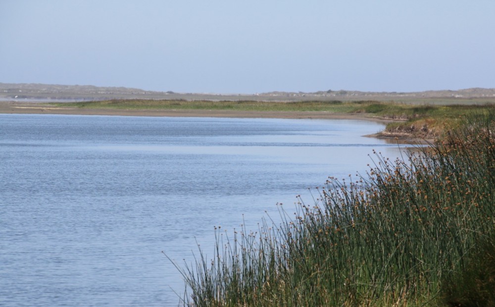
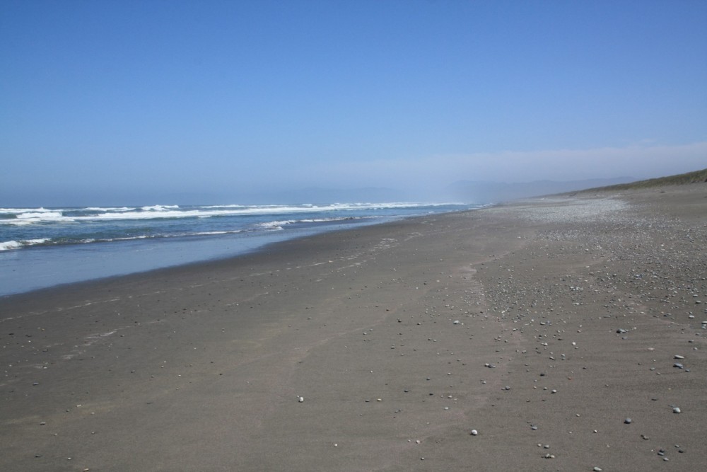
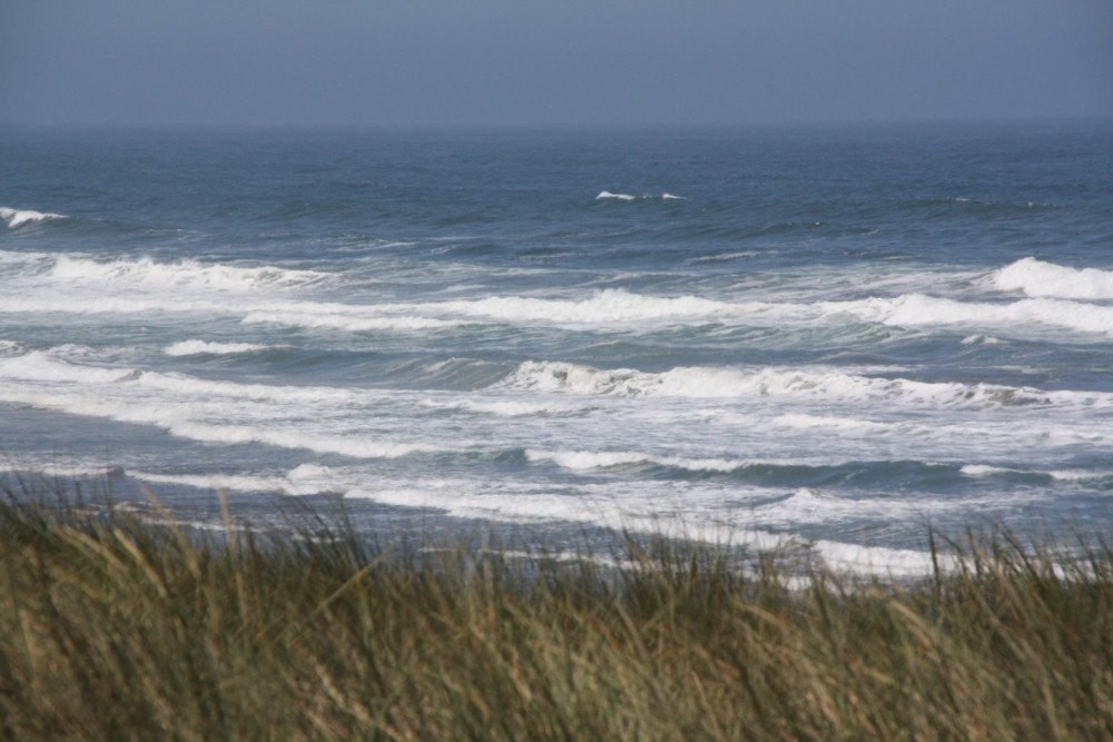
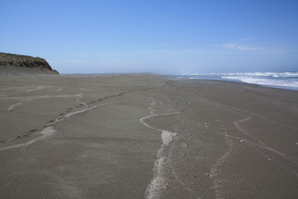
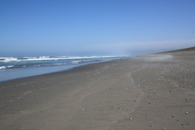
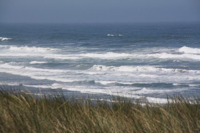
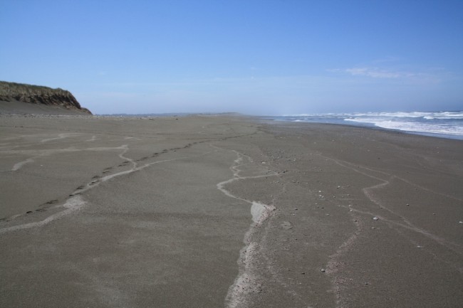
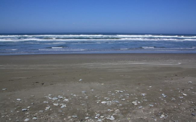
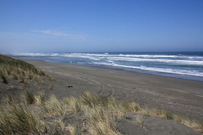
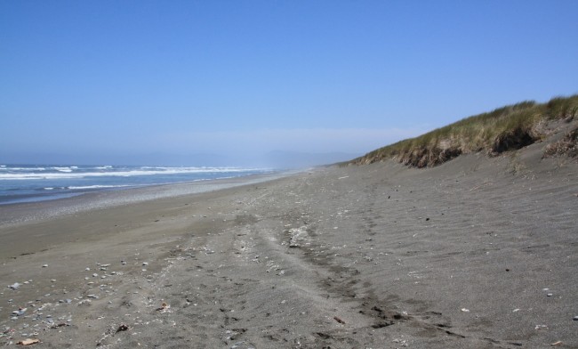
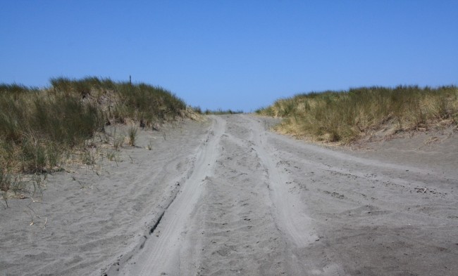
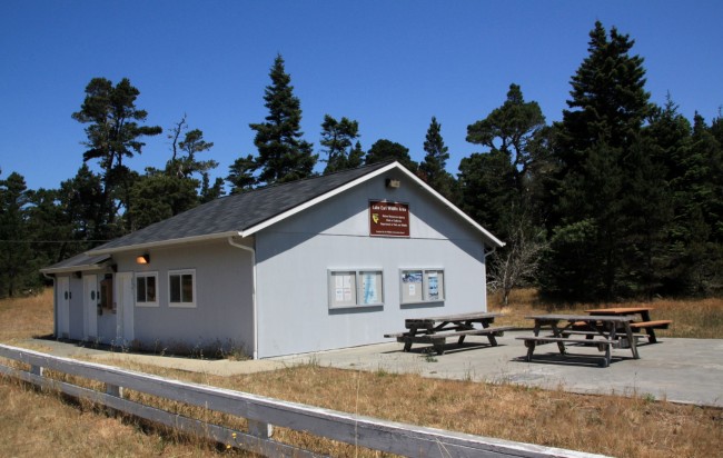
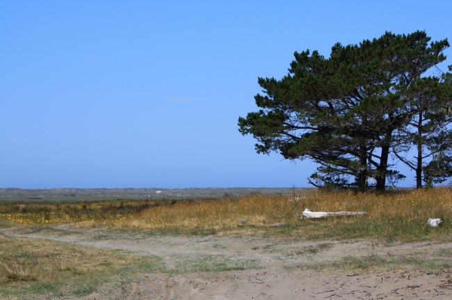
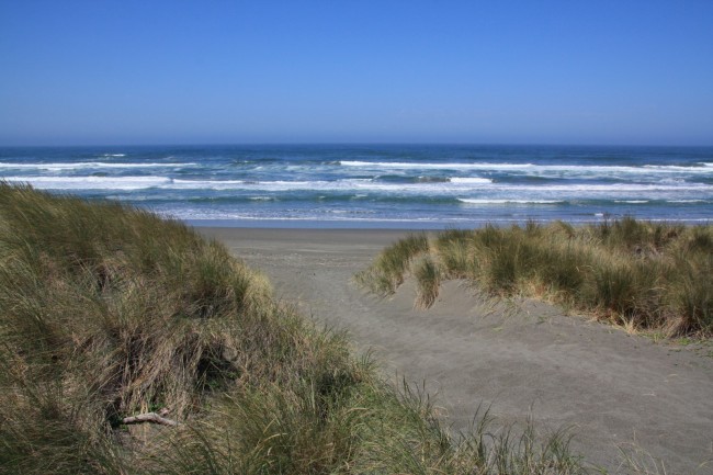
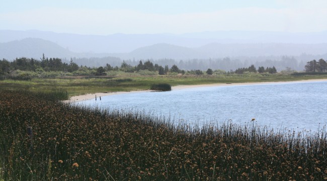
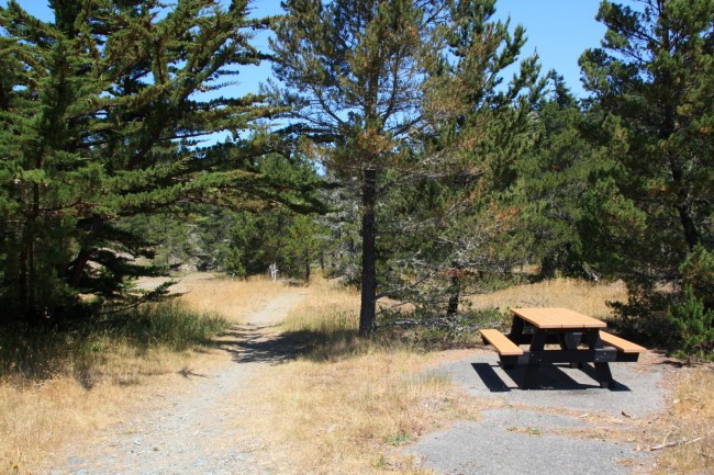
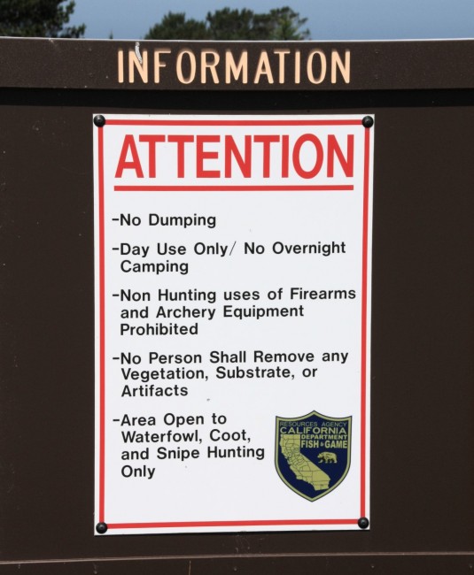
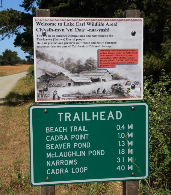
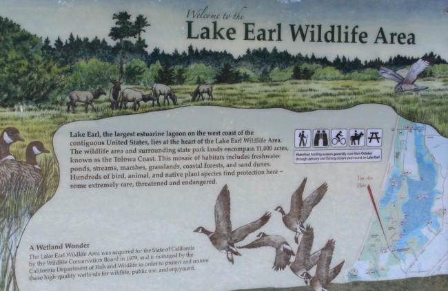
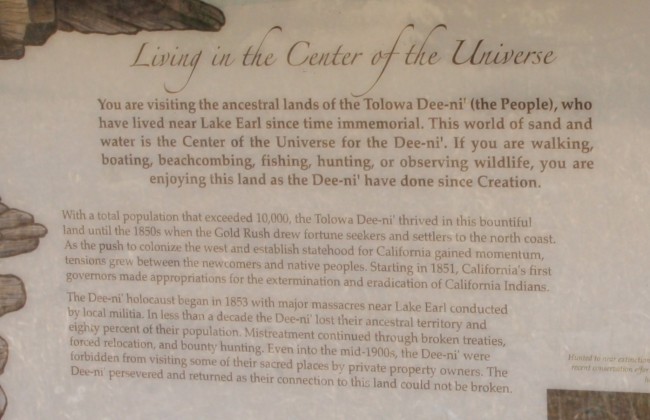
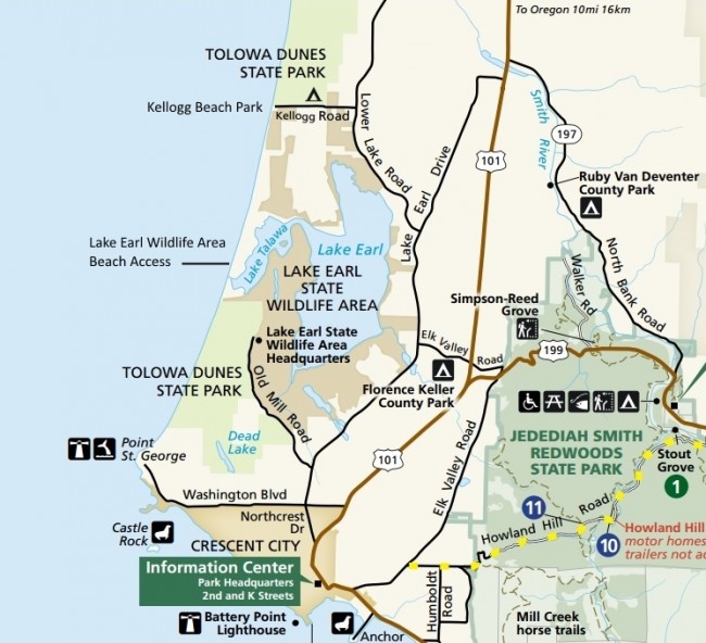
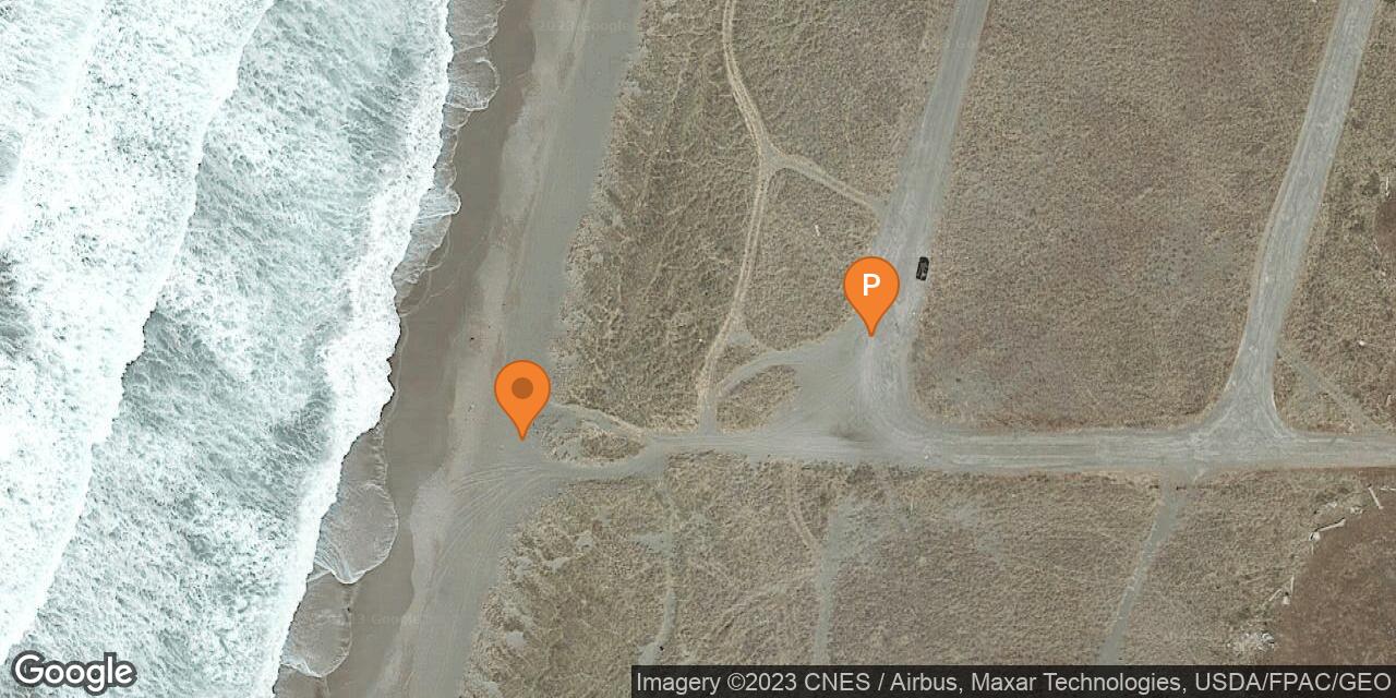
Lake Tolowa and the larger adjacent Lake Earl are coastal lagoons that attract many species of birds. They are both part of Lake Earl State Wildlife Area just north of Crescent City, California. The beach here is part of a continuous sandy shoreline that starts at Point St. George and stretches northward through Tolowa Dunes State Park and Lake Earl Wilderness Area all the way to the mouth of the Smith River. The outflow of the lake often cuts through the beach making it difficult to get from one side of the wildlife area to the other without driving around. To reach the northern beach access from Hwy 101 turn west on Kings Valley Road north of Crescent City and continue straight to Lower Lake Road. Turn right, then immediately go left on Kellogg Road and look for Tell Boulevard, a separated 2-lane road on the left. Take the first major right off Tell Blvd and follow this road to the end at the outflow of Lake Tolowa. There are several beach access points along this road. Lake access is best at the end of Tell Blvd where a boat launch makes it easy to go canoeing, kayaking, boating, or fishing. The southern access is at the end of Old Mill Road which branches off Lake Earl Drive. Hunting is allowed at the northern access whereas the southern access is best for hiking and birding. We suggest using maps to get here since roads in this area are not signed well. The wildlife area office is on Old Mill Road.
- Address
- Tell Blvd
Crescent City, CA 95531 - Park Name
- Lake Earl State Wildlife Area
- Owner
- State
- Pet Details
- Dogs allowed
- Fees
- Free parking at both access points
- Activities
- Hiking, Birdwatching, Hunting, Beachcombing, Beach Driving, Boating, Fishing, Mountain Biking, Canoeing, Kayaking
- Amenities
- Boat Launch, Trails, Driftwood

Nearby Attractions


Nearby Lodging

Crescent City-Redwoods KOA Campground & Cabins
3.6 miles away
The Redwoods KOA in Crescent City has cabins for rent in addition to the standard camp sites. This comes...
Related Articles


Reviews
There are no reviews yet. Be the first one to write one.