Miramar Beach
Photo Gallery


About Miramar Beach in Half Moon Bay, California
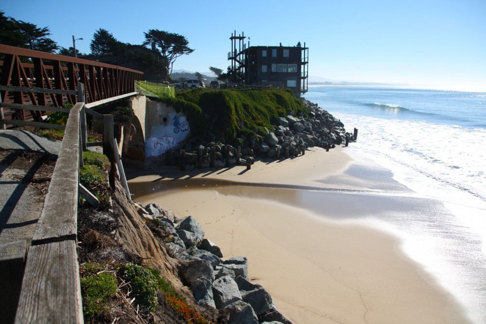
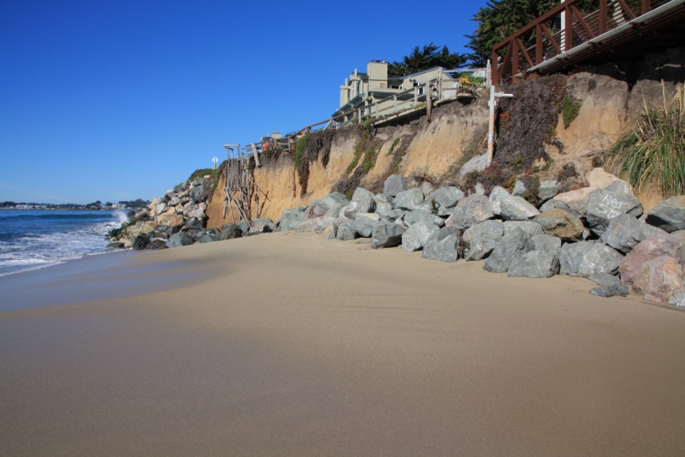
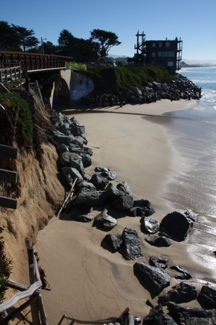
Miramar Beach parallels Mirada Road in the Half Moon Bay neighborhood of Miramar. The beach and the road are eroding away so during high tides there is no sand exposed to walk on. A rock barrier is doing its best to protect the pavement above the beach.
The portion of the road north of Magellan Avenue fell into the ocean long ago. What’s left is an undeveloped open park area and an eroding shoreline, but you’ll find more beach there than along Mirada Road. This park is known as Mirada Surf West (an area once called Vallejo Beach) and contains a portion of the California Coastal Trail that runs north and south for bikers, runners, and walkers. Restrooms are available where the trail intersects Magellan Ave.
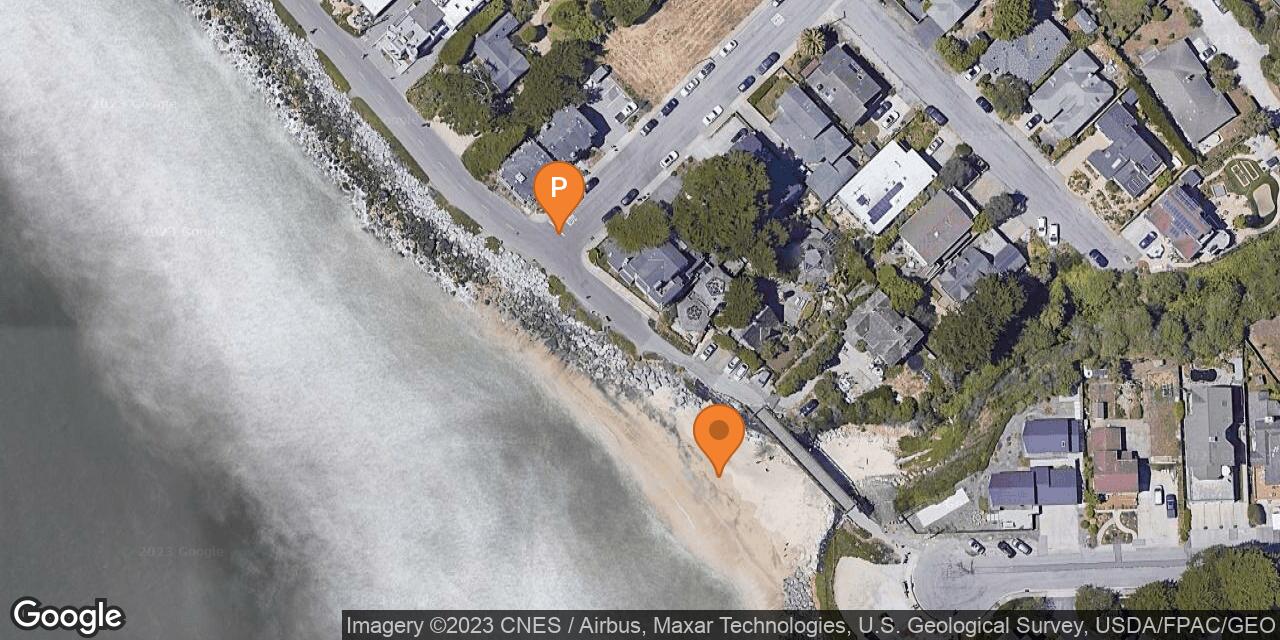
Miramar is located off Highway 1 between Half Moon Bay and a planned community called El Granada. To get to Miramar, turn onto Magellan or Medio Avenue and then look for free parking spaces along the street shoulders.
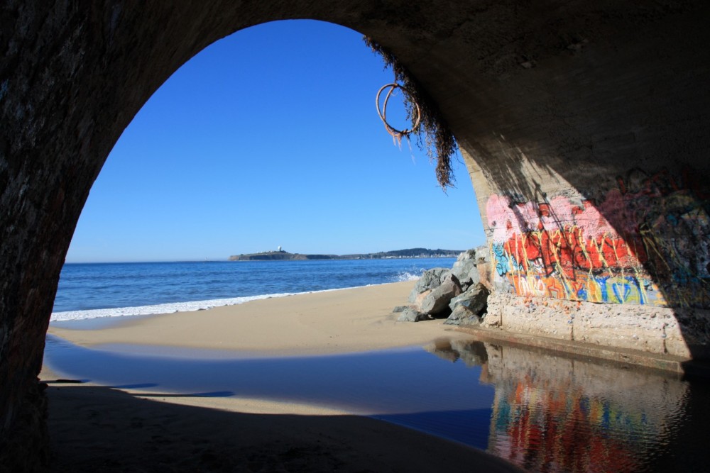
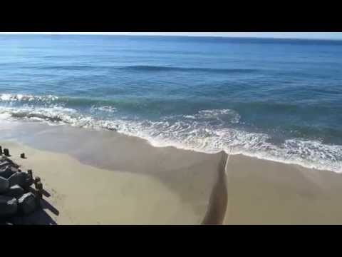
One of the best pockets of sand exists below the footbridge where Arroyo de en Medio Creek flows intermittently to the ocean. To access the beach at this location, find parking spaces near the intersection of Mirada Rd and Medio Ave or look for legal parking spots south of the footbridge (next to address 201 Mirada Rd, El Granada, CA 94018). The access stairway has been destroyed so the only safe beach access is behind the footbridge where a steep path descends to the creek. From there you can walk under the bridge (which is adorned with colorful graffiti) to the beach. If you walk south on the beach or on the Coastal Trail you will run into Roosevelt Beach in Half Moon Bay State Beach (a beach that we highly recommend).
Miramar Beach Restaurant is a tasty stop and has a new entrance off Magellan Avenue. If you want to stay in Miramar, book a stay at the Landis Shores Oceanfront Hotel or the Cypress Inn which are both on the waterfront.
- Address
- 201 Mirada Rd
Half Moon Bay, CA 94018 - Other Names
- Mirada Foot Bridge, Half Moon Bay Coastal Trail
- Owner
- City
- Pet Details
- Dogs allowed off leash
- Fees
- Free street parking
- Activities
- Biking, Hiking, Running, Walking, Surfing
- Amenities
- Bike Path, Trails, Restaurant, Hotels, Restrooms (on the trail at Magellan Ave)
- Links
- Water Temps Tide Chart

Nearby Attractions
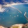
Pillar Point Harbor
1.2 miles away
Pillar Point Harbor occupies the north end of Half Moon Bay. It provides shelter for boats traveling up and...
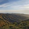
Rancho Corral de Tierra
2 miles away
Rancho Corral de Tierra is a National Park Service owned open space on San Mateo Peninsula. It is co-managed...
Nearby Lodging

Related Articles

Reviews
https://www.hmbreview.com/news/county-to-repair-mirada-road-after-storms-erosion/article_61e38438-db55-11ee-9b9b-3b1ac73f30b8.html
The beach road is down to one lane now. San Mateo County promises to fix it and turn it back to two lanes – hopefully by this summer.