Pfeiffer Beach
Photo Gallery





About Pfeiffer Beach in Big Sur, California
Pfeiffer Beach in the Big Sur area is definitely off the beaten path, but well worth the drive. In fact, this one qualifies as a California bucket list beach with one of the most photographed rock arches and unique purple sand (yes you read that right).
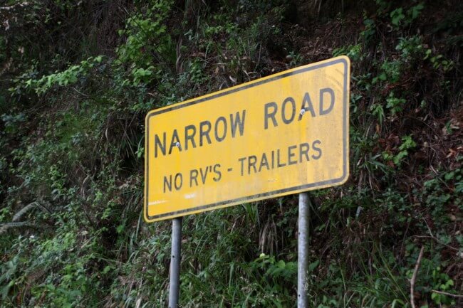
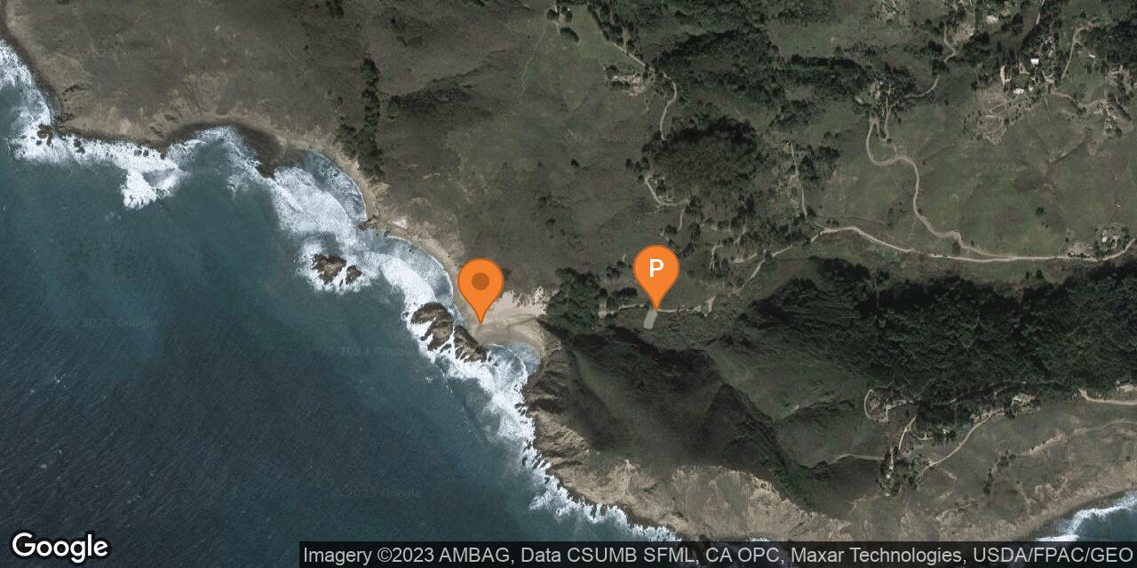
Just south of Big Sur Station on Highway 1 there is unsigned Sycamore Canyon Road which winds its way down to the shore. The two-mile long road is paved, but it is twisty and narrow so RV’s and trailers are not allowed (look for the yellow “Narrow Road” sign at the turn-off).
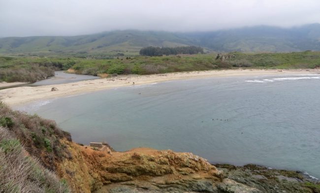
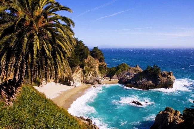
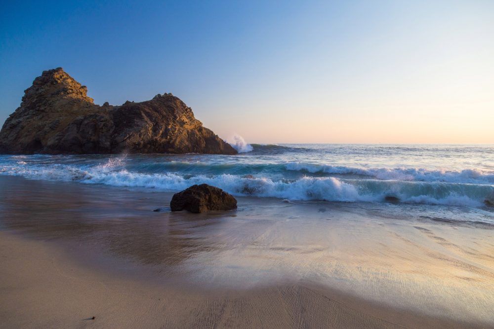
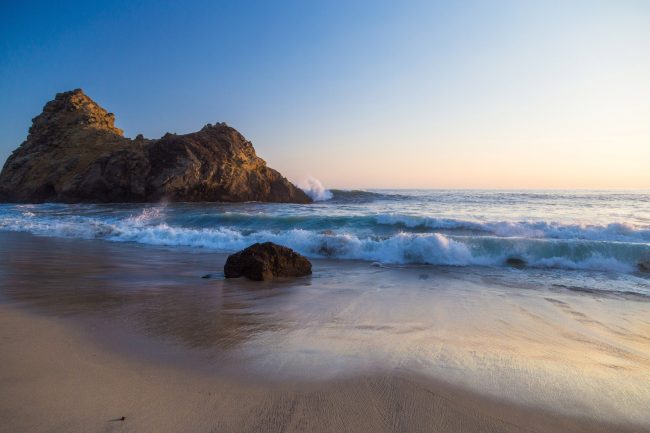
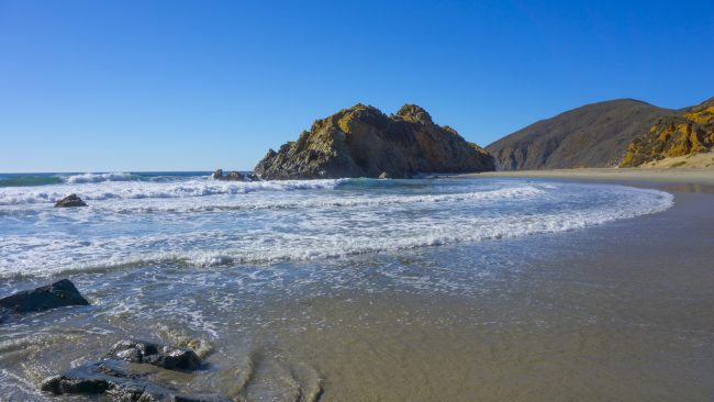
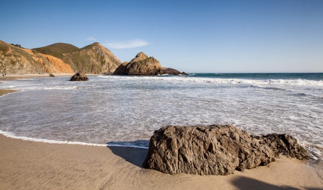
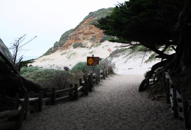
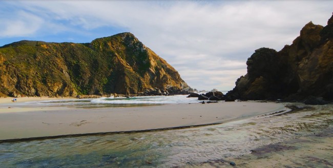
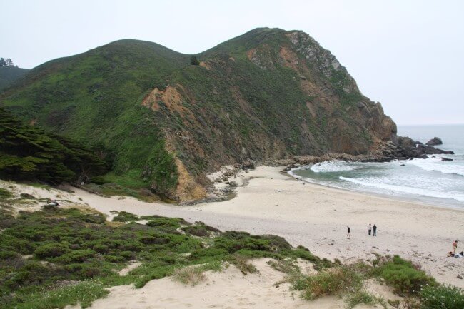
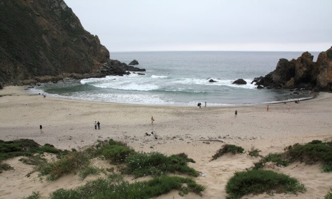
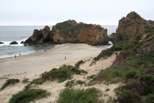
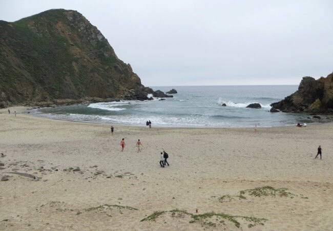
From the parking area you have a short walk down to the beach. At this location Sycamore Canyon Creek empties into the Pacific and forms a lagoon during low flow. On the right is a steep sandy dune and on the left there’s a cove partially protected by rocky Pfeiffer Point.
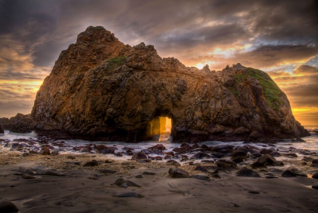
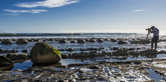
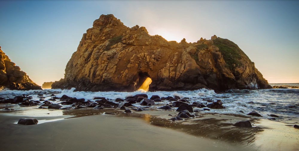
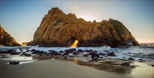
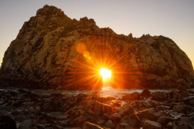
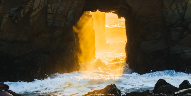
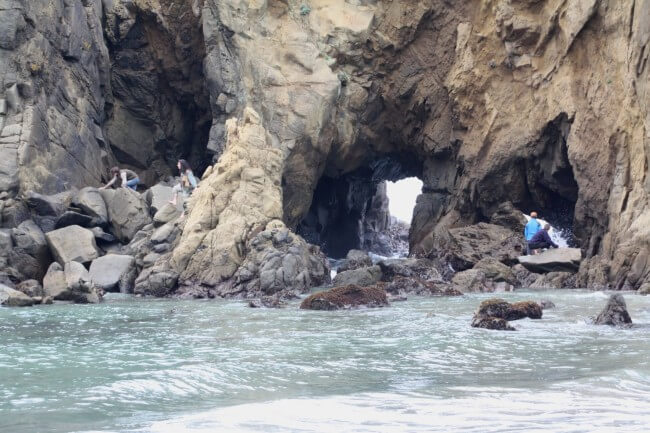
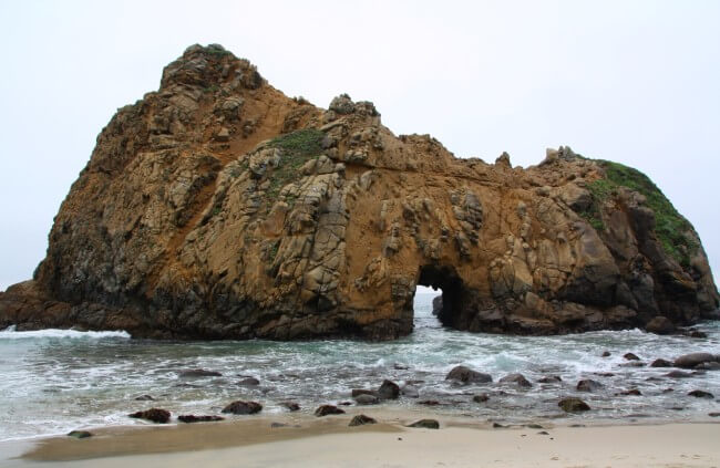
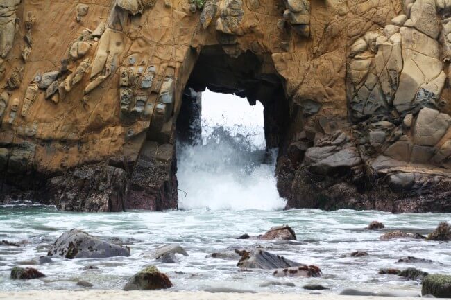
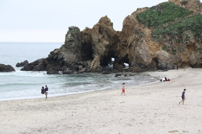
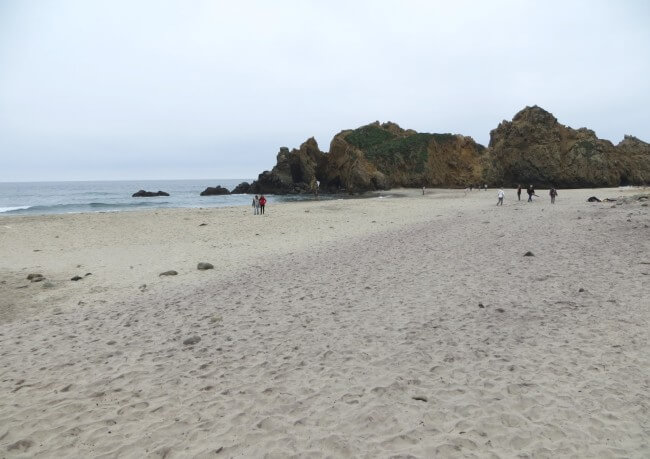
The focal point on your walk to the shore is the massive rock (actually two rocks) in the crashing surf. One rock has a rock arch in it known as the Keyhole Arch. This amazing natural arch allows waves, and even the last rays of daylight, to pass through it. This spot is strikingly beautiful at sunset and frequently has professional photographers with tripods set up. Because the sun sets differently throughout the year, these shots can be different each time you visit.
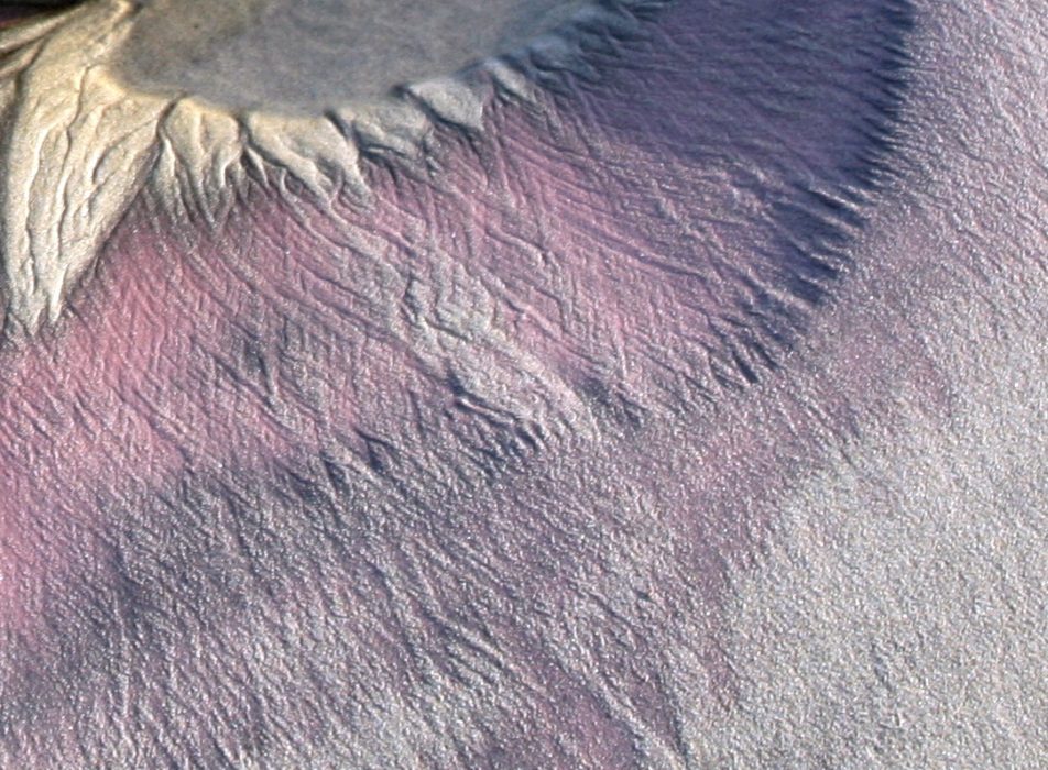
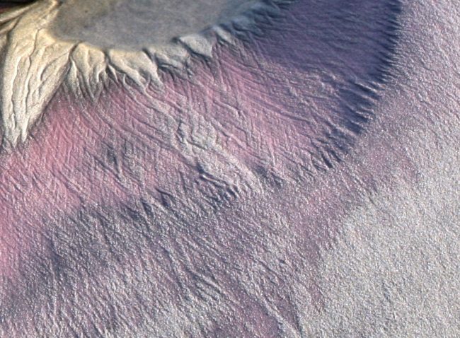
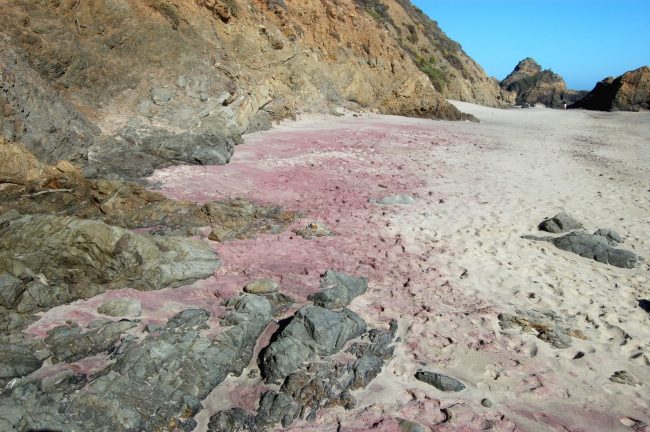
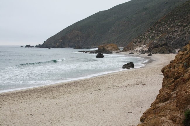
The north end of Pfeiffer Beach is special too. In this area you can find unique purple sand that comes from manganese garnet rocks in the cliffs. Take pictures of this oddity, but don’t take any sand as that is illegal (and highly uncool). There is purple sand near the arch too, especially at the base of the cliffs. The north end of the beach also has extensive tide pools during low tides.
Pfeiffer Beach is on land within Los Padres National Forest, but is managed with help from the California Coastal Commission.
- Address
- 9100 Sycamore Canyon Rd
Big Sur, CA 93920 - Phone
- 831-667-2315
- Park Name
- Los Padres National Forest, Pfeiffer Beach Day Use Area
- Other Names
- Sycamore Canyon Creek, Pfeiffer Point, Keyhole Arch
- Owner
- National Forest
- Pet Details
- Dogs allowed on leash
- Fees
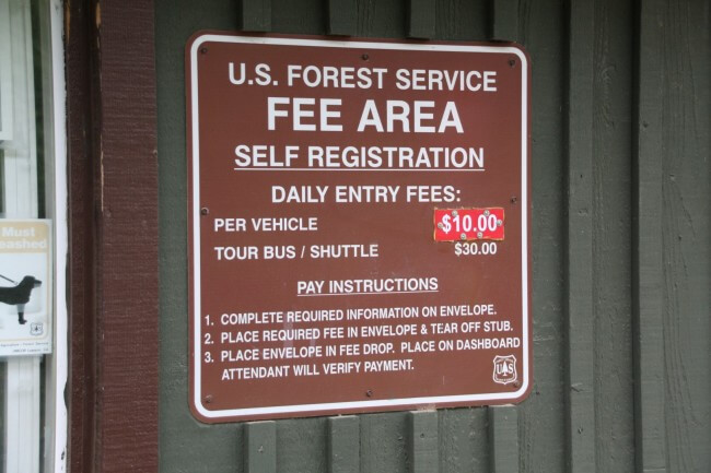
- Fees for parking
- Activities
- Photography, Beach Walking, Beach Exploration, Tidepooling
- Amenities
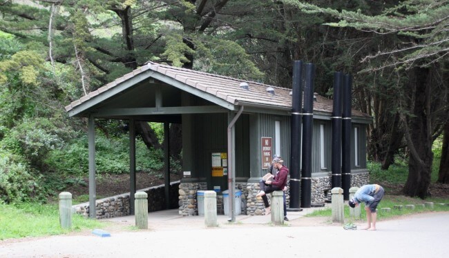
- Rock Arch, Tide Pools, Restrooms, Cairns, Unique Sand, Dunes
- Links
- Tide Chart Water Temps
 60°F
60°FNearby Beaches
Wreck Beach
0.8 miles away
Wreck Beach is below private property on Los Padres National Forest lands near Big Sur Station. The beach has...
Rancho Rico Beach
1.5 miles away
Rancho Rico is a privately-owned ranch in the Big Sur area. Based on what we can see from aerial...
Andrew Molera State Park
3.3 miles away
Andrew Molera State Park Beach is a long sandy, rocky, and driftwood-covered beach along the base of the Big...
Nearby Attractions
Pfeiffer Big Sur State Park
1.8 miles away
Pfeiffer Big Sur State Park is right in the heart of Big Sur. It’s a perfect base camp for...
Pfeiffer Falls
2.1 miles away
Pfeiffer Falls is located in Los Padres National Forest near the small town of Big Sur. These 60 foot...
Nearby Lodging
Big Sur Lodge
1.7 miles away
Stop in at the Big Sur Lodge as you drive the windy scenic road from Cambria to Carmel. This...
Glen Oaks Big Sur
1.8 miles away
Designed with renewable and recycled materials, the romantic Glen Oaks Big Sur offers a refreshingly unique take on rustic...
Related Articles
Reviews
Great memories from our trip to Pfeiffer last summer. Drive slow on the way to the beach. Go in the morning as this beach is close to where everyone stays in Big Sur.
There is a place at the north end of the beach with many cairns (stacked rocks). It’s much quieter up there but it’s a long way from the arch.
Note that the road is often closed due to flooding and erosion so check the NF website or stop to see the friendly folks at Big Sur Station before you go to the beach.

