Northern California Backroads near Crescent City
If you want to explore the area around Crescent City California on backroads, we’ve done the research for you. These day trips are for folks who enjoy driving for the sake of driving and are looking for twisty roads with settings seldom seen.
As is common with backcountry roads, these are a combination of paved and dirt roads. The dirt portion of these drives are usually in good shape so they can be driven in normal two wheel drive cars. Be sure to fuel up your car before heading out.
Orick to Weitchpec on Bald Hills Road
Paved and dirt roads
This backroad follows the Bald Hills Road over the Coast Range from the coastal town of Orick to the unincorporated Yurok tribal town of Weitchpec on Highway 96. About five miles in the center of the drive is unpaved, but typically in good condition. The rest is a twisty mountain road. On the east end you’ll cross over Martin’s Ferry Bridge before reaching Highway 169. To extend the drive you can do the out-and-back north on 169 along the Klamath River to the Yurok town of Wauteck Village (dead end road). If you want to loop back to the coast, turn right on Highway 169 to Weitchpec and go south on Highway 96 through Hoopa then go west on Highway 299 which returns you to Highway 101 in Arcata.
Since you like driving, the beach we suggest near Orick is Fern Canyon Beach at the end of Gold Bluffs Beach Road.
Crescent City to G-O Road on Howland Hill Scenic Drive
Paved and dirt roads
This road (the G-O Road) is a head scratcher. It’s a striped paved road that dead ends in the middle of nowhere but it’s a great drive. This trip takes off from Crescent City on Howland Hill Scenic Drive which can be found branching off Elk Valley Road east of town. Howland is a dirt road in good shape, but it is very narrow and passes by huge Redwood trees right at the road’s edge and sometimes leaning over the road. This road and those massive trees are part of Jedediah Smith Redwoods State Park and you should consider a stop to walk the trail at Stout Memorial Grove. Howland Road eventually connects with South Fork Road near where it begins on Highway 199. Turn right onto South Fork Road (County Road 427) which meanders for 13 miles to an area known as Big Flat where there are homes, farms, and a national forest campground if you want to camp (Big Flat Campground). At Big Flat before the camp turn right onto G-O Recreation Road (NF Road 15) and cross over the South Fork Smith River. This road goes for 18 blissful paved miles past campgrounds and side roads to the mysterious dead end in the mountains at 4500 feet (coordinates 41.5577, -123.7643). Bring lunch and hangout in nowhereland then head back the way you came. The Boundary Trail begins here if you want to hike out on the ridge to find a view.
On your way back, if you don’t mind dirt roads, NF road 14N01 is on the left and it goes over Red Mountain (if you go, look for a side road to the summit lookout tower) and back to Highway 101 in Klamath. This road, also known as Red Mountain Road, and the G-O Road are both closed in the rainy season and usually open by mid-May.
In Klamath we recommend driving out to Klamath Beach at the mouth of the Klamath River. After visiting the beach continue driving south along Coastal Road and return via Alder Camp Road (follow signs to Hwy 101) to complete a small scenic loop.
Crescent City to Happy Camp
Paved roads
This higher speed backroad begins by heading northeast on Highway 199 (Redwood Highway) toward Grants Pass in Oregon, but turns east about half-way there on Waldo Road in the town of O’Brien, OR. Waldo Road becomes Greyback Road and trends southeast on fabulous twisty paved roads en route to Happy Camp. To get back to Crescent City you can (and should) take the long way by going south on Highway 96 and taking Bald Hills Road back to the 101 (that drive is mentioned above).
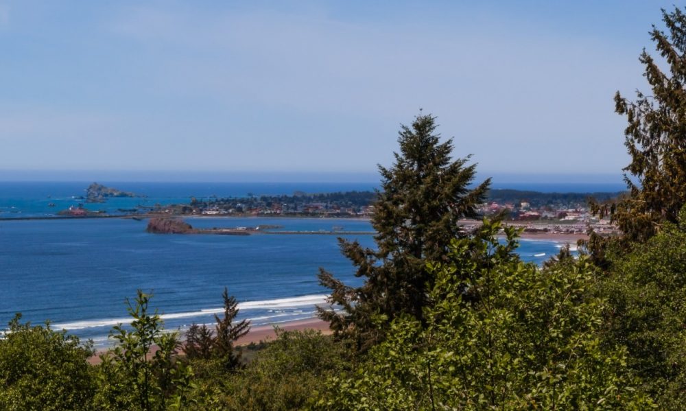
In Crescent City we recommend driving out to the beaches at Point St. George north of town.