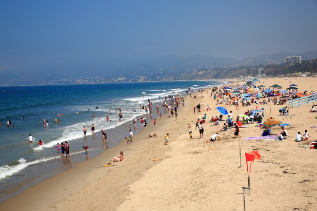
Playa Del Rey Beach
Photo Gallery


About Playa Del Rey Beach in Los Angeles, California
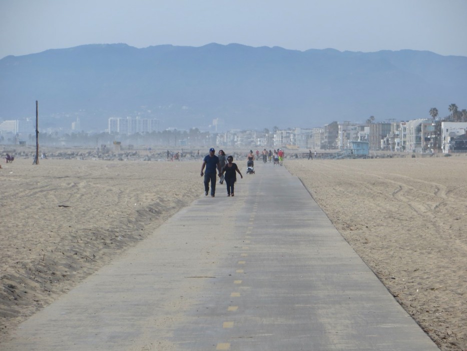
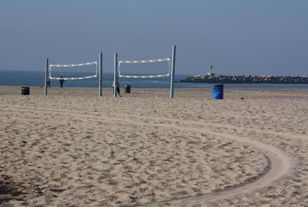
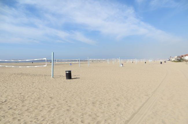
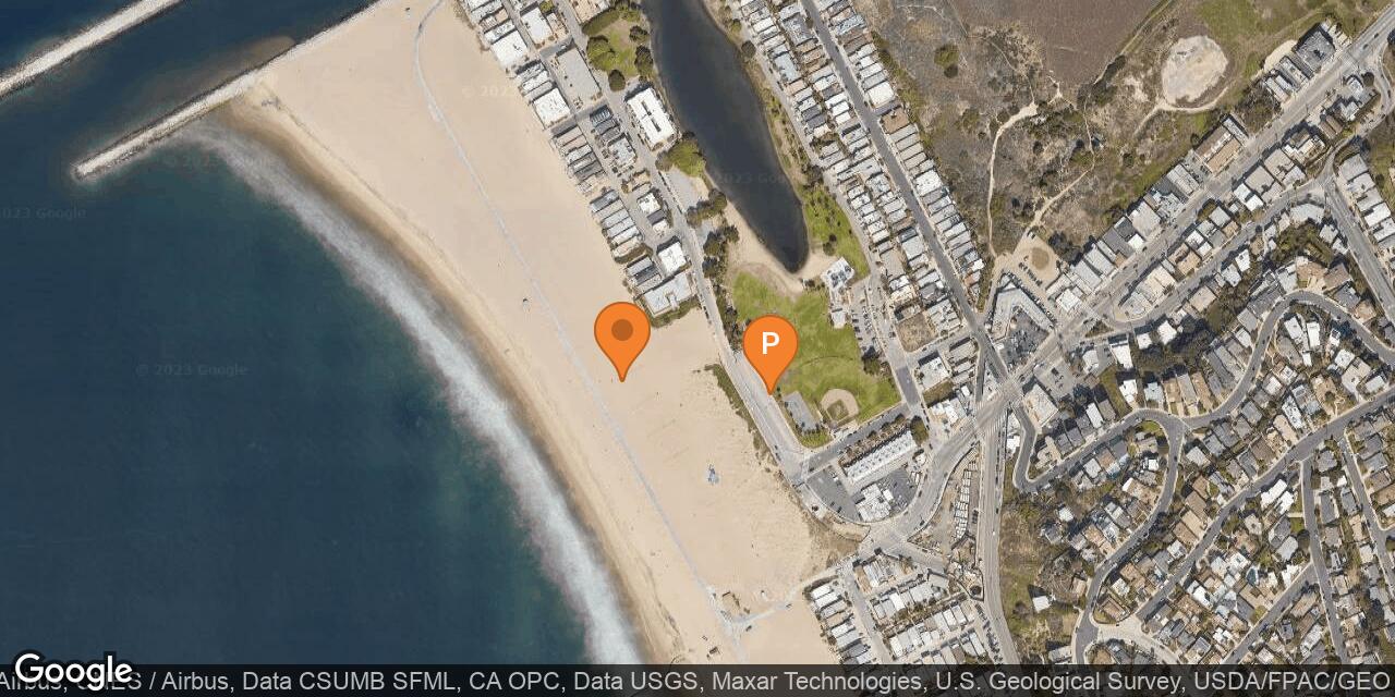
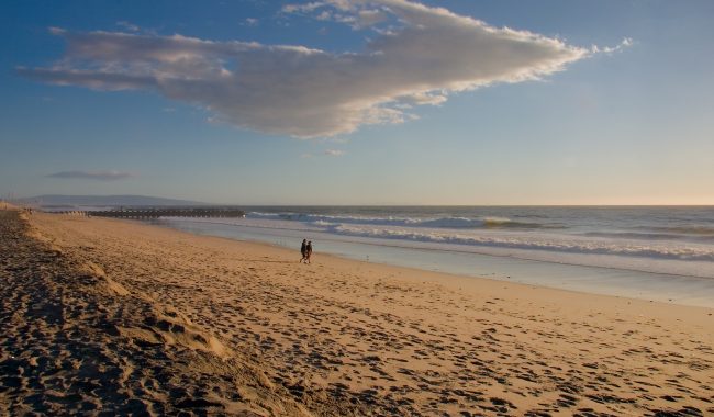
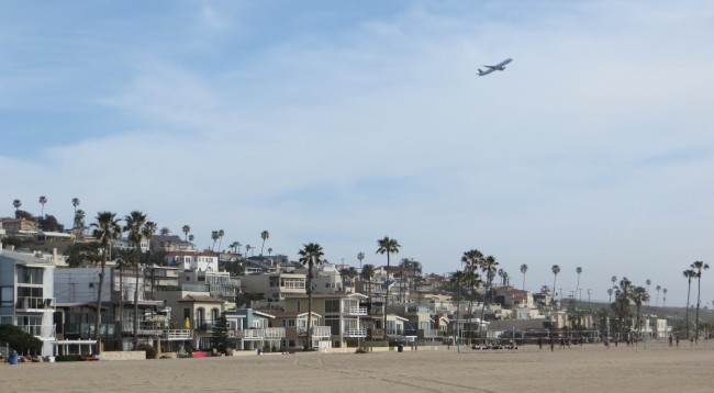
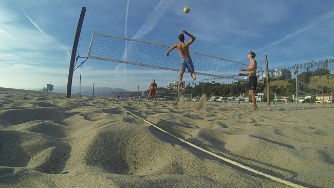
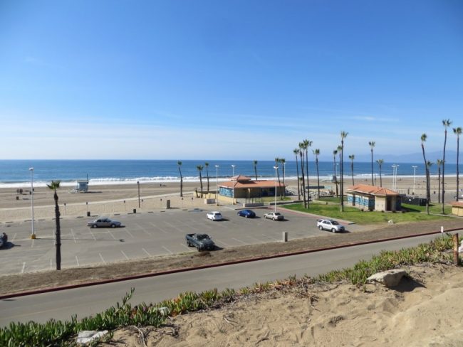
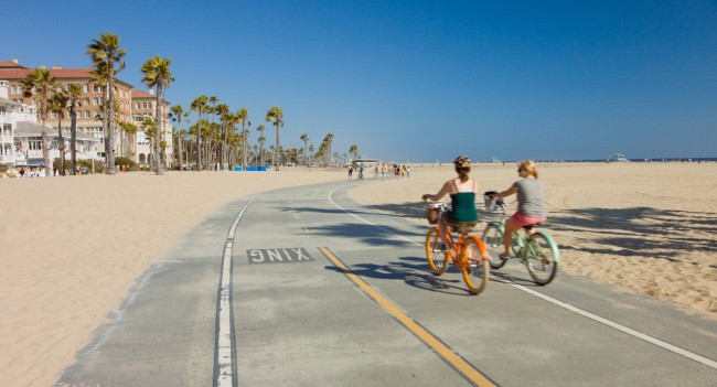
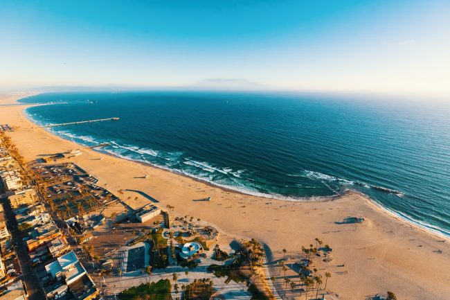
Playa Del Rey Beach is the wide sandy beach in front of the Playa Del Rey neighborhood of Los Angeles. The beach is northwest of LAX Airport on state land at the north end of Dockweiler State Beach and south of the Marina Del Rey Harbor entrance and Ballona Creek. It’s a great place to start a beach walk or a bike ride or play some beach volleyball.
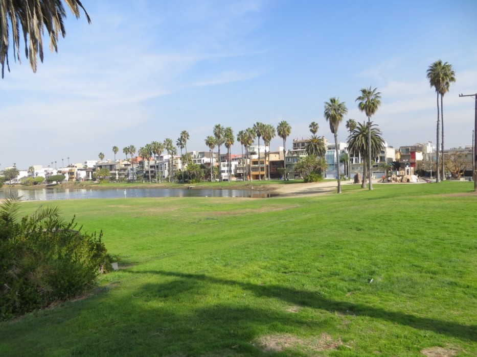
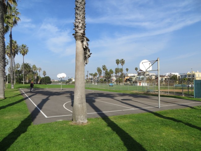
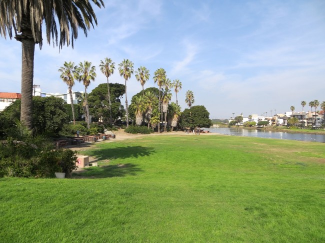
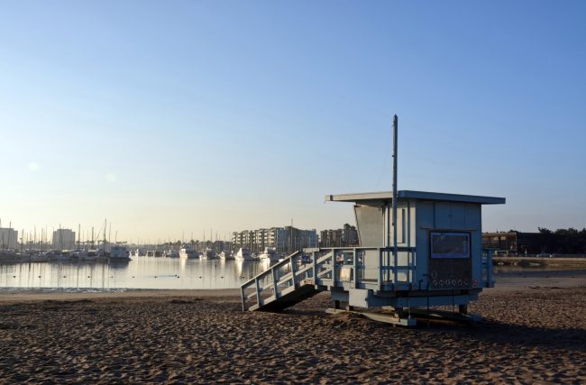
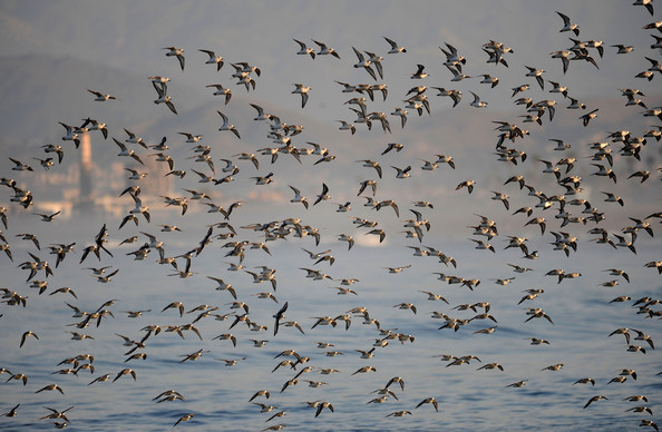
This beach, like the rest of Dockweiler State Beach, is operated by Los Angeles County and not the state. Playa Del Rey Beach offers volleyball courts, a long paved bike path called the Marvin Braude Bike Trail, and a grass park across the street that has a kids playground and basketball courts. The park is home to Del Rey Lagoon and lots of birds. Dogs are allowed on leash in the park, but are not allowed on the beach.
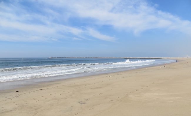
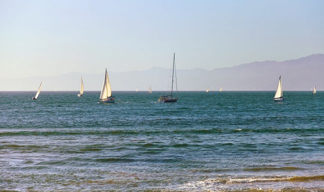
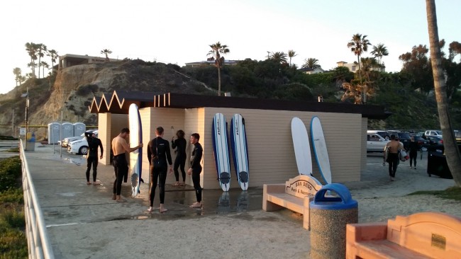
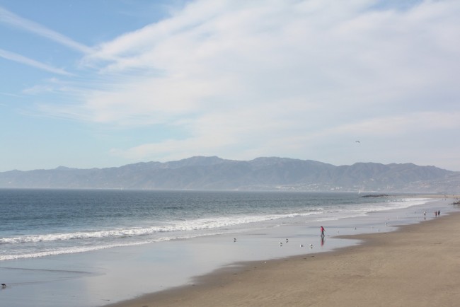
Locals call the north end of Playa Del Rey Beach “Toes Beach” for hanging ten (toes) on a surfboard. When the Marina Del Rey Breakwater was completed around 1965 the surf break here was altered too much to make it a surf destination. A bit farther south in the main part of Dockweiler State Beach, the break is better.
The best public parking is near Del Rey Lagoon Park on Pacific Avenue where a parking lot and street spots are available. Another public lot is located at the north end of Pacific Avenue.
- Address
- Culver Blvd & Pacific Ave
Los Angeles, CA 90293 - Park Name
- Dockweiler State Beach, Del Rey Lagoon Park
- Other Names
- Toes Beach, Ballona Creek
- Owner
- State Park
- Pet Details
- No dogs allowed on the beach (ok on leash in the park)
- Fees
- Free parking
- Activities
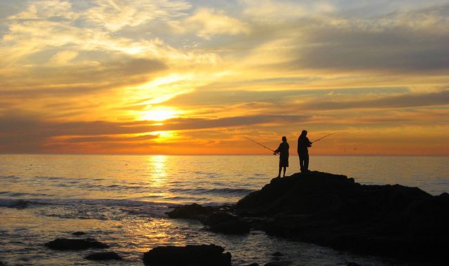
- Volleyball, Basketball, Biking, Skating, Walking, Running, Sunbathing, Swimming, Beach Walking, Birdwatching, Fishing
- Amenities
- Grass Park, Playground, Restrooms, Showers, Volleyball Courts, Basketball Courts, Lifeguard, Paved Bike Path, Jetty
 64°F
64°FNearby Beaches
Marina Peninsula Beach (Charlie Beach)
0.6 miles away
South of Venice Beach and the Venice Fishing Pier is a peninsula formed between the ocean and the Marina...
Dockweiler State Beach
1.2 miles away
Dockweiler State Beach is the long beach west of the LAX Airport in the Playa Del Rey District of...
Marina Beach (Mother’s Beach)
1.4 miles away
Marina Beach in Marina Del Rey is usually referred to as Mother’s Beach by locals because it has a...
Nearby Attractions
Nearby Lodging

Related Articles
Reviews
Mad nice for a beach day. Full of wildlife too.
Just ok beach. Protection from jetty is actually pretty cool. 3.5 stars? Didn’t know about surfing history here.