Another Big Sur Washout and Road Closure
UPDATE: the washout at Rat Creek was repaired and Highway 1 on the Big Sur Coast re-opened on April 23rd, 2021. Good news (until the next closure).
It has happened again. Heavy rains from an atmospheric river combined with recent fires that removed vegetation from the hillsides has caused Highway 1 along the Big Sur coast to be impassible. If this road wasn’t so important to California coastal tourism and the town of Big Sur, it’s likely that Caltrans would give up.
Highway 1 will be closed for the foreseeable future. A major washout has removed a section of asphalt large enough to swallow cars.
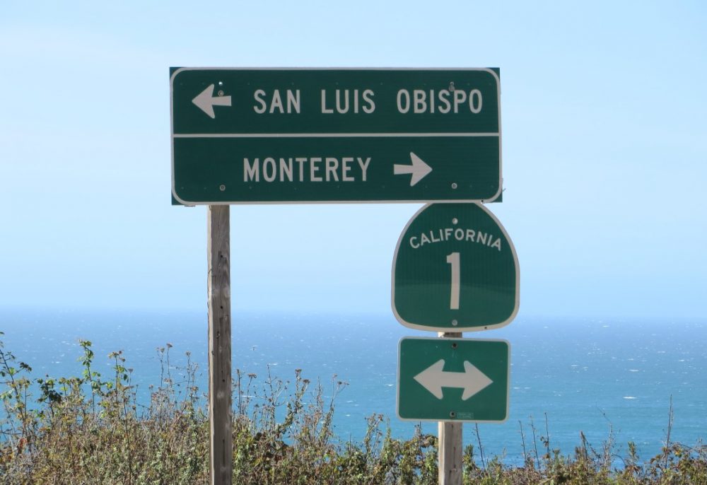
The washout occurred where a little-known and hardly noticed creek saturated the land on both sides of the road causing it to give way and slide down to the shoreline. Here is a map pin-pointing the exact location of where Rat Creek damaged Highway 1 (the coordinates are 36.09214, -121.61856). To give context, this washout is about midway between Limekiln State Park (south of the damage) and Julia Pfeiffer Burns State Park. The town of Big Sur is north of this closure and can still be reached from Monterey and Carmel, but not from Cambria and San Simeon.
From the north (from Monterey) visitors can get to:
- Town of Big Sur
- Pfeiffer Beach
- Andrew Molera State Park
- Julia Pfeiffer Burns State Park
- McWay Falls
- Esalen Institute
From the south (from Cambria) visitors can get to:
- Ragged Point Inn
- Sand Dollar Beach & Plaskett Campground
- Kirk Creek Campground
- Nacimiento-Fergusson Road
- Limekiln State Park
- Lucia Lodge
In recent years, Caltrans has had to make costly repairs when a huge hillside collapsed near the Gorda Springs Resort and a section of the highway nearly a half-mile long had to be constructed over the debris pile. Around the same time rains damaged the Pfeiffer Canyon Bridge so badly that it had to be replaced (completed in 2017). Both of these repairs caused frustrations for visiting tourists and economic hardship for local businesses.
We’ll have to wait a bit to find out how long the closure will last from this most recent washout. A contractor has already been selected so Caltrans is moving quickly. Let’s hope this closure is a short one.